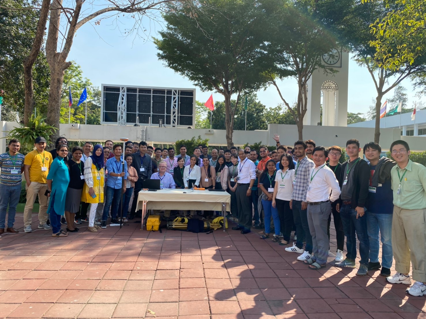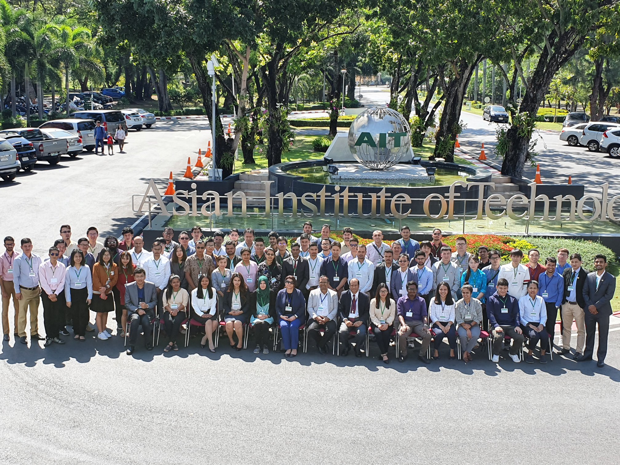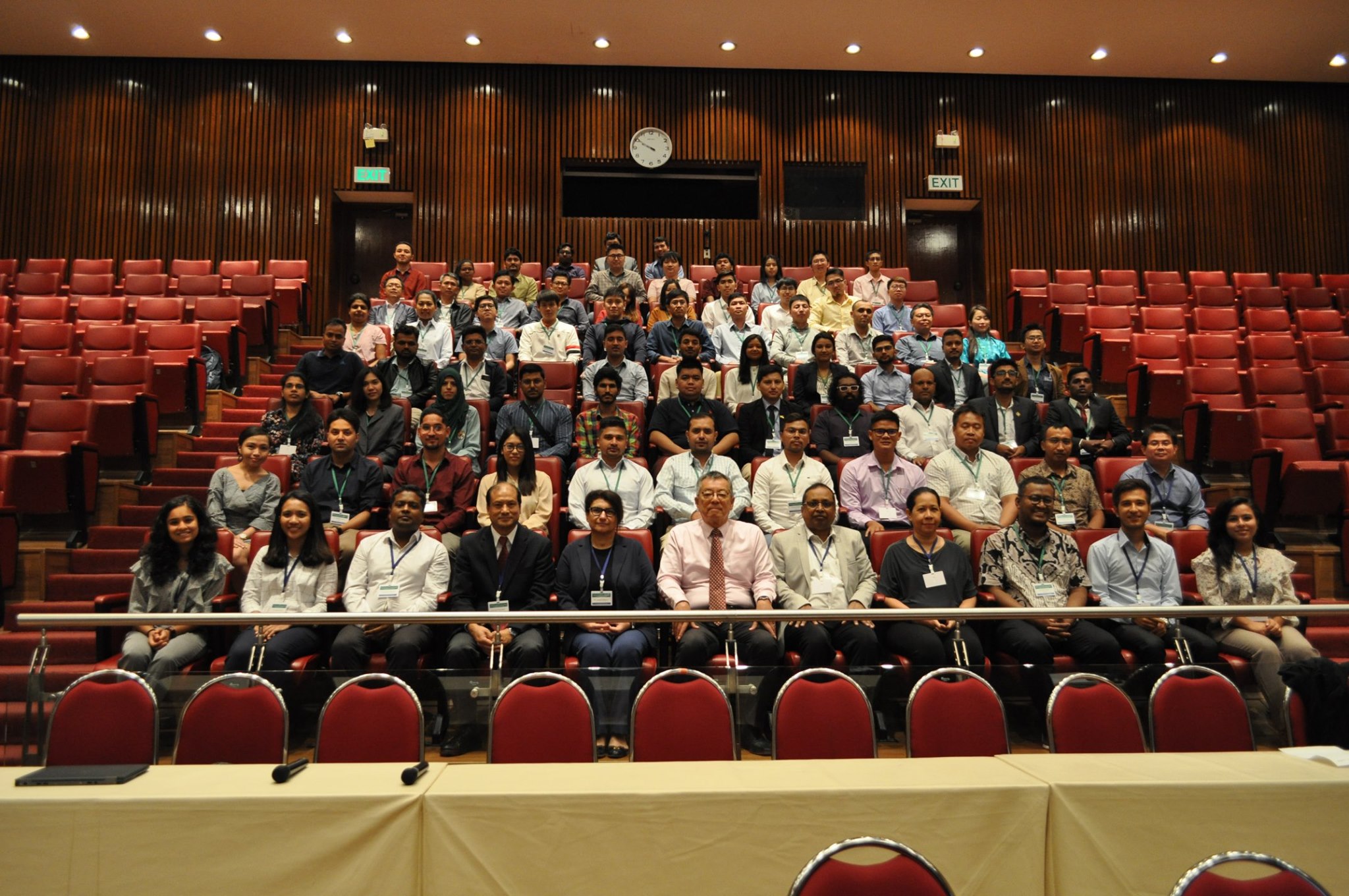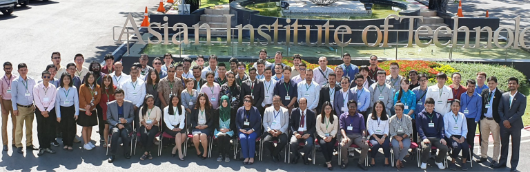
The Geoinformatics Center hosted the 3rd Annual Training on GNSS from January 6-10, 2020 at the AIT Conference Center.
The 5-day training course was jointly organized in collaboration with the University of Tokyo’s Center for Spatial Information Science (CSIS/UT), and the International Committee on Global Navigation Satellite Systems (ICG). Organizers delivered the course with the intention of promoting awareness for GNSS and its applications in the Asia-Pacific region.
GNSS, or Global Navigation Satellite Systems, refers to constellations of satellites which provide signals that aid in positioning, navigation, and timing on a global scale. There are four global systems in place including GPS (USA), GLONASS (Russia), Beidou (China), and Galileo (European Union). There are also two regional systems that can contribute to GNSS solutions within their coverage area, including QZSS (Japan) and IRNSS (India). There are a number of GNSS applications that are commonly used including land and aerial surveying, pedestrian navigation, photography geocoding, precision agriculture, and autonomous driving.
In total 70 professionals and graduate students hailing from the government sector, private sector, NGO’s, and academia took part in the 2020 GNSS training course. 17 countries were represented, including Algeria, Bangladesh, Cambodia, India, Indonesia, Malaysia, Maldives, Mongolia, Myanmar, Nepal, Pakistan, Peru, Philippines, Singapore, Sri Lanka, Thailand, and Vietnam. ICG played a major role in helping participants attend the training course by providing 19 travel scholarships.
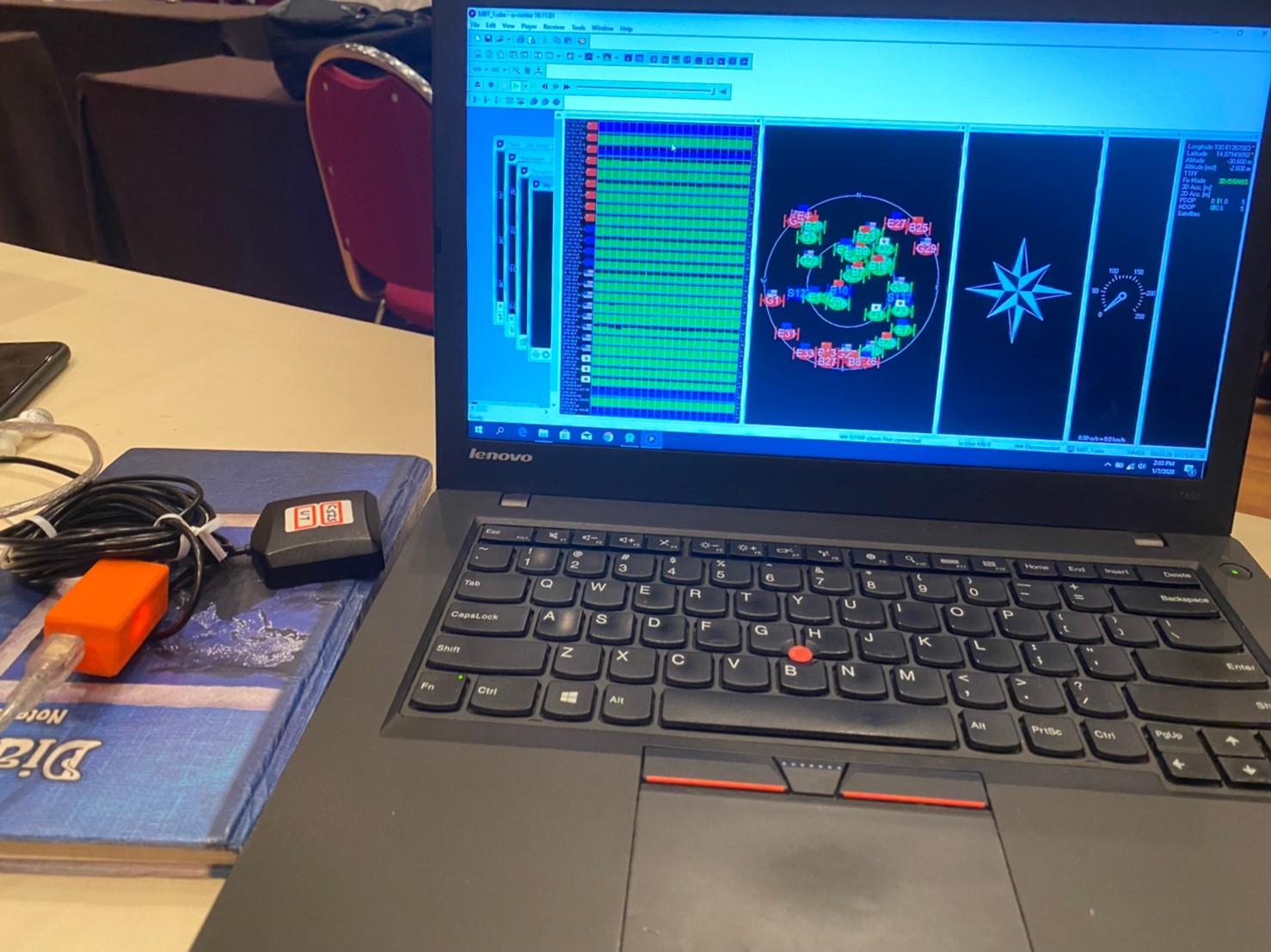
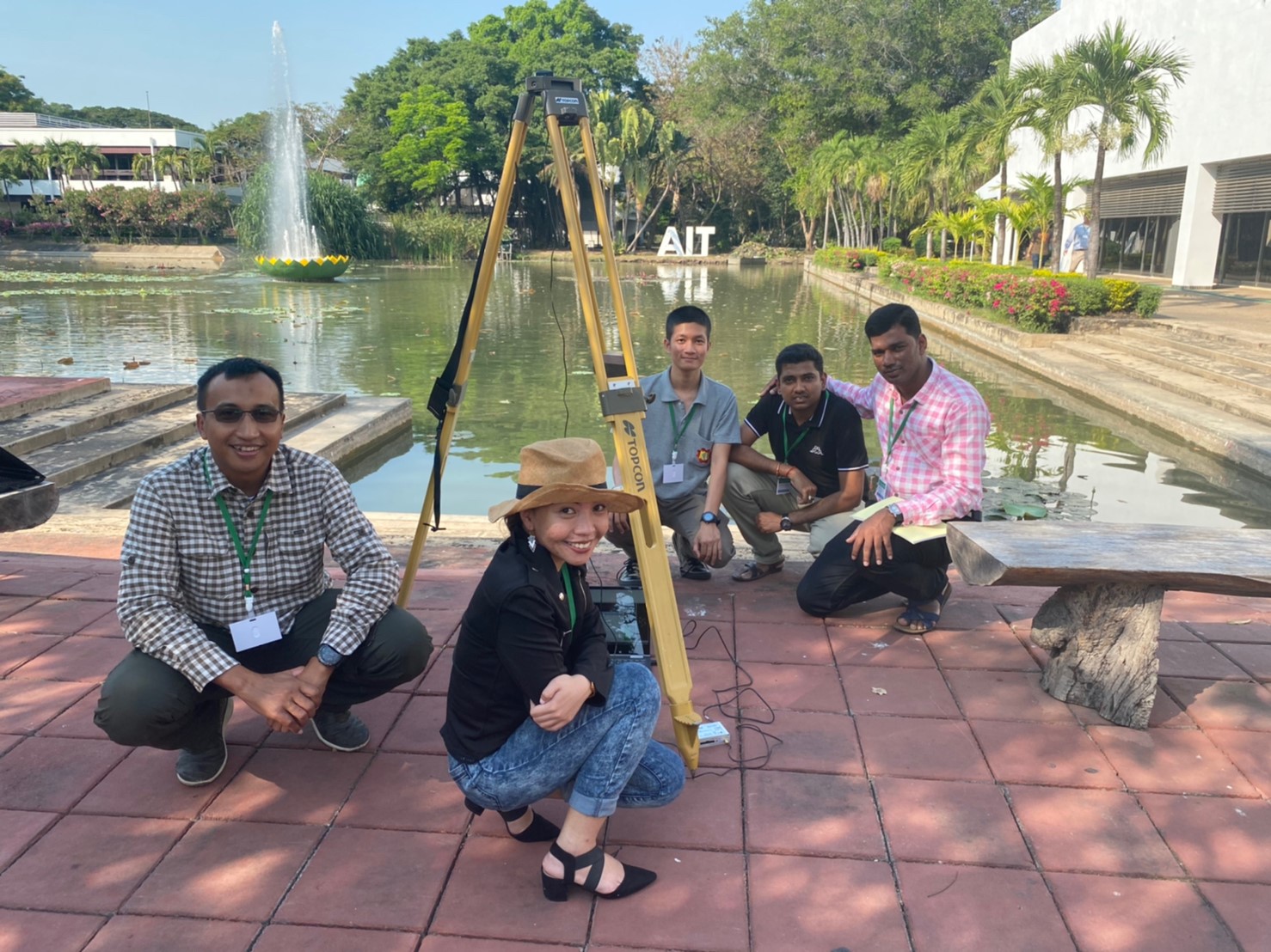
Topics covered during the training course included an Overview of GNSS constellations, RTKLib for GNSS Data Processing, Field Survey Using Low-Cost receivers, Real-Time GNSS data processing, and GNSS Raw Data Processing with Android Devices. Each of the topics featured theoretical lectures and practical sessions presented by trainers from the University Tokyo, including Dr. Dinesh Manandhar, Mr. Kobayashi Kaito and Mr. Yize Zhang.
The GNSS training course was made possible through sponsorship by ICG and Septentrio. ICG was founded in 2005 and operates under the United Nations Office for Outer Space Affairs. ICG focuses on coordination between GNSS data providers and promotes the utilization of GNSS data. Septentrio is a European private industry leader in GNSS established in 2000. The Belgium-based company produces GNSS receivers and antennae, software for GNSS data collection/processing/analysis, and offers a precise point positioning (PPP) service.
If you are or someone you know might be interested in a future GNSS training course ait AIT please stay tuned to the GIC website’s Training Programs page (http://203.159.5.145/training/training-programs/) or follow us on Facebook for updates.