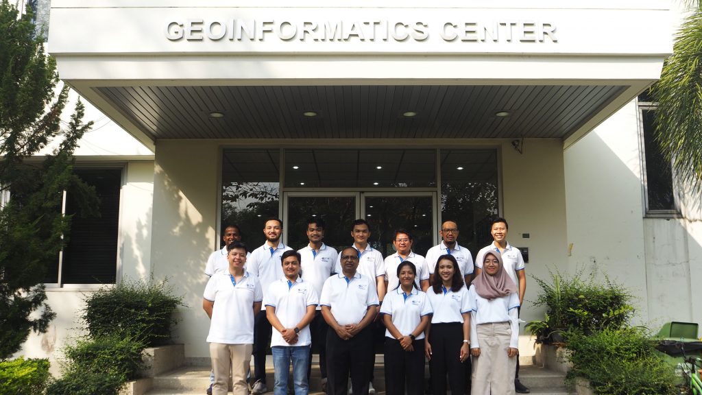
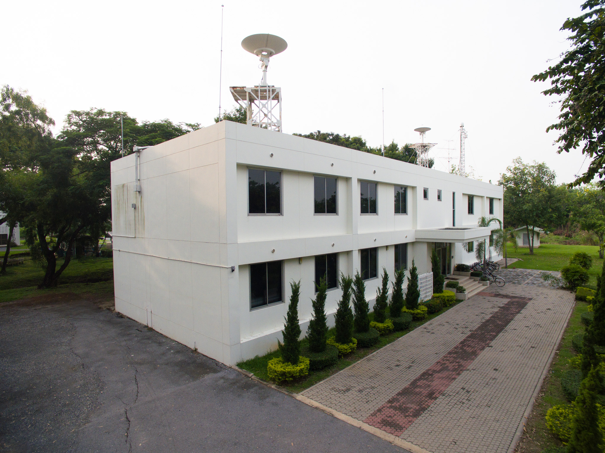
Geoinformatics Center (GIC) is an outreach Center at the Asian Institute of Technology (AIT) that specializes in research and consultancy services and capacity-building activities in the Geoinformatics field (Remote Sensing, GIS, and GPS) and its applications. GIC is located within the Asian Institute of Technology, Pathum Thani campus.
GIC was initially established at the Asian Institute of Technology in 1995 under the name GIS Application Center (GAC). In 1997, AIT collaborated with the Asian Association of Remote Sensing (AARS) to establish its twin, the Asian Center for Research on Remote Sensing (ACRoRS), which is focused on research and consultancy. These two entities worked closely together with synergistic and complementary activities. In 2004, they were merged under the name of the Geoinformatics Center (GIC) at AIT.
Focusing on the geoinformatics field, GIC provides knowledge and know-how to support planning and decision-making for sustainable development by integrating spatial information with other conventional methods and tools. GIC has implemented over 50 projects and 150 training courses in the South, Southeast, and Central Asia countries in various areas such as disaster management, environment monitoring, agriculture monitoring, UAV (Unmanned Aerial Vehicle) application/mapping, etc.
While implementing projects, GIC evaluates the institutional capacity, identifies issues, prioritizes needs, and recommends appropriate technological and institutional solutions. Our experience extends beyond providing innovative science and technological-based solutions, including capacity-building activities. GIC has state-of-the-art training and research facilities, which provide an enabling environment for quality research and training programs. To be truly effective, our capacity-building efforts are conceived and implemented as part of a larger vision and agenda of making the client self-sufficient in terms of knowledge and skill, which will ensure the sustainability of the efforts.