A Revisit on the Structural Flood Mitigation Measure with the Application of Remote Sensing and GIS in Gin River Basin, Sri Lanka
Year: 2010-2011
Country: Sri Lanka
Location within country: Gin river basin
The objectives of this project were: 1) To produce a DEM of the Gin river basin replicating the natural and man-made topographical features, 2) To establish a flood routing model for the Gin River basin, 3) To analyze the flood hazard in Gin river basin.
Descriptions
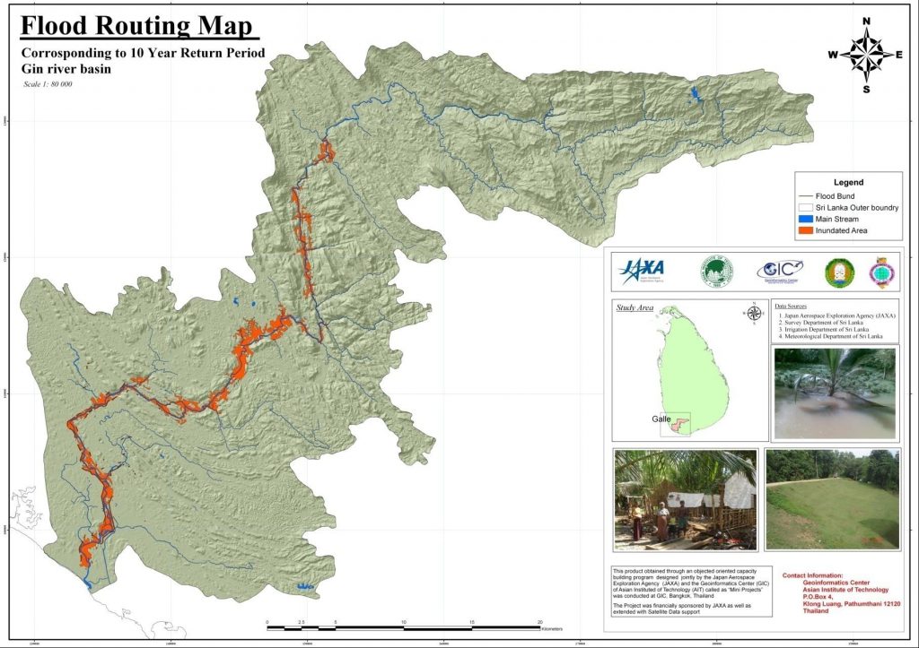
This study was carried out in the lower Gin basin where a structural mitigation measure in the form of flood bunds is already in place. Initially, a DEM of the study basin was created by utilizing the 1:10,000 scale contour data and spot heights derived from aerial photogrammetry. The existing flood bunds were, then, incorporated to the DEM by means of customized tools in the ArcGIS 9.3 environment. The tools are such that to allow the user to modify the height of the flood bunds as would be necessary for scenario modelling with options to select the bunds of interest either by the assigned code or drawing a polygon. The one dimensional steady flow module of Hydrologic Engineering Center’s River Analysis System (HEC-RAS) was, subsequently, utilized for establishing the flood routing model. The requisite Geo-spatial modeling of the floodplain was carried out by implementing Hydrologic Engineering Center’s Geo River Analysis (HEC-GeoRAS) module in the ArcGIS 9.3 environment and using the DEM with the as-built flood bunds. The landuse map of the study was used for necessary hydraulic characterization of the study area. The 2003 flood event was chosen for model calibration as detail records were available. Having successfully calibrated the model with acceptable correspondence between model results and field records, flood routing maps of lower Gin area corresponding to 10, 20 and 50 year return period events were produced; a frequency analysis had been carried out for the purpose. According to the frequency analysis, the 2003 extreme flooding event turned out to be an event corresponding to a 124 year return period. ALOS/PALSAR derived remote sensing data was also utilized successfully to make a situation analysis of the flooding event of year 2008.

