
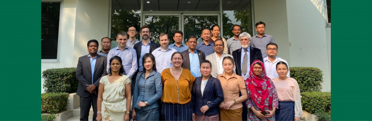
Six experts from Lao PDR’s Department of Agricultural Land Management (DALAM) attended a three-day training of trainers in Agroecological Zonation (AEZ) from Febraury 5 – 7, 2020 at the Geoinformatics Center. Additional participants from Sri Lanka, Bangladesh, and Cambodia also participated in the training program.
Trainers from GIC were joined by Dr. Freddy Nachtergaele, a world-renowned expert on AEZ. Dr. Nachtergaele previously worked with FAO to create AEZ modeling software dating back to the 1980’s. In the last few months GIC has been collaborating with Dr. Nachtergaele to integrate his AEZ modeling software into Python scripting language for ease of use with modern systems.
The objective of the training course is to imbue participants with the skills necessary to create agriculture maps with the AEZ modeling software using national data from their home countries. The software is capable of producing maps depicting spatial distribution of crops, crop suitability maps, as well as potential crop growth forecasts.
The training program is part of an ongoing FAO project called Strengthening Agro-climatic Monitoring and Information Systems (SAMIS). SAMIS is being implemented in Lao PDR to prepare the country for shifts in agriculture due to climate change. The previous project phase focused on applications of remote sensing and GIS for agriculture. The current phase uses AEZ modeling to produce maps necessary to assist the Ministry of Agriculture in future agricultural planning. The first task for the DALAM experts in the current phase will be to use AEZ modeling software to map production of six major crops at the national level.