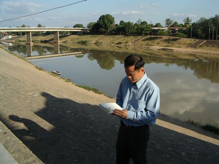
Flood Hazard Mapping in Nan Town in the Nan River Basin
Descriptions
The objectives of the project were 1) to simulate 2006 flood event Nan province using HEC-RAS model, 2) to verify the model output by comparing the flood extent and flood depth collected in the field and 3) to prepare flood hazard maps of Nan province for 10, 20, and 50 year return period.
A one dimensional flood model called HEC-RAS was used in this study Necessary Geo-spatial modeling of the floodplain was carried out by implementing HEC-RAS Geo River Analysis (HEC-GeoRAS) module. Land use map was prepared by using ALOS/AVNIR-2 satellite data for hydraulic characterization of the study area. Field data and records available for the 2006 flood event were used for the model calibration. Flood hazard maps of Nan municipality area corresponding to 10, 20 and 50 year return period were produced with corresponding flood extents of 32.8, 36.8, and 40.4 km2 respectively in the Nan town. The project helped the Royal Irrigation Department of Thailand in integrating a flood model along with the remote sensing and GIS data and building in-house capacity in the department, in addition to taking flood risk mitigation measures in the Nan town.

