Applications of RS for Topographical Mapping
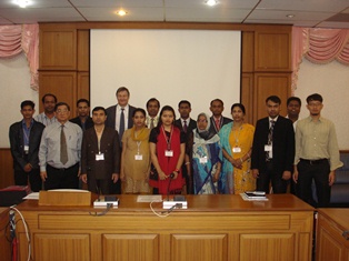
GIC in collaboration with PASCO/ FINNMAP organized a four week training program on “Applications of Remote Sensing for Topographical Mapping” . The program was held at Srinakharinwirot University, Bangkok.
The training was carried out from 06th February to 02nd March 2012. The participating organization was the Survey of Bangladesh. During the first week; GIC arranged series of lectures and hands-on sessions to provide a sound understanding on RS/GIS technologies. Later PASCO/FINNMAP and trimble resource persons conducted further training on inpho software.

