Training on Flood Hazard and Risk Assessment using Satellite Image Analysis and Remote Sensing Techniques
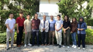
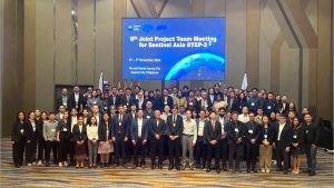
Overview A two-week long training program was conducted from December 2-13th 2024 at the Geoinformatics Center, AIT where participants from the National Center for Hydrology and Meteorology (NCHM) were introduced with various earth observation data to support disaster risk mappings triggered Read More


