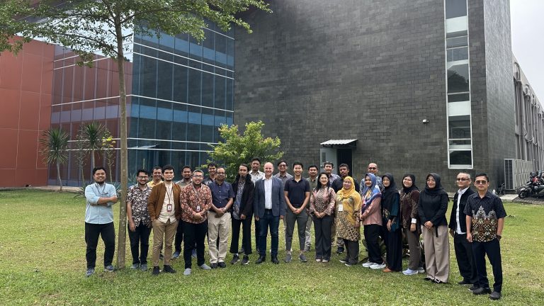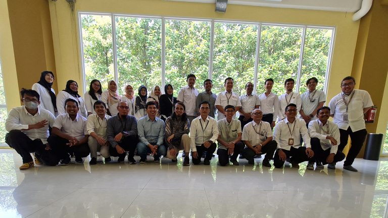
Workshop Overview
Satellite earth observation technologies have emerged as powerful tools in addressing the challenges posed by natural disasters. With its synoptic coverage and frequent acquisition time, remote sensing has become an important source of data in a wide range of sectors like disaster management, crop monitoring and yield assessment, aquaculture monitoring etc.
The interferometric synthetic aperture radar (InSAR) data can detect and monitor ground deformations, which is useful for early warning and post-disaster assessments. Several tools are available on InSAR for detecting and monitoring ground deformations and these tools were introduced to the participants during the training.
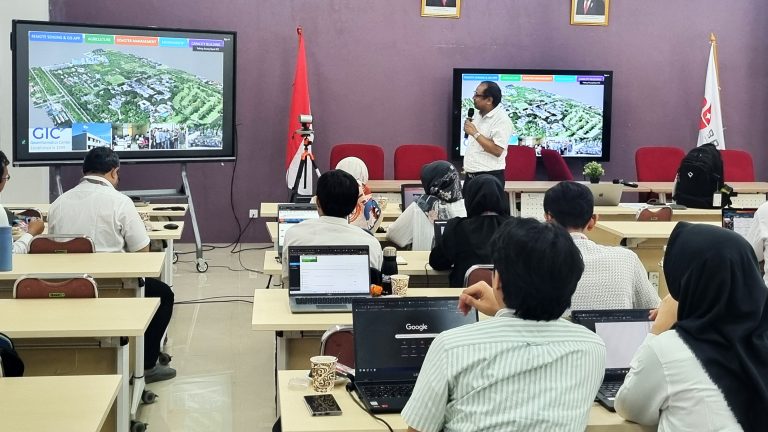
Optical satellite data are useful for monitoring agriculture and aquaculture. A platform called “Cloud-based Satellite Earth Observation Service (Cloud SEOS)” has been developed to support decision-making in these two sectors. The Cloud SEOS can assess Vegetation Indices, Climate Indices, Potential Evapotranspiration, and Crop Mapping, including the location of crops and their types.
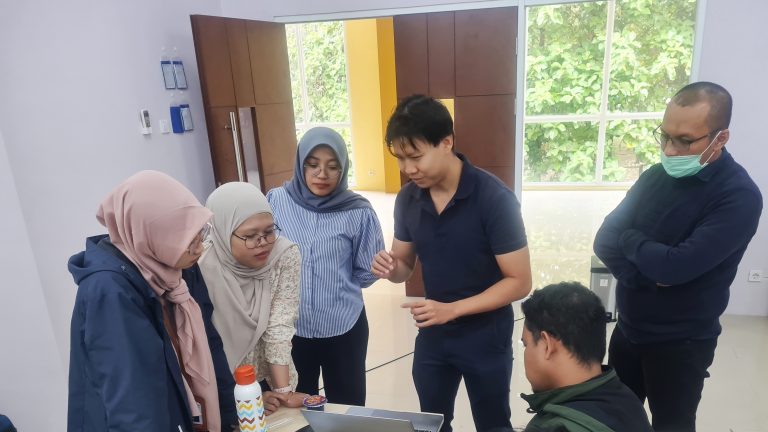
Swun, (Research Associate at GIC-AIT), briefly introduced the features of Cloud SEOS services and gave hand-on training to the participants. The workshop helped the participants to become familiar with earth observation data, focusing particularly on the European Union’s Copernicus constellation. They learned to use various data processing tools for InSAR and produced land displacement products using techniques such as Parallel Small Baseline Subset (P-SBAS) and Persistent Scatterer Interferometry (PSI). Additionally, they acquired skills in using the Cloud SEOS platform, processing earth observation data through its crop processing services, and visualizing or downloading the resulting products.
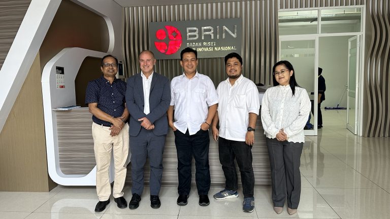
Potential Collaborations
Dr. Manzul Kumar Hazarika visited the National Research and Innovation Agency (BRIN) in Indonesia on 31st July and met with Dr. Md. Rokhis Khomarudin, Head of the Research Center for Geoinformatics. They explored potential collaborations on the use of earth observation data for agriculture and disaster management in Indonesia, as well as within the Sentinel Asia program. Dr. Paolo Manunta of ADB also attended the meeting, where he highlighted ongoing collaborations between ADB and AIT to advance the application of earth observation data across various ADB initiatives.