
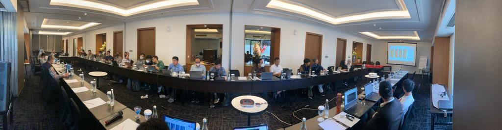
A training on Remote Sensing and Geospatial Technology for Reconstruction Monitoring has been successfully conducted in Jakarta, Indonesia on 24 – 25 May 2023 (first part) and 12 June 2023 (second part). The training program was the final and last activities under the capacity building program of Support for Emergency Assistance on Rehabilitation and Reconstruction (EARR) project in Central Sulawesi, sponsored by the Asian Development Bank (ADB) and the Japan Fund for Poverty Reduction (JFPR). The project aims to provide satellite-based information, both from optical and radar sensor, on reconstruction for buildings and critical infrastructure, ground movements, and others relevant information needed to support the reconstruction monitoring after the 2018 Central Sulawesi earthquake.
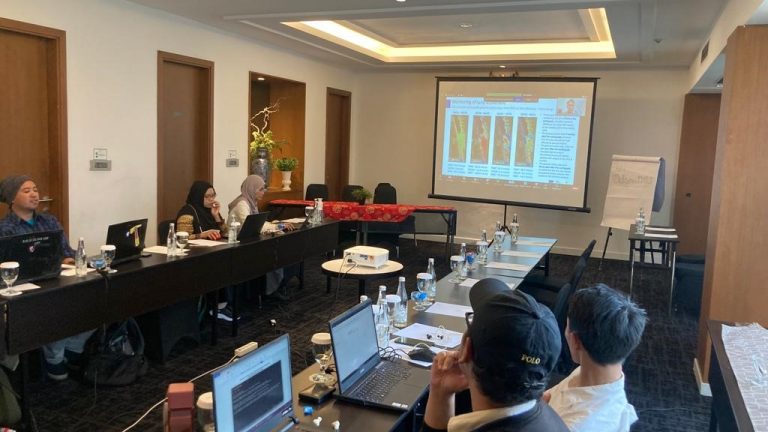
The Geoinformatics Center of Asian Institute of Technology (GIC-AIT) in collaboration with resource person from the Ministry of Public Works (PUPR), the National Research and Innovation Agency (BRIN), Geological Department, and Diponegoro University (UNDIP) delivered hybrid training sessions to Indonesian government officials from the PUPR, the Ministry of National Development Planning (BAPPENAS), the Geospatial Information Agency (BIG), the Meteorological, Climatological, and Geophysics Agency (BMKG), and the National Agency for Disaster Countermeasure (BNPB).
The first part of the training discussed the role of Remote Sensing, GIS, and GNSS technology for disaster management in Indonesia. The final outcomes of the project specific to reconstruction monitoring in Central Sulawesi were also presented and discussed here. During the training, the participants have opportunities to have hands-on experiences to process multi-temporal Interferometric Synthetic Aperture Radar (SAR) data using Geohazard Exploitation Platform (GEP) to calculate millimetric scale movements in the ground from the space. In addition to this, the participants also had practical exercises on flood detection and land use/land cover change using Google Earth Engine (GEE).
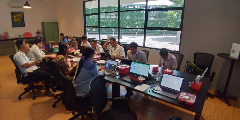
Meanwhile, the second part of the training focuses on Geoportal management for officials from PUPR. The Geoportal was developed in this project as a user-friendly and interactive visualization platform for efficient and up-to-date information on ground movement, reconstruction of buildings and other infrastructures in Central Sulawesi. The training covered various aspects of Geoportal management, including data management and customization, container management using Docker, portal security and task automation.