Introduction to Mapping with UAVs

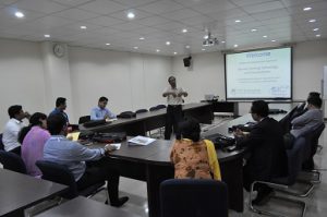
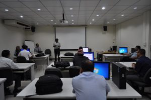
Introduction to Mapping with UAVs The Geoinformatics Center of the Asian Institute of Technology offered a free hands-on introductory workshop on using UAV for mapping for AIT students. This program was held from 30-31 January 2017 at the Geoinformatics Read More

Training on Remote Sensing Technology and Interpretation

Training on Remote Sensing Technology and Interpretation Geoinformatics Center (GIC) of Asian Institute of Technology and AIT Extension jointly organized a Professional Development Training Program on Remote Sensing Technology and Interpretation from 16th to 22nd January 2017. The program Read More

Training on Open Source WebGIS and ArcGIS Server

Training on Open Source WebGIS and ArcGIS Server A Professional Development Training Program on Open Source WebGIS and ArcGIS Server was organized by the Geoinformatics Center (GIC) of Asian Institute of Technology and AIT Extension from 12th to 18th Read More