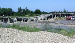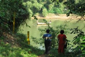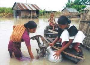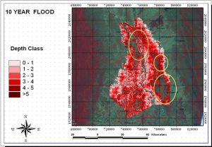
Flood Hazard Mapping in Seiktha and Zalun Area in Ayeyarwady River
Flood Hazard Mapping in Seiktha and Zalun Area in Ayeyarwady River Year: 2007-2008Country: MyanmarLocation within country: Ayeyarwady river basin Descriptions The objective of the project was to prepare a flood hazard maps of different return periods in Ayeyarwady River. Read More