
Area : Cambodia
Client : JAXA
Start Year : April 2008
End Year : March 2009
Partners : –
Development of a GIS database for Flood Management and Establishment of a Flood Model for Kratie Province and Kompongcham area in Cambodia
The objectives of the project were: 1) To develop a GIS database for efficient flood management by updating existing layers from ALOS data, 2) To conduct flood simulation using the HEC-RAS model, 3) To carry out flood vulnerability assessment in Kratie Province, 4) To prepare DEM from ALOS/PRISM data.
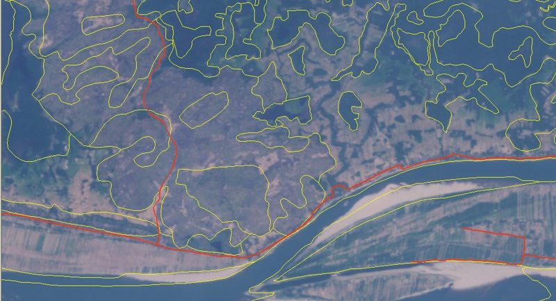
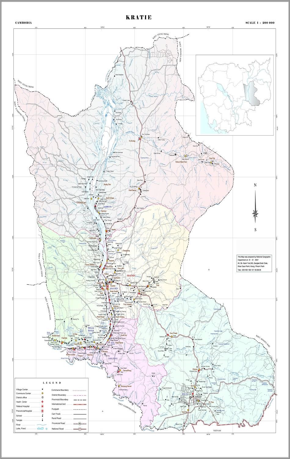
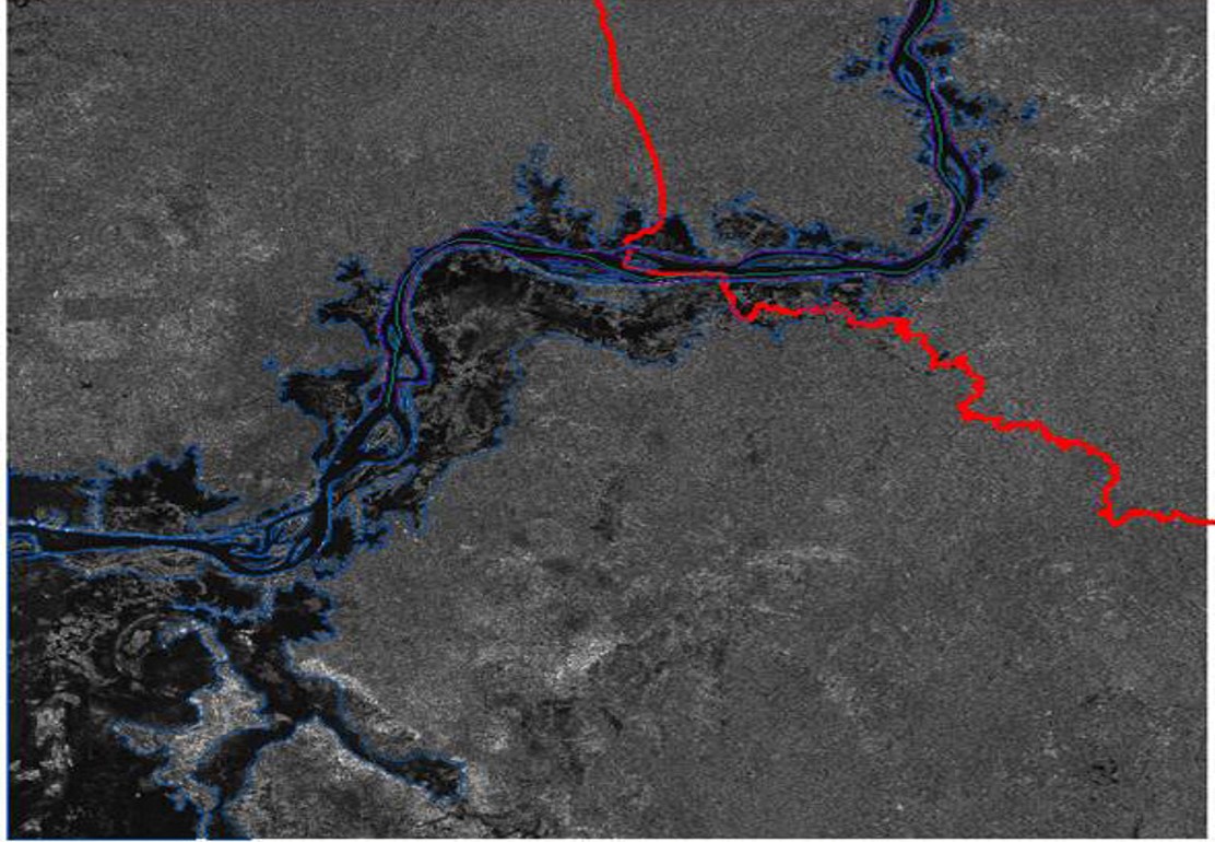
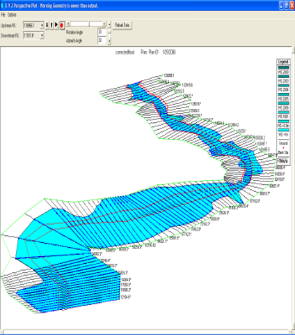
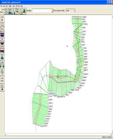
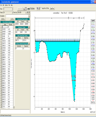
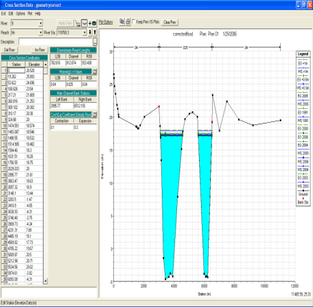
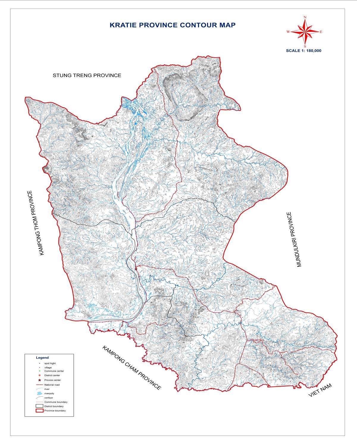
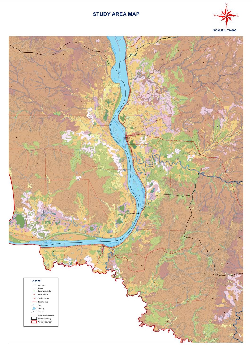
The study area, Kratie is one of five districts in northeastern Cambodia that had experienced an extreme flood event in 2000, killed more than 800 people and resulted in economic damage assessed of more than US$400 million (ADB). A GIS database development and flood simulation has been conducted in this study area. Pan-sharpened images of ALOS AVNIR-2 and PRISM and orthophotos were used to update existing landuse, road, river, and houses. Triangulated Irregular Network (TIN) was generated from 10m interval contour and spot heights. It was further enhanced by using the heights extracted from orthophotos along the banks of the Mekong River (140 km). Attempts were also made to use ALOS/PRISM images for generating the Digital Elevation Model (DEM), however, accuracy was not good enough to use it for flood study. Flood extent and flood depth were achieved by simulating the one dimensional steady flow module of HEC-RAS and HEC-GeoRAS models in Arc-View environment. Measured river cross sections were available only at the upstream (Kratie) and downstream (Kampong Cham). A gradual slope was maintained for generating the 27 cross sections along the river. Updated landuse classes were utilized in assigning the manning’s roughness values to the model. Model result of year 2000 flood and flood extent derived from SAR images were compared and used for model calibration. The peak discharge at the Kratie gauge station from 1960 to 2000 were used for the flood frequency analysis while available water level data for the same period was used to estimate the river discharge. Flood extent of year 2000 from HEC-RAS model showed that 41 schools, 44 pagodas, 30 villages, 94,213 hectares of agricultural land, 480 km of major and minor roads, and 227,562 people were affected.