Drone Survey for Plastic Waste Detection in Canals
Overview
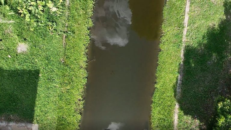
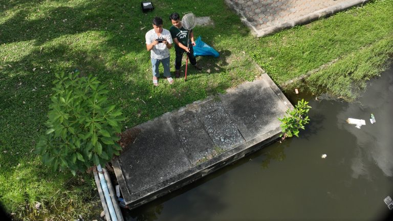
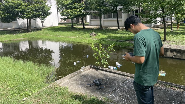
The Geoinformatics Center team (Mr. Thanaphol Boodchuang and Mr. Pongpol Wipasuramonton) conducted a drone flight to capture high-resolution videos for data collection at a canal situated within the Asian Institute of Technology on 20 August 2025. The purpose of this survey was to generate plastic waste video footage for testing the pLitter Aerial model. The pLitter Aerial model is based on AI detection of floating plastic waste from drone videos and classifies it into various types, similar to the pLitter CCTV system.
High-resolution drone videos were successfully captured along the canal at AIT, with flights conducted at altitudes ranging from 5 to 10 meters. The AI model exhibited strong performance in detecting plastic waste, particularly from footage taken at a 5-meter altitude. Additionally, the model enabled accurate automatic counting of plastic waste, demonstrating its effectiveness in real-world environmental monitoring applications.
This activity is part of our ongoing partnership with the Economic Research Institute for ASEAN and East Asia (ERIA) under the DECIDE Project, which was launched in July 2025. The video footage will be used to update and train the pLitter Aerial technology, which will be demonstrated during the upcoming workshop in Indonesia.