This Advance Training program under the project “Assessment of Natural Resources, Land Degradation, Biodiversity and Climate Change Impacts Using Geospatial Technologies and Building Capacities (GCP/AFG/102/GFF)” is aimed at enhancing the capacities of the participants in the assessment of natural resources, land degradation, biodiversity, and climate change impacts in Afghanistan by using modern geospatial data and tools.
The key components of the program will review the concepts introduced in earlier online training courses and impart technical skills in remote sensing-based land cover change analysis, vegetation degradation analysis, and biodiversity assessment, especially in Afghanistan. All practical exercises will be carried out using the freely available geospatial tools, such as QGIS and Google Earth Engine (GEE) platform, employing Python programming language for analysis.
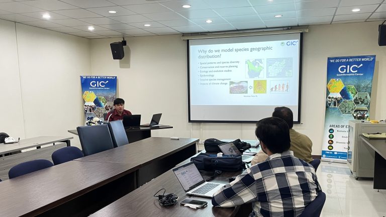
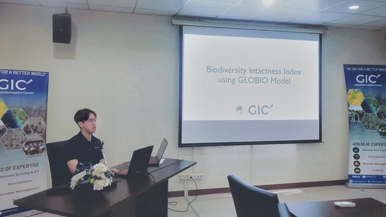
Day 1: GIC team provided training session on the GLOBIO-based Biodiversity Intactness Index (BII), a practical session on using MAXENT software to model the crop species’ distribution and suitability. Capping off the day with the identification of biodiversity hotspot and how to visualize the data.
Day 2: GIC team guided the participants on how to work with satellite-derived flood-related data products on Google Earth Engine. The afternoon session involved discussion and feedback on the making of Afghanistan Biodiversity Atlas book, which GIC-AIT together with FAO Afghanistan will publish at the end of the project.
Day 3-5: Participants have field visits to agricultural-related sites/company, from Vassana Melong Farm in Saraburi Province to Kubota Smart Farm in Chonburi Province.
The training will ensure a deeper understanding of the subject matter and hands-on skills among the participants so that all the knowledge and information generated through the project can be transferred to them, along with the necessary skills to continue the efforts beyond the project period in a sustainable manner.