Overview
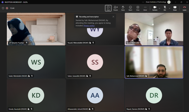
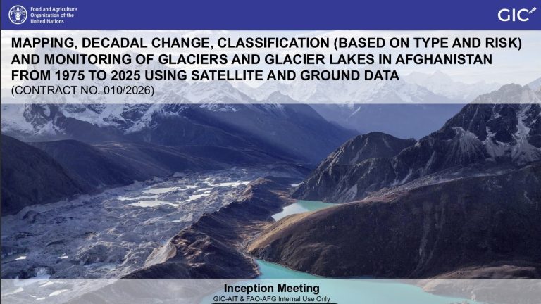
The Inception Meeting for the project “Mapping, Decadal Change, Classification (Based on Type and Risk), and Monitoring of Glaciers and Glacier Lakes in Afghanistan (1975–2025) Using Satellite and Ground Data” was held between the Geoinformatics Center (GIC) of AIT and FAO Afghanistan on 9 March 2026 via online mode.
The meeting formally initiated the six-month project and presented the overall project framework, including objectives, methodology, datasets, analytical workflow, and expected outputs. The study aims to develop a comprehensive inventory of glaciers and glacial lakes across Afghanistan and analyze their decadal changes from 1975 to 2025 using multi-source satellite data and terrain analysis.
Key project components discussed during the meeting included glacier mapping and change detection, glacial lake inventory and classification, glacier lake outburst flood (GLOF) risk assessment, and the development of strategies to support early warning systems and risk reduction. The meeting also served as a platform for technical discussions with FAO experts to refine the methodological approach and ensure alignment with national priorities for climate adaptation, water resources, and disaster risk management. Several technical and operational recommendations were agreed upon during the meeting
The GIC-AIT team was represented by Dr. Manzul K. Hazarika, Director of GIC, Dr. Kittiphon Boonma, Research Specialist, Mr. Syams Nashrrullah, Mr. Swun Wunna Htet, Senior Research Associate, Ms. Salsabila Prasetya, and Mr. Thanaphol Boodchuang, Research Associates. The inception meeting was attended by a total of 15 delegates from GIC and FAO Afghanistan team.