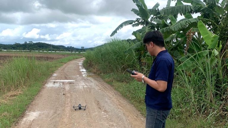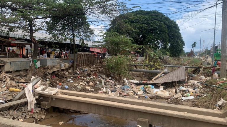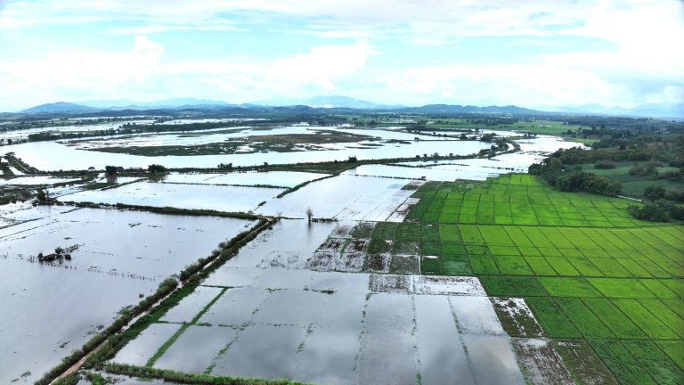
The GIC team conducted a field survey from September 24-25, 2024, in Chiang Rai province, Thailand, to validate flood analysis results derived from satellite imagery. This validation aimed to ensure the accuracy and reliability of data for effective decision-making, reinforcing Sentinel Asia’s role as a trusted source for disaster-related information.
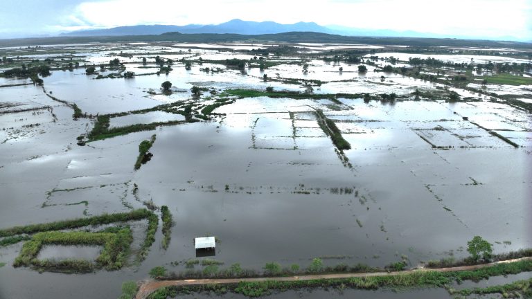
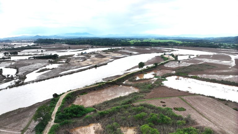
On-site surveys were carried out at specific flood-affected locations to assess the physical damage to infrastructure, buildings, roads, and agricultural areas. Additionally, drone flights captured aerial imagery, which was used to create videos and maps of the impacted regions.
The primary outcomes of this survey included the identification of field survey points and production of drone imagery which validated the accuracy of satellite-based flood analysis. This process enhances confidence in Sentinel Asia’s data for flood management. Secondary outcomes included validation maps that overlay Sentinel Asia’s data with the survey findings, facilitating a comparison between remote sensing and field data.
