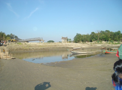
Flood Forecasting Improvement using Remote Sensing, GIS and Flood Modelling: A Case Study at Daulatpur in Manikganj District
Descriptions
The objectives of this project were: 1) To fine tune the CFAB forecast of the Brahmaputra discharge by establishing a correlation with observed one, 2) To develop a Digital Elevation Model uses ALOS/PRISM data, 3) To prepare the flood map and validate with satellite data.
The study area, Daulatpur in Manikganj district is highly vulnerable to flood as well as river bank erosion due to the migratory behavior of the Brahmaputra River and its tributaries. The Flood Forecasting and Warning Center (FFWC) used a well-calibrated and validated 1-dimensional hydrodynamic model (MIKE-11) for forecasting water level at various monitoring stations all over the country, however, the flood maps generated by the FFWC depend on a very coarse DEM (300m grid size). Therefore, an attempt was made to develop a refined DEM using satellite data. Both SRTM and ALOS/PRISM data were used to generate a DEM. An inundation map was prepared using the DEM derived from the SRTM data. A good quality DEM could not be generated from ALOS data due to a high percentage of cloud cover. The flood inundation maps were derived using the MIKE-11 hydrological model for 10 and 30 years return period and ALOS/AVNIR-2 data was effectively used to update and validate the landuse/landcover as an input into the model.

