Overview
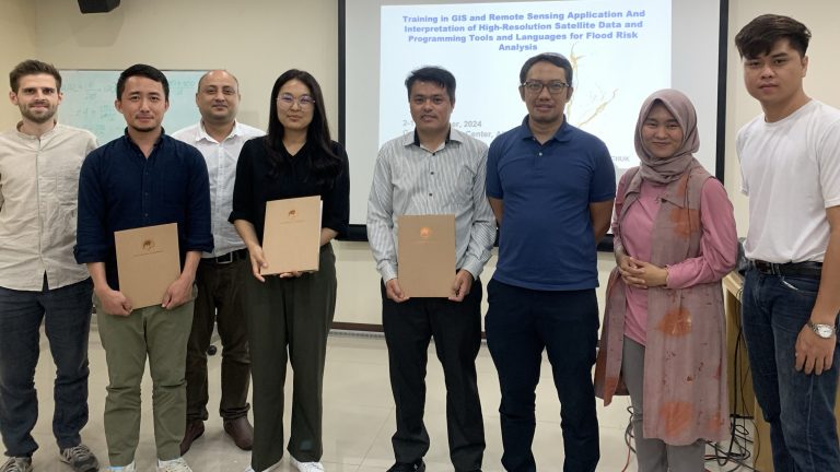
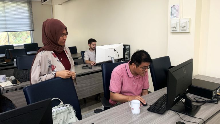
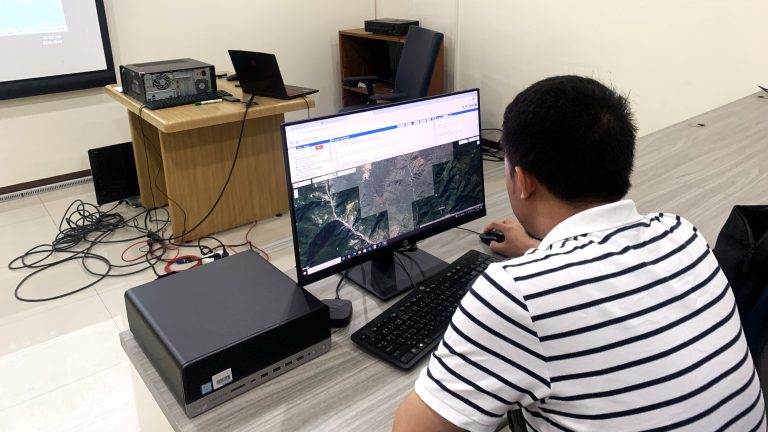
A two-week long training program was conducted from December 2-13th 2024 at the Geoinformatics Center, AIT where participants from the National Center for Hydrology and Meteorology (NCHM) were introduced with various earth observation data to support disaster risk mappings triggered by flood / GLOF. All practical exercises were carried out using the freely available geospatial processing tools, such as Quantum GIS (QGIS), Sentinel Application Platform (SNAP), Google Earth Engine, CaMaFlood, and RiskChanges.
This training was aimed to equip the participants with practical skills in GLOF/flood hazard and risk assessment using earth observation technologies and geospatial analysis tools. Covering fundamental concepts of hazard and risk assessment, the course delves into remote sensing techniques utilizing optical and Synthetic Aperture Radar (SAR) satellite imagery, advanced hydrological modeling, and GIS applications using free and open-source software. The training will contribute to more effective disaster preparedness and emergency response and ultimately enhance the community’s resilience in Bhutan.
Highlights
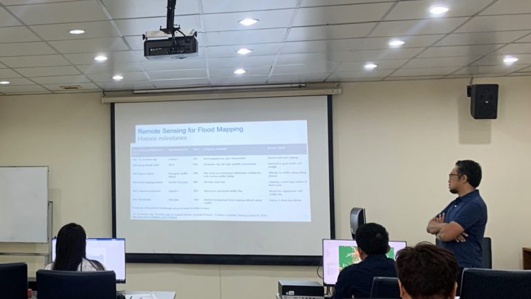
Day 1: Mr. Syams started the training with an introduction to remote sensing for flood risk followed by a practical session on obtaining and handling flood hazard and risk data using QGIS
Day 2: Mr. Syams delivered lecture on introduction to flood detection and mapping using remote sensing data. The training was continued by practical on processing and analyzing optical and SAR data for flood mapping, assisted by Mr. Thanaphol.
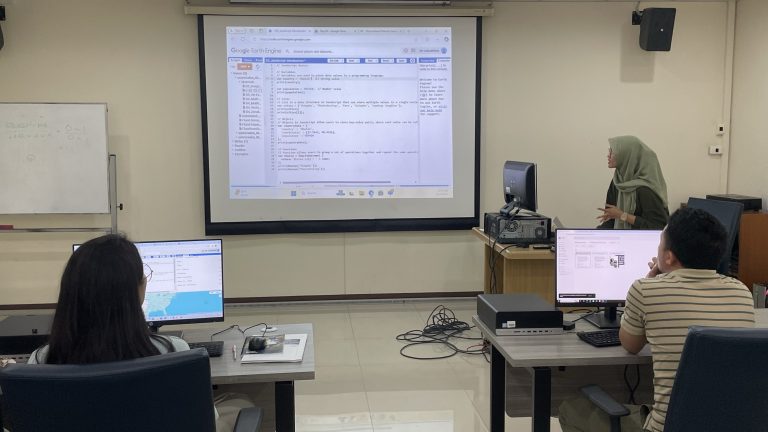
Day 3: Google Earth Engine was introduced by Mr. Thanaphol followed by a hands-on session by Ms. Salsabila. The practical consisted of introduction with Earth Engine interface and JavaScript, then simple image processing, visualization, and exporting in Earth Engine.
Day 4: This day was dedicated to Earth Engine practical, delivered by Ms. Salsabila. This session includes mathematical operations on images, handling vector data in Earth Engine, continued with multi-temporal flood mapping and zonal statistic process for flood exposure analysis.
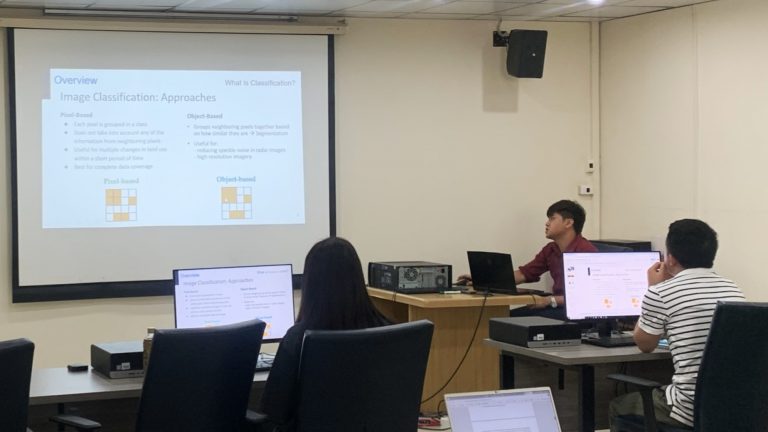
Day 5: Mr. Thanaphol presented lecture on image classification including supervised and unsupervised methods, followed by accuracy assessment. The training was started by a lecture, continued with practical for classification using Earth Engine.
Day 6: The flood risk assessment concept was introduced by Ms. Salsabila. The session continued with a lecture on flood forecasting applications and hydrological modelling using CaMaFlood followed by practical for installation and configuration of CaMaFlood by Mr. Dwijendra.
Day 7: This day focused on hydrological modelling by Mr. Dwijendra. The materials covered pre-processing data requirements, data visualization and sanity check, model configuration and running the simulations. The session ended with output processing and interpretation of the results.
Day 8: A lecture on risk assessment introduction using RiskChanges was presented by Ms. Salsabila. The session was then followed by a practical in using RiskChanges. The practical was presented in turn with Mr. Syams.
Day 9 and Day 10 were designed for the group project. In Day 10, the participants presented their work on various topics followed by a wrap-up and discussion session.
The participants learnt how to utilize open-source tools for obtaining, analyzing, processing geospatial data and satellite images for flood risk assessment and monitoring.
