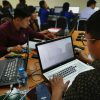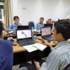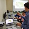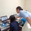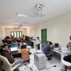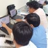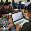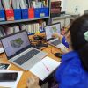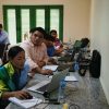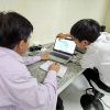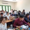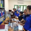
GIC is working with FAO-Lao to provide the knowledge necessary for in-country agro-climatic monitoring
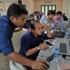
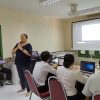
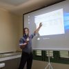
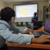
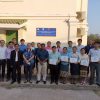
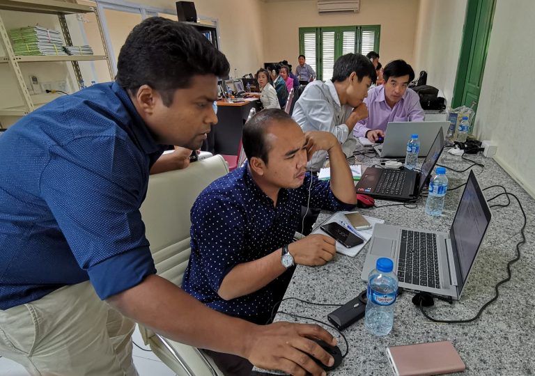
The GeoInformatics Center is spending the first eight months of 2019 facilitating a series of training courses to support a project by the Food and Agricultural Organization of the United Nations (FAO) titled Strengthening agro-climatic monitoring and information systems (SAMIS) to improve adaptation to climate change and food security in Lao PDR.
Government officials from the Laos PDR’s Department of Meteorology & Hydrology and the Department of Agricultural Land Management are participating in the training courses to improve their departmental geospatial data processing capacities. The SAMIS project aims to shift away from relying on outside consultants to perform agricultural data processing and analysis, instead putting data processing and analysis tasks in the hands of local staff.
This capacity building venture began on January 28, 2019 and will continue through August 2019. Training course topics include:
- Fundamental GIS Analysis
- Python and R programing for Geoprocessing
- Spatial Analyst and Geospatial databases in ArcGIS
- Land Suitability Assessment, Forest Mapping and Biomass Estimation
- Crop Area Mapping and Production Modelling using Satellite Data
- Advanced use of ArcGIS – Network analysis and 3D analysis
The SAMIS project is currently in its first phase which places a focus on agroclimatic monitoring and analysis. This phase will establish a network of 15 agrometeorlogical stations, develop data sharing protocol between centers, identify data standards, and provide training to key staff. Upcoming phases of the project will deal with utilizing natural resource data and national agro-ecological zones to identify at-risk areas, as well as knowledge dissemination.
SAMIS has been made possible with funding from the Global Environment Facility (GEF), as well as support from contributors Lao Ministry of Agriculture and Forestry and Lao Ministry of Natural Resources and Environment.

