Hydrograph Simulation and Flood Mapping in Citarum Watershed
Descriptions
This project was carried out to study the efficiency of two Hydrological models IFAS, developed by the Public Work Research Institute, Japan and the existing GR4J, developed by the CEMAGREF, France in the upper Citarum basin.
Globally available data like elevation from GTOPO 30 with spatial resolution 30 sec, landcover from Global Map with 30 sec resolution and rainfall data from 9 ground-based stations were used for the initial simulation of the IFAS for the year 2005.
The model was fine-tuned using the observed discharge from the same year. Validation of results was done using the discharge data from the year 2007. Output from IFAS was used for delineate flood affected areas at the lower part of the basin using the HEC-RAS model. The topography for the model was built by using ASTER DEM and the bathymetry surveyed at 3 cross sections in the Citarum river. Contour derived from 1:25,000 maps and spot heights were also used for creating a fine Digital Elevation Model (DEM). The output of the model was verified (in extent) by overlaying it with the existing flood map for the year of 2007 in the study area.
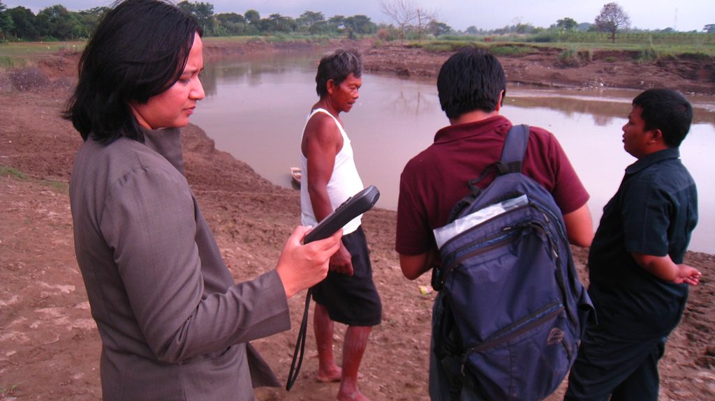
AIT had provided technical and logistic support for successful implementation of the project. AIT experts were working closely with two national agencies of Indonesia, namely, Jasa Tirta II Public Corporation and Indonesian Agroclimate and Hydrology Research Institute. Professionals from both the agencies were trained in hydrologic and hydraulic modeling for creating flood maps. They were also trained in satellite data processing for landuse/landcover classification and delineation of flooded areas during flood events. AIT also conducted a field survey jointly with the national agencies for collecting the ground-truths and verifying the classified landuse/landcover and flood maps.

