Overview
Multi-hazards pose significant risks to communities and critical infrastructures. The interaction of multi-hazards results in compounding consequences that can exhaust the capacities and functions of the local governments. Unplanned urbanization, population growth, and climate change are further limiting the resources and capacities of the governing bodies. To manage and reduce the residual, current, and future multi-hazard risks followed by resilient development, the local governments require robust risk-informed spatial planning, considering the prevalent hazards, land use, elements-at-risk, and its associated vulnerabilities.
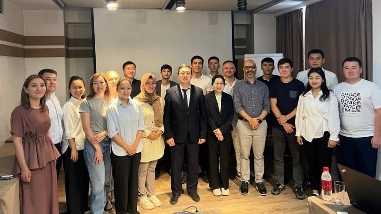
To strengthen the capacities of government officials responsible for disaster risk management, the Asian and Pacific Training Centre for Information and Communication Technology for Development (APCICT), in partnership with the United Nations Office for Outer Space Affairs (UNOOSA) – United Nations Platform for Space-based Information for Disaster Management and Emergency Response (UN-SPIDER), conducted a training program from 15 to 16 May 2025. This initiative was carried out in collaboration with the Ministry of Emergency Situations of Kyrgyzstan, the Geoinformatics Center (GIC), and ITC-University of Twente, bringing together key stakeholders to enhance knowledge and skills in utilizing space-based information for disaster preparedness and response.
Workshop Highlights
Day 1: Participants were introduced to satellite remote sensing and the recent trends in space technologies related to multi-hazard risk assessment by Ms Suju Li. Followed by a lecture on introduction to risk assessment concept by Professor Cees van Westen. The RiskChanges platform and its key features were introduced to the participants by Ms. Salsabila R. Prasetya, GIC. The motivation and work examples of the Tajikistan Risk Profile Dashboard were showed to the participants followed by first-hand experience using the platform.
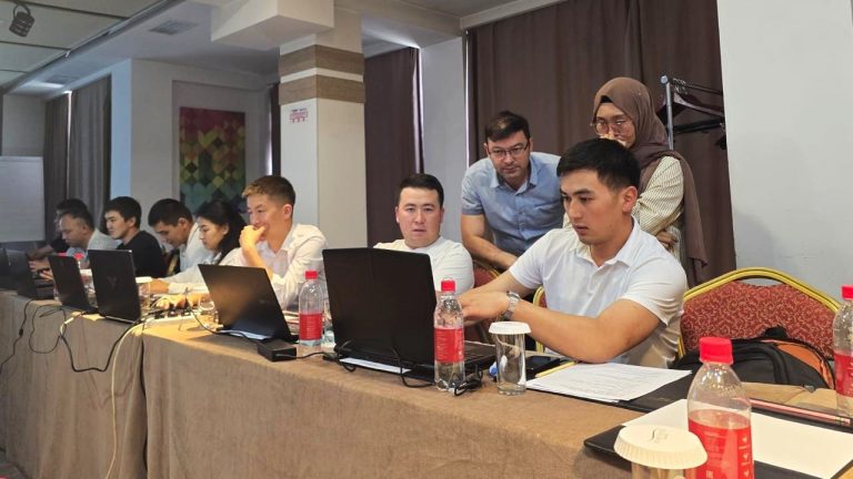
Day 2: Dr Manzul K. Hazarika, Director of GIC, presented on “Leveraging ICT for Disaster Response”, highlighting emergency mapping using Sentinel Asia and the International Charter on Space and Major Disasters. Practical sessions followed, focusing on RiskChanges and building on content from the first day. Participants explored publicly available data sources for hazard and risk layer extraction, data preprocessing, exposure analysis, vulnerability input, and loss assessment for effective risk evaluation using RiskChanges.
Some of the key outcomes of this workshop were participants were able to understand the key concepts and processes involved in disaster risk assessment, including hazard assessment, elements-at-risk mapping, vulnerability assessment, and overall risk assessment. Participants gained hands-on exercise on utilizing geospatial data for risk assessment using RiskChanges platform. Publicly available data was also introduced to the participants, which was helpful to complement their data sets. The participants showed interests in utilizing RiskChanges further using Kyrgyzstan case study.