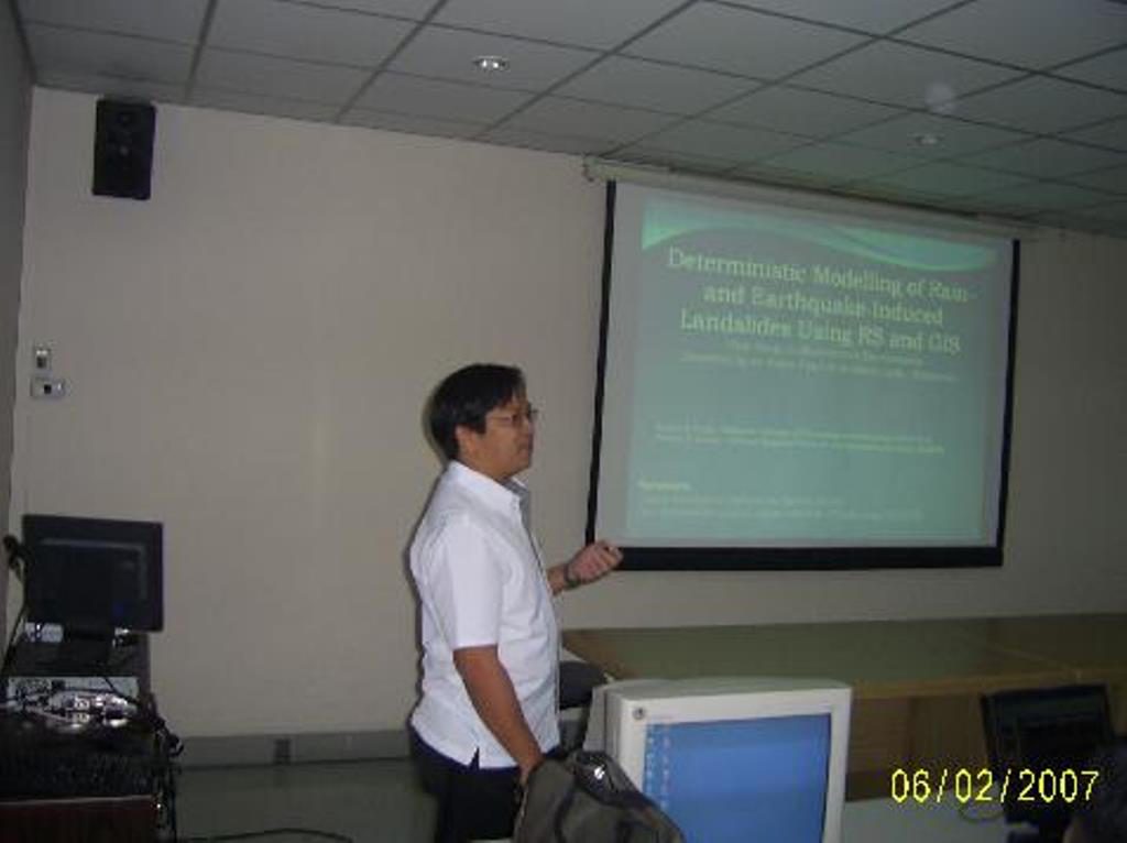
Modeling of Rain and Earthquake Triggered Landslides using RS and GIS-based Slope Stability Models
Descriptions
This project aimed at preparing landslide hazard maps for rain and earthquake induced landslides.
The study area of this project was the mountainous regions of the Southern Leyte of the Philippines. A landslide hazard map was prepared for the study area using the SINMAP model and Newmark’s approach for rain and earthquake induced landslides respectively.
The SINMAP model delineated 47% of the study area to be unstable and quasi-stable under extreme rainfall events recorded in the past. This was found to be satisfactory as 82% of the total recorded landslides were found to fall into these regions. Simulation of the earthquake event of February 17, 2006 (Magnitude 4.3 in Richter scale) using the Newmark’s approach indicated that the event was partially responsible in triggering the Guinsaugon landslide by producing a Peak Ground Acceleration (PGA) in excess of the critical ground acceleration required to overcome shear resistance and initiate sliding at some locations in the vicinity of the Guinsaugon landslide area. Accordingly, the procedure was repeated for preparing a seismic hazard map of the area for an extreme earthquake event (Magnitude 7.5 in Richter scale), considering an active fault of about 100 km in Southern Leyte.

