Multi-hazard Risk Assessment at District Level in Tajikistan
Tajikistan is a landlocked nation located in central Asia with a total population of approximately 8.7 million as of 2016. The steep, mountainous terrain that is characteristic of the country lends itself to be prone to natural disasters including mudflows, drought, earthquake, landslide, avalanches and sand/windstorms. In the eighteen-year span from 1997 to 2014 damages to infrastructure and livelihood attributed to disaster amounted to over half-a-billion USD.
Asian Institute of Technology (AIT) and University of Twente (Faculty ITC) is implementing a project on “Multi-hazard Risk Assessment at District Level in Tajikistan” to conduct a nation-wide risk assessment, which will be an integral component of a larger, overarching effort started by UNDP in 2016 to “Strengthen disaster risk reduction and response capacities for the country”.
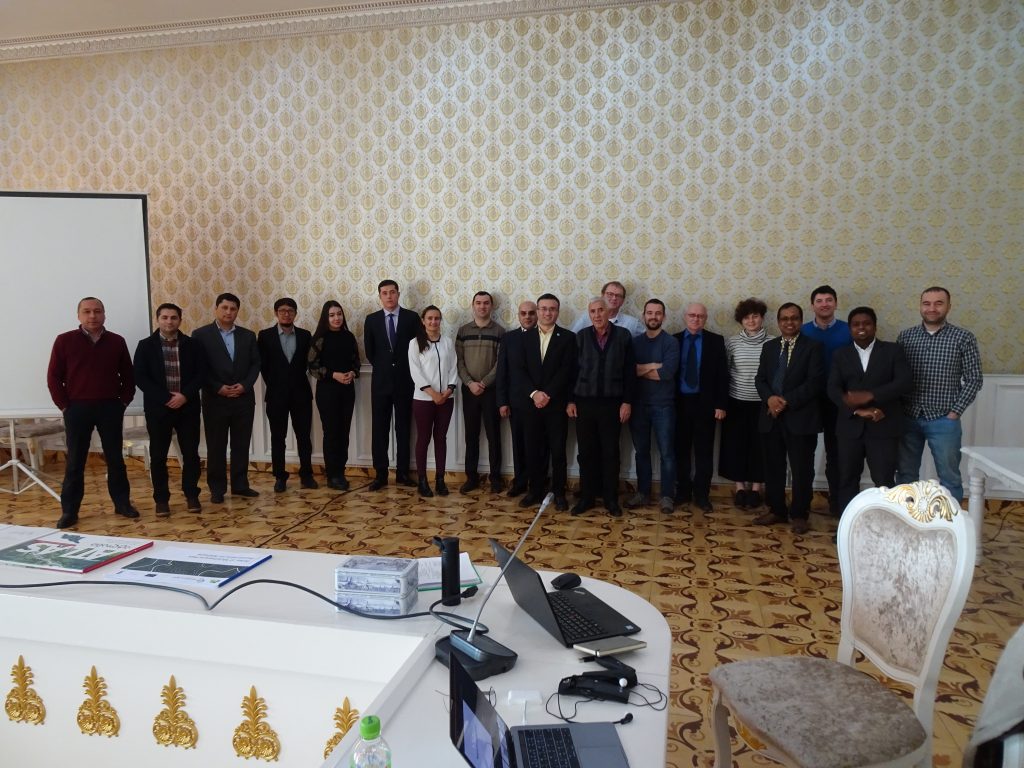
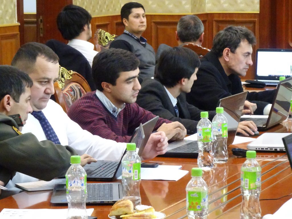
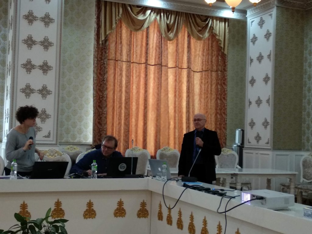
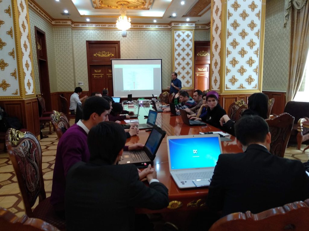
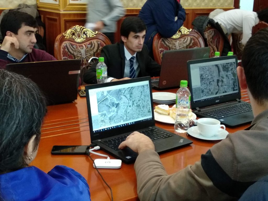
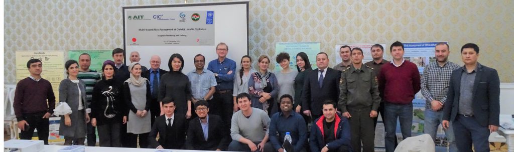
During 3-5 December 2018 an inception workshop cum awareness training was held in Dushanbe, Tajikistan to commence the project. During the workshop, a series of presentations followed up by discussions with stakeholders were conducted to understand their views on the prevailing hazard and risk situation in Tajikistan. Stakeholders had the opportunity to voice their suggestions on a number of facets of the project including scope of work, methodology for risk assessment, work plan, and assessment on training needs. Following the workshop, members from AIT and ITC met officials from relevant Tajikistan governmental agencies to discuss possible participation and collaboration for successfully implementing the project.
AIT and ITC have planned to make disaster prevention a sustainable practice for Tajikistan. Beyond the initial risk assessment, the year-long project will engage local experts through learning opportunities to improve their existing skillsets. Empowering the community through capacity building will assist in establishing a disaster prevention regime that continues beyond the life of the project. A two-week training course is scheduled for early April 2019 which will consist of lectures, hands-on exercises, and on-the-job training. Topics covered will include basic concepts of disaster risk management, applications of GIS and remote sensing to disaster risk management, and integrating topics covered during the training into the participants’ workflow.