Overview
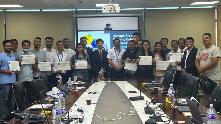
The training on “Glacial Lake Outburst Flood (GLOF) Mapping using Earth Observation Satellite Data” was jointly organised by Geoinformatics Center (GIC) and Department of Hydrology and Meteorology (DHM) in Kathmandu, Nepal on 29-31 July 2025 under the Sentinel Asia Project.
This training aimed to support Nepal’s disaster risk reduction efforts by building technical capacity in the use of earth observation satellite data for Glacial Lake Outburst Flood (GLOF) mapping and monitoring. The event was organized under the Sentinel Asia initiative and provided participants with foundational knowledge in remote sensing and hands-on practice in accessing and analyzing satellite imagery. The program emphasized the importance of timely GLOF monitoring and damage mapping, especially in the context of increasing climate-induced risks in the Himalayan region. Participants were introduced to Sentinel Asia’s mechanisms, learned how to identify glacial lakes using RS data, and performed practical image processing tasks using open-source tools.
GIC’s Role
Mr. Syams Nashrrullah and Mr. Thanaphol Boodchuang from GIC-AIT served as lead trainers and facilitators during the 3-day training event, delivering lectures and guiding practical sessions alongside experts from Japan Aerospace Exploration Agency (JAXA) and Indian Space Research Organisation (ISRO).
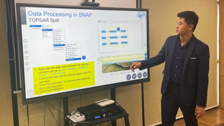
The training program was opened by DHM followed by a lecture on the Sentinel Asia framework and support mechanisms by Mr. Goro Takei from JAXA. Mr. Nashrrullah conducted a lecture on “Remote Sensing (optical and SAR data)” and led hands-on exercises on satellite data search, download, and basic handling using open-source software on Day 1.
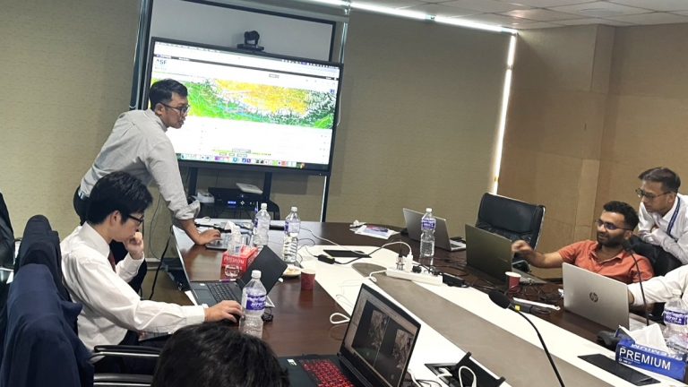
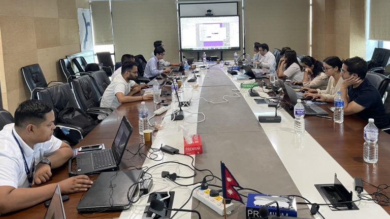
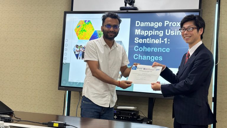
On Day 2, Mr. Nashrullah facilitated multiple practical sessions on glacial lake identification and mapping using satellite imagery and GIS tools following the presentation from Dr. Simhadri Rai, ISRO on glacial lake mapping using remote sensing data. Similarly on Day 3, Mr. Boodchuang led two hands-on sessions on Flood mapping using Sentinel-1 SAR data and GLOF damage mapping using coherence analysis.
Participants gained a deeper understanding of the Sentinel Asia framework and its role in disaster management across the Asia-Pacific region. They developed hands-on skills in downloading, visualizing, and analyzing satellite data for glacial lake mapping, flood detection, and damage assessment. Processing tools such as SNAP, QGIS, as well as ALOS-2 SAR data and open-access satellite datasets (Sentinel-1, Sentinel-2) were introduced. The training improved their ability to assess GLOF-related hazards, interpret data for disaster response, and produce actionable maps. It also strengthened collaboration between Nepalese agencies and Sentinel Asia partners, especially in terms of emergency coordination.