Overview
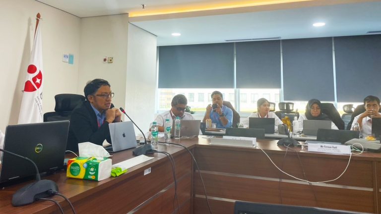
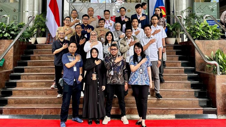
The training on “SAR Data Analysis for Disaster Mapping and Damage Assessment” was jointly organised by the National Research and Innovation Agency / Badan Riset dan Inovasi Nasional (BRIN) and Geoinformatics Center (GIC) in Jakarta, Indonesia on 16-18 June 2025 under the Sentinel Asia Project.
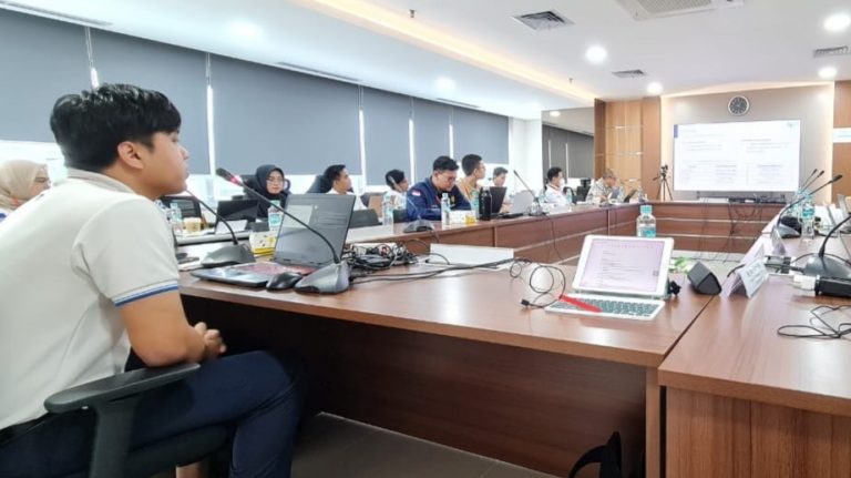
This training aimed to strengthen national capacity in disaster response by equipping participants with the knowledge and practical skills to use Synthetic Aperture Radar (SAR) data for disaster mapping and damage assessment. It built upon Sentinel Asia’s operational framework and Indonesia’s ongoing efforts in disaster risk reduction. Participants were introduced to Sentinel Asia’s mechanisms, learned how to request Emergency Observation Requests (EOR), and practiced satellite data processing techniques using freely available tools. Special focus was given to SAR applications for flood mapping, coherence analysis, and pixel-based damage assessment techniques.
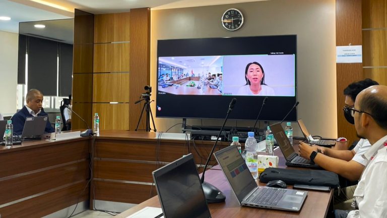
Ms. Yuki Tanaka from JAXA delivered the opening remarks and presented an overview of the Sentinel Asia framework and its support for disaster management. The training had more than 80 participants from Thailand and Indonesia.
GIC’s Role
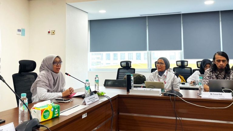
Mr. Syams Nashrrullah, Senior Research Specialist and Mr. Thanaphol, Research Associate from GIC served as lead trainers and facilitator for this training program, alongside other experts from JAXA and GIC. On Day 1, Mr. Nashrrullah conducted a lecture on the Emergency Observation Request (EOR) process and led hands-on exercises on searching, downloading, and handling SAR data using open-source platforms such as SNAP and QGIS. On the next day, he delivered a lecture on “SAR applications for Flood Mapping”, focusing on techniques such as backscatter thresholding and coherence analysis and facilitated practical exercises on flood extent delineation and urban flood assessment using Sentinel-1 SAR data.
On Day 3, Mr. Boodchuang presented “Remote Sensing Applications for Damage Assessment”, highlighting the use of SAR data for detecting impacts from earthquakes and volcanic eruptions followed by practical sessions based on real disaster case studies.