Workshop Overview
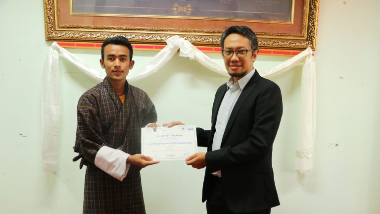
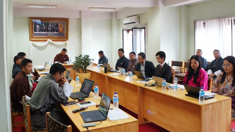
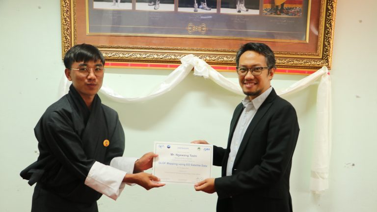
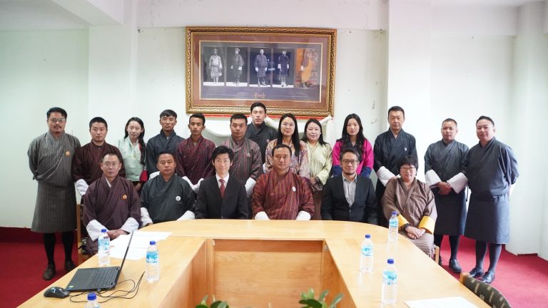
Sentinal Asia training on “Glacial Lake Outburst Flood (GLOF) Mapping using Earth Observation Satellite Data” was held between 19-21st, August 2024 at National Center for Hydrology and Meteorology (NCHM), Bhutan. This training aims to build upon Sentinel Asia’s existing framework and Bhutan’s ongoing efforts in GLOF risk reduction. By enhancing the capacity to utilize earth observation data for GLOF mapping, the training will contribute to more effective disaster preparedness and emergency response in Bhutan.
This training introduced the participants from various organizations in Bhutan, including the National Center for Hydrology and Meteorology (NCHM), the Department of Geology and Mines (DGM), and the Department of Forests and Park Services, to the Sentinel Asia initiative and its role in disaster management across the Asia-Pacific region.
Workshop Highlights
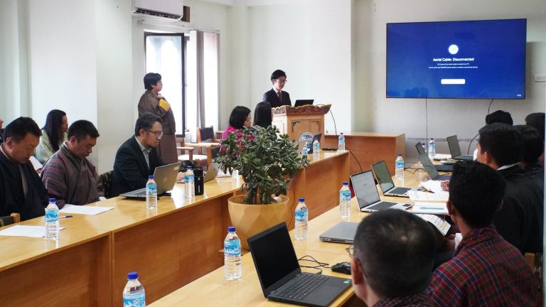
Day 1: Mr. Goro from JAXA began with a lecture on Sentinel Asia, detailing its role in providing timely satellite data and products for managing various disasters such as floods, landslides, earthquakes, and glacial lake outburst floods (GLOF). Following this, Mr. Syams, a Research Specialist from GIC-AIT, covered the basics of remote sensing, including optical data and Synthetic Aperture Radar (SAR). Participants then engaged in practical exercises to search for and obtain free satellite data. The day concluded with basic GIS and satellite data handling training using QGIS, where participants analyzed satellite data from a recent mudflow event in Thimphu, Bhutan.
Day 2: Dr. Simhadri Rao from the Indian Space Research Organization (ISRO) delivered a lecture on identifying and mapping glacial lakes using remote sensing data. Participants then applied their knowledge in practical hands-on exercises using Sentinel-1 and Sentinel-2 data to identify and map glacial lakes.
Day 3: Mr. Syams provided a practical exercise on calculating glacier velocity using Sentinel-1 data and the open-source SNAP software. This exercise focused on the Thorthormi Glacier Lake in Bhutan, following the Sentinel Asia activation on June 22, 2019.
The participants learned how to access the open satellite data, leveraging Sentinel Asia’s data archives and value-added products, and utilizing the available earth observation data and processing tools for GLOF mapping and monitoring.
