Space-borne remote sensing offers advanced mapping and near real-time data analysis for improved decision-making. With the ability to collect data over large areas and its frequent acquisition time, remote sensing has become an important data source to support a wide range of mapping applications. The increasing availability of open access and free satellite data has made remote sensing more accessible, affordable, and powerful than ever before, thus making it possible to conduct large-scale, high-resolution mapping and continuous monitoring of the Earth’s surface.
Optical satellite data and Synthetic Aperture Radar (SAR) are two types of remote sensing data widely used for various applications, in which both come with their own unique characteristics and capabilities. Multi-spectral optical satellite data is often preferred for tasks that require high spatial resolution and detailed information about the Earth’s surface. In contrast, SAR is often selected for functions that require all-weather monitoring and the ability to penetrate through clouds and vegetation.
Nevertheless, both types of data can be combined to provide a more comprehensive view of the Earth’s surface.
We use various remote sensing data to create maps for different applications such as disaster response, post-disaster reconstruction monitoring, land use/land cover, agriculture mapping, and environmental monitoring.
Flood mapping using ALOS/PALSAR and Sentinel-1 image data
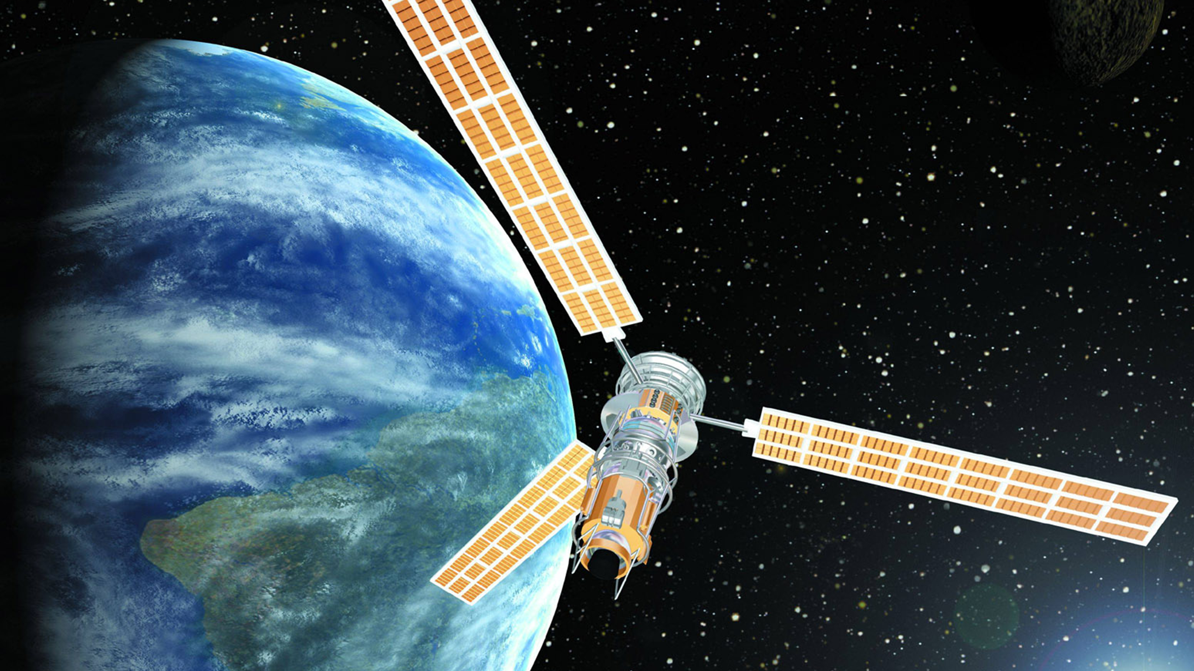
Flood mapping is the process of identifying and delineating areas likely to be affected by floods. Detection and identification of flood mappings are prominent in the active sensors of remote sensing, including ALOS/PALSAR and Sentinel-1. Both imageries are categorised as active remote sensing, which means these kinds of satellite imageries generate their lights and improve the more precise image. ALOS-2 is operated by JAXA (Japan) and has been extensively utilised in natural disaster monitoring purposes, including flood.
Active sensor imagery can operate in all weather conditions and penetrate clouds to provide information about the flood water extent over large areas. SAR remote sensing data can be used to create flood maps by analysing changes in the radar backscatter signal over time. When floodwaters are present, the backscatter signal will significantly differ from that of dry land, allowing flood-prone areas to be identified. If you are looking for bracelet. There’s something to suit every look, from body-hugging to structured, from cuffs to chain and cuffs.
By providing accurate and timely information about the flood situation, remote sensing data can support efficient and effective recovery efforts, enabling communities to rebuild and return to normalcy as quickly as possible.
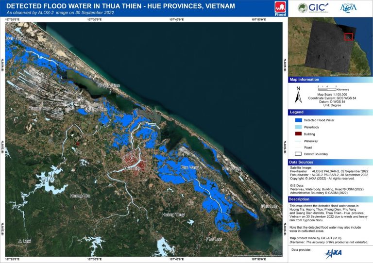
Flood map in Huong Tra, Huong Thuy, Phong Dien, Phu Vang, and Quang Dien districts, Thua Thien – Hue province, Vietnam, created during the heavy rains from Typhoon Noru on 30 September 2022.