Overview
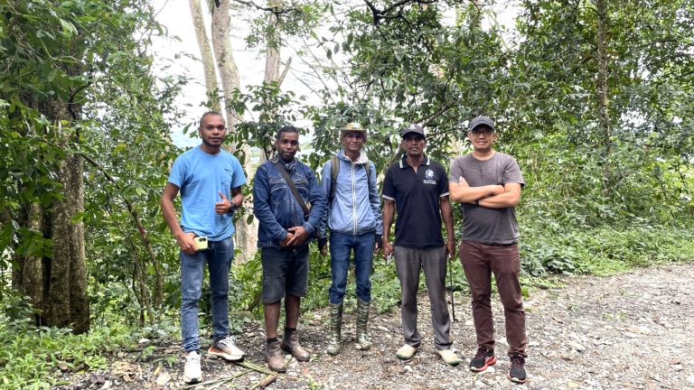
The Asian Development Bank (ADB) implemented the Coffee and Agroforestry Livelihood Improvement Project (CALIP) in Timor-Leste, contributing to sustainable agriculture and rural development. To support this initiative, AIT conducted field surveys with the support from the CALIP local team, to collect and update coffee plantation data across six districts: Liquica, Ermera, Ainaro, Manufahi, Aileu, and Bobonaro. The survey aimed to enhance the accuracy and reliability of Earth observation data for coffee plantation mapping and monitoring.
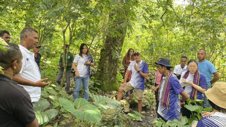
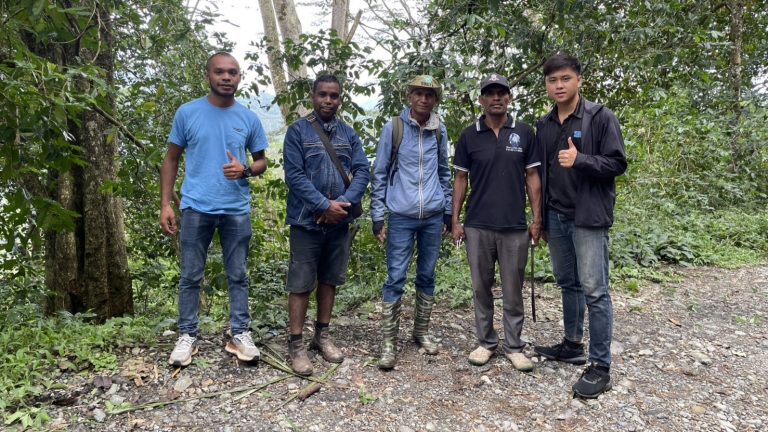
During the surveys, the GIC team recorded location data, photographs, and detailed characteristics of coffee plantations. Additionally, drone flights were conducted to capture high-resolution aerial imagery, to complement the ground-based observations. 115 ground observation points across six districts in Timor-Leste, documenting the locations and photographs, and other detailed coffee characteristics such as coffee production systems, coffee species, shading tree species, shading density levels, ownership, and farming conditions were collected.
Highlights
The team conducted the survey to multiple locations across six districts in Timor-Leste to collect data on coffee plantations and forest conditions.
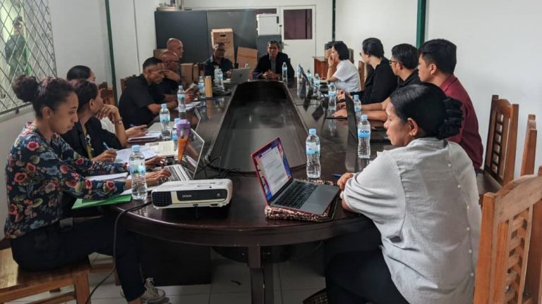
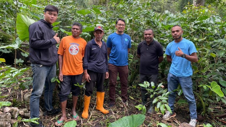
Day 1: The GIC team met with local counterparts CALIP and the ADB team in Dili to discuss the field plan followed by a visit to Liquica (site 1) for collection of ground data and drone survey.
Day 2: On the second day, data collection and drone surveys were done in Ermera (site 2), where field validation points were gathered using a mobile application and drone imagery. Data was compiled and backed up at the end of the day.
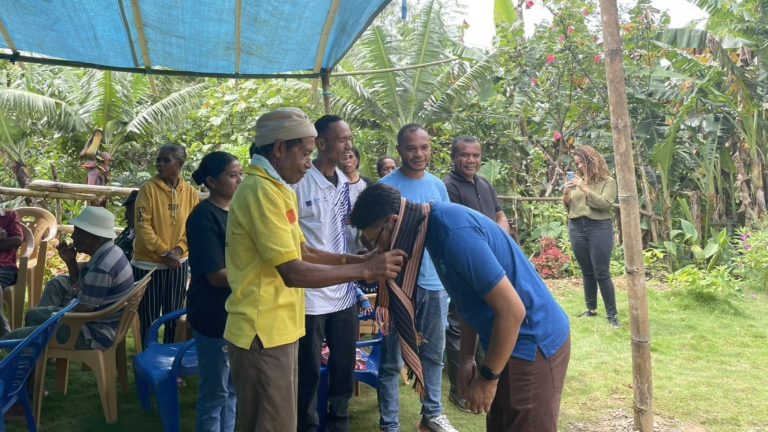
Day 3: The survey was continued in Ainaro (site 3), where the GIC team visited coffee plantations and participated in activities with local farmers alongside the CALIP and the ADB team. Later, the team surveyed at Manufahi (site 4) like previous locations.
Day 4 and Day 5: The survey was continued in Aileu (site 5) on Day 4, and Bobonaro (site 6) on the last day. Some additional data was collected, and necessary drone imagery was taken.