
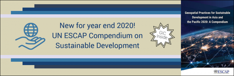
GIC was recognized as a key player for space applications in a new United Nations Economic and Social Commission for Asia and the Pacific (UN ESCAP) publication on the implementation of geospatial data for sustainable development in the Asia-Pacific Region.
The publication, titled Geospatial Practices for Sustainable Development in Asia and the Pacific 2020: A Compendium (hereinafter referred to as the Compendium), was released online in November 2020.
Central to the focus of the Compendium are six thematic areas which were identified in a UN ESCAP 2019 publication that support both the Sustainable Development Goals and the Sendai Framework for Disaster Risk Reduction; those six areas include: Disaster Risk Reduction and Resilience, Social Development, Energy, Connectivity, Natural Resource Management, and Climate Change.
The Compendium uses examples of geospatial data in action by UN-ESCAP’s regional partner institutions to deliver a survey of Asia-Pacific progress in the fore mentioned thematic areas. A section which explored activities related to the Disaster Risk and Reduction theme highlighted GIC’s recent innovative efforts in Uttarakhand, India.
In that project, GIC and partners completed a state-wide, multi-hazard disaster risk assessment for Uttarakhand. Big data analysis allowed disaster exposure for Uttarakhand communities and infrastructure to be quantified, a first for the state. The multi-hazard risk maps created for the project are currently utilized in a decision support system that facilitates better disaster management for Uttarakhand state officials.
Click here to access the Compendium to learn more about GIC’s involvement in Uttarakhand as well as the sustainability-focused geospatial activities of other agencies in the region.