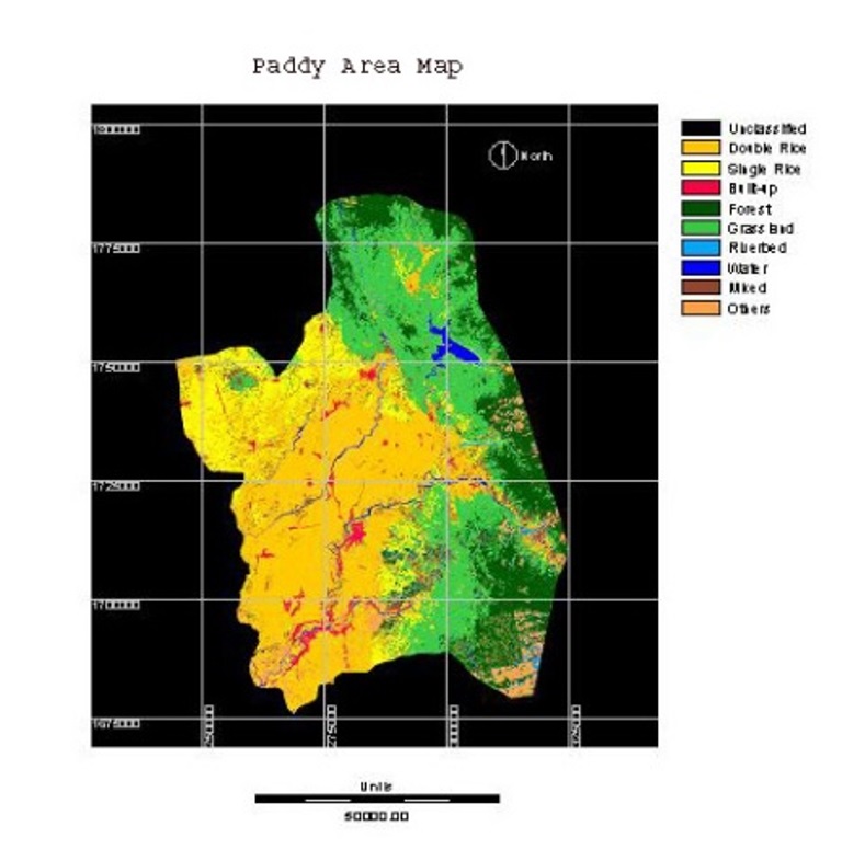
Use of Remote Sensing and GIS in Paddy Area Mapping in Nueva Ecija
Year: 2004-2005
Country: Philippines
Location within country: Nueva Ecija province
The project aimed at identifying and mapping rice grown areas using a combination of remote sensing and GIS data including Landsat-TM, Terra-ASTER, JERS-1 OPS and ADEOS-AVNIR satellite images.
The study area of this project was Nueva Ecija province, the largest province and the biggest rice producer of Central Luzon and the Philippines, thus, often referred to as the “Rice Bowl of the Philippines”.
Descriptions
Landcover classification was carried out for the purpose of rice paddy separation from other landcover types. Crop conditions were observed in a few points where yield data were available. Timing of data acquisition as per crop calendar and crop development stage is important and provide an important role in classification accuracy. The GPS points collected in fieldwork and existing topography maps of the study area were used in this project to validate the classification results. JERS-1 OPS and ASTER data were found to be quite advantageous for rice area mapping due to its better spatial resolution

