Overview
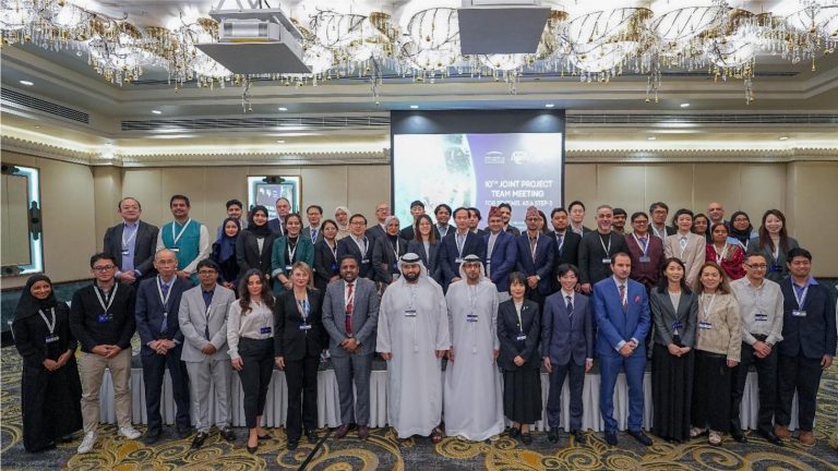
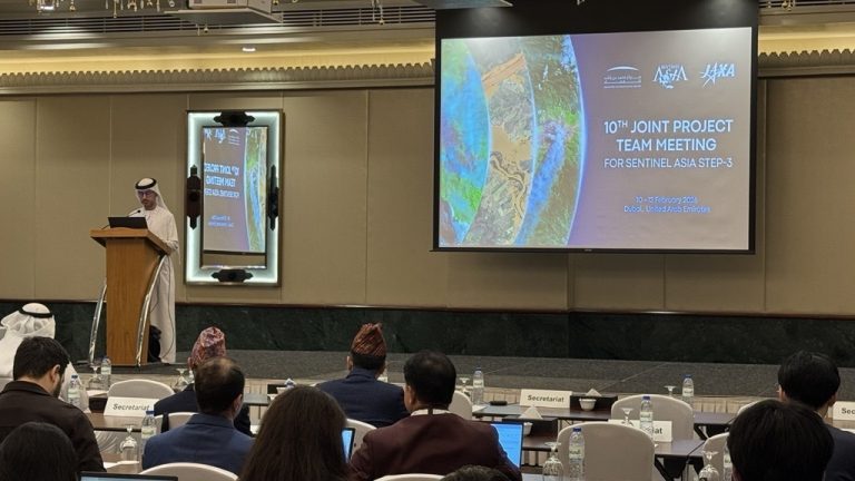
The 10th Joint Project Team Meeting for Sentinel Asia STEP-3 (JPTM2025) was held from February 10 to 12, 2026, in Dubai, United Arab Emirates. Co-organized by the Mohammed Bin Rashid Space Centre (MBRSC) and the Japan Aerospace Exploration Agency (JAXA), this annual meeting serves as a strategic and operational forum where space agencies, disaster management organizations, and international partners coordinate satellite-based disaster management for the Asia-Pacific region. The event opened with strategic sessions aimed at expanding the Sentinel Asia network, welcoming new members from Japan, Nepal, Turkey, and Kazakhstan to strengthen regional cooperation.
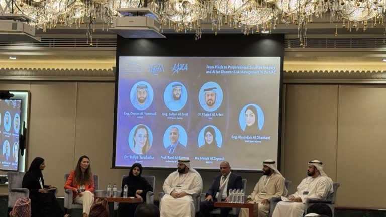
Mr. Syams Nashrrullah, Senior Research Specialist at Geoinformatics Center (GIC) was invited as one of the presenters during this meeting for Sentinel Asia. The event featured Country Presentations and User Sessions where members shared good practices and lessons learned from recent disasters. Key highlights included reports on the 2025 GLOF and landslides in the Kyrgyz Republic, flood impact assessments from Bangladesh, Indonesia, Nepal, Thailand, the UAE, and Vietnam, and earthquake response operations in Türkiye.
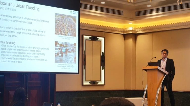
The Technical Training Workshop focused on building hands-on capacity through sessions on flood mapping, monitoring systems, and AI-based earthquake damage mapping. AIT presented Urban Flood Mapping Using SAR, highlighting challenges in urban flood detection and showcasing the December 2024 Hat Yai floods as a validation case study.
Role of GIC
Mr. Nashrrullah presented on “Urban Flood Mapping Using SAR and Validation Insights from Recent Floods in Southern Thailand” at the JPTM2025. His presentation focused on the use of Synthetic Aperture Radar (SAR) remote sensing for urban flood mapping, highlighting its importance in the context of increasing flood risks driven by rapid urbanization and climate-related hazards. He explained the technical challenges on urban flood mapping and how SAR signal properties such as backscatter intensity and interferometric coherence interact with urban environments through mechanisms like specular reflection and double-bounce scattering, enabling the detection of inundation in complex built-up areas.
Mr. Nashrrullah presented the methodology through a case study of the November–December 2025 floods in Southern Thailand, utilizing multi-temporal Sentinel-1 and ALOS-2 SAR data to generate flood extent maps for both urban and open areas. The workflow integrated backscatter and coherence change detection with urban masks to support rapid response. Field validation in Songkhla Province, using ground surveys and drone imagery, showed that coherence-based methods significantly improved urban flood detection compared to backscatter alone. The study highlights the strong operational value of SAR-based urban flood mapping and recommends future work on automation, cross-city generalization, integration of auxiliary datasets, and enhanced validation frameworks.