Overview
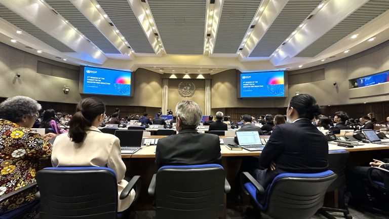
The Ninth Session of the Committee on Disaster Risk Reduction was held from 26 to 28 November 2025 in Bangkok, organized by the United Nations Economic and Social Commission for Asia and the Pacific (ESCAP). The session addressed several critical issues, including: (a) reviewing the evolving disaster risk landscape in Asia and the Pacific; (b) strengthening disaster risk reduction capacity and resilience through innovations in science and technology for regional implementation; and (c) providing an overview of the work undertaken by the ESCAP secretariat and other United Nations entities on disaster risk reduction in the region.
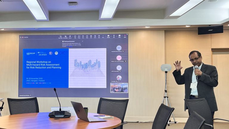
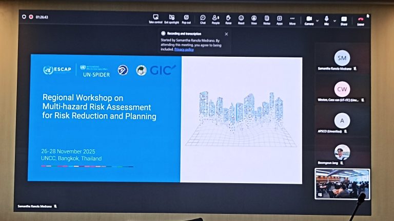
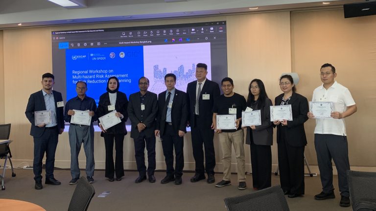
The Geoinformatics Center (GIC) co-organized a side event titled “Regional Workshop on Multi-Hazard Risk Assessment for Risk Reduction Planning”, in partnership with IDD-UNESCAP, UN-SPIDER, APCICT-UNESCAP, and the Asia-Pacific Space Cooperation Organisation (APSCO). GIC delivered a training session on Multi-Hazard Risk Assessment (MHRA) using RiskChanges, a cloud-based platform.
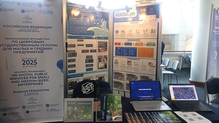
In addition, GIC hosted a booth throughout the three-day forum, showcasing both the RiskChanges Platform and the Sentinel Asia programme. RiskChanges is an open-source, cloud-based Spatial Decision Support System (SDSS) co-developed by GIC and the Faculty of Geo-Information Science and Earth Observation (ITC), University of Twente. The platform supports users in analyzing and managing dynamic multi-hazard risks. Sentinel Asia is a voluntary initiative that brings together space and disaster management agencies to support emergency response through Earth observation data across the Asia-Pacific region.
Event Highlights
Day 1
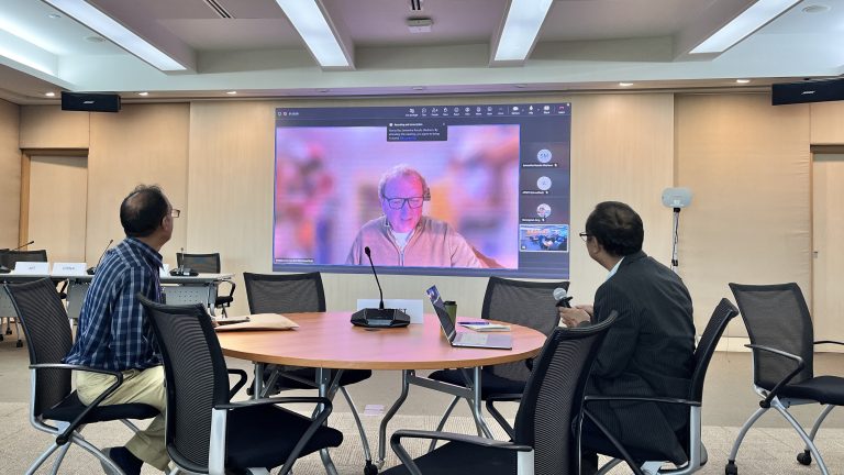
On 26 November, Dr. Manzul Hazarika delivered the welcoming remarks for the side event alongside Mr. Kiyong Ko (ESCAP) and Mr. Hamid Mehmood (UN-SPIDER). The opening was followed by a technical presentation titled “ICT for Risk Assessment & Visualisation” by Prof. Cees van Westen from the University of Twente (ITC).
Day 2
Dr. Hazarika was a speaker in the session on “Integrated Geospatial Information for Local SDG Monitoring,” joining representatives from the Ministry of Emergency Management of China and WWF-Bhutan. In the afternoon, Ms. Salsabila Ramadhani Prasetya conducted a hands-on demonstration of the RiskChanges platform, covering account setup, data input (hazards, exposure, and vulnerability), and multi-hazard exposure assessment. The session was moderated by Dr. Hazarika.
Day 3
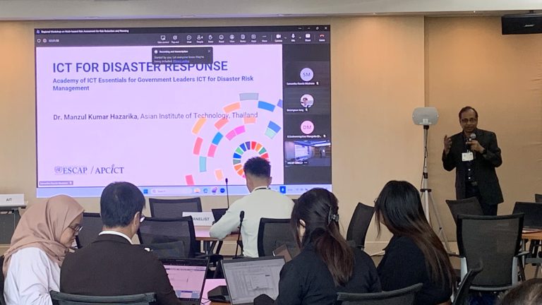
The final day featured a presentation by Dr. Hazarika on “ICT for Disaster Response,” covering the role of information and communication technologies and remote sensing in emergency situations. In the afternoon, the workshop continued with practical exercises on RiskChanges, including loss assessment, exporting outputs for use in GIS software, and performing risk analyses.
The workshop served as a valuable platform to promote the use of geospatial innovations in disaster resilience, vulnerability analysis, and risk assessment. It also facilitated regional knowledge exchange and contributed to capacity-building for multi-hazard risk reduction planning.