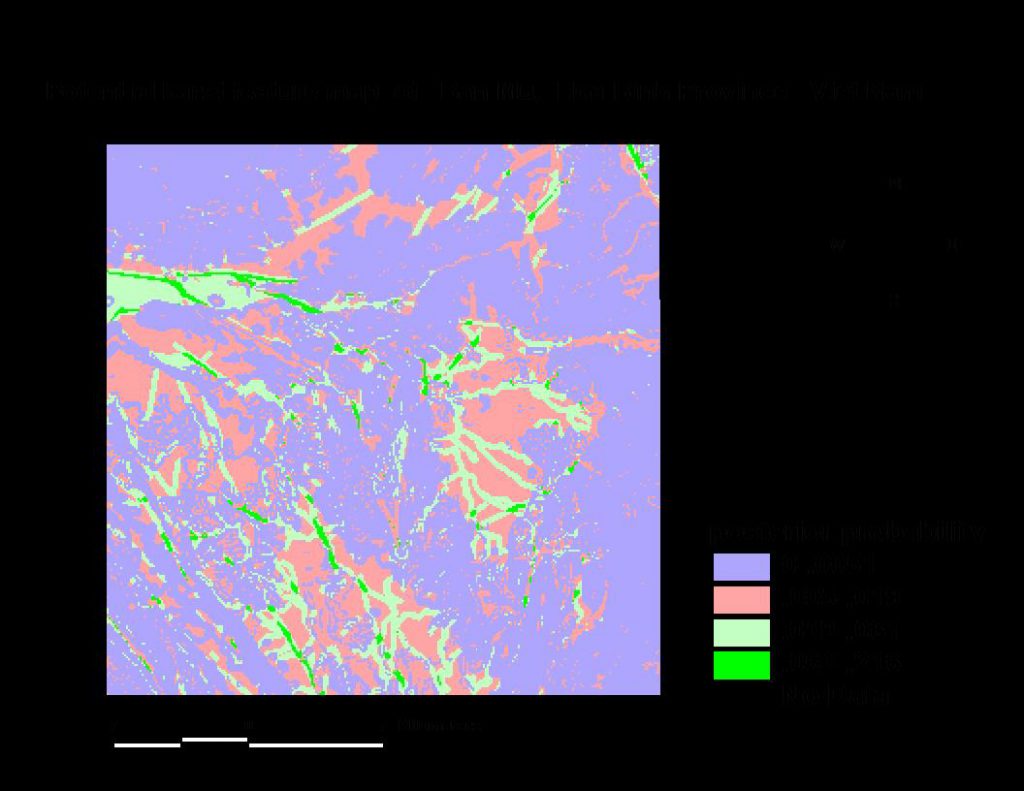
Application of Conventional and Spatial Data in Detection of Underground Karsticic Formations to Store Excess Extreme Floodwater Flows in the Red River Delta in Vietnam
Descriptions
The objectives of this project were: 1) To map the Karst formations in order to investigate the possible areas to divert flood water to ground water aquifers, 2) To improve the methodology for the karst related applications using Remote Sensing data and GIS tools.
The study area, Hoa Binh is one of the largest reservoirs laid on Karstic formations. In this project, the karstic formations were located by using surface information that extracted from remote sensing satellite data and other available information. There were a number of features that can be considered as evidences for the existence of Karstic formations. These evidences were extracted from different sources such as geological maps, topographic maps, elevation data, and ground survey data. Favorable rock or the host-rock (limestone in this case) was extracted from geological maps. Lineaments were evidences that also extracted from geological maps, DEMs and satellite images. The digitization of lineaments from geological maps, hill shade images and filtered satellite image were used to generate a complete lineament map as an evidence for a predictive GIS model. The weight of evidence modeling has been used in this project to predict the potential karstic features in the study area.

