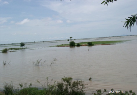
Land Use/Land Cover Changes and Flood Risk Assessment in Cambodia using Remote Sensing and GIS
Descriptions
The objectives of this project were: 1) To prepare landuse and landcover maps using remotely sensed data, 2) To examine the landuse and landcover changes in last 12 years, 3) To identify the flood and non-flood affected areas for better landuse planning/management, 4) To prepare flood risk map and estimate the population and landcover areas which affected by flood.
The study areas of this project were Prey Veng, Kandal and Kampong Cham provinces in Cambodia. Unsupervised and supervised classification method was performed in a time-series of Landsat-TM, Landsat-ETM+, ASTER, and JERS-OPS to produce the landuse/landcover maps in the study area, and analyze changes in a time span of 1989 to 2001. The results was compared with the flood map prepared from RADARSAT image by the Mekong River Commission (MRC), and used to estimate population affected by floods in 1997 and 2000. Village location and population data, road data and flood maps were integrated in a GIS environment to create flood risk map during a normal flood event.

