Investigation of Correlation between Rainfall and Soil Moisture at Darkhan Aimag Region
Year: 2009-2010
Country: Mongolia
Location within country: Darkhan-Uul aimag
The objectives of this project were: 1) To analyze the differences between GPM-TRMM precipitation and observed values in the study area, 2) To analyze the differences between SMI values retrieved from remotely sensed data and observed soil moisture in the study area, 3) To delineate landuse/landcover map of Darkhan-Uul aimag region.
Descriptions
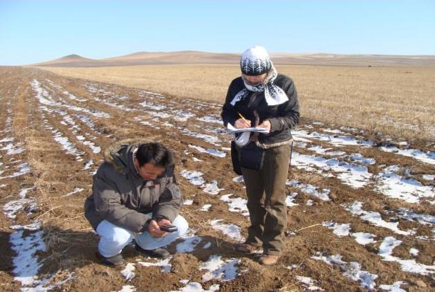
The study area, Darkhan-Uul aimag is an agricultural area in Mongolia. An attempt has been made here to estimate the surface moisture conditions using remote sensing data, as it is one of the important parameters of agricultural production. Terra/MODIS products (MOD09: surface reflectance images and MOD11: land surface temperature (LST) images which acquired during 2004-2009) were used for generating land surface moisture. The land surface temperature and vegetation indices were examined concurrently to estimate the soil moisture content. Actual soil moisture measurements from April 2004 to September 2009 were available at a 10 days interval. GPM-TRMM data acquired during 2008-2009 were used to obtain a relationship with the actual precipitation. A landuse and landcover change map was prepared using the ALOS/AVNIR-2 and Landsat TM images. Daily and 8-day SMI maps from 2004 to 2009 were prepared from LST and Normalized Difference Vegetation Index (NDVI) at 1 km spatial resolution. SMI value of 0 and 1 indicates the dry and wet condition, respectively. GPM-TRMM data was used to prepare the precipitation distribution map in the study area as there are not enough meteorological stations to observe the precipitation. A correlation between GPM-TRMM predicted precipitation and actual precipitation was established. It was found that 8-day SMI and actual soil moisture at 5 cm and 10 cm soil depth had a good correlation. Application of 8-day composite for SMI is better than daily products due to less cloud contamination. ALOS/AVNIR-2 image of 2006 and Landsat-TM image of 2008 were used for examining the changes in agricultural lands in the study area at a 10m spatial resolution.

