
GIC shared its expertise in a capacity building program related to earth observation for land subsidence, building stability, flood, agriculture, and aquaculture in Indonesia. The event was held online through the partnership of the European Space Agency (ESA) and the Asian Development Bank (ADB), and hosted by the Indonesian Research Organization for Aeronautics and Space (LAPAN) from November 22-26, 2021.
The 5-day training course, titled Knowledge Sharing & Capacity Building of Earth Observations for Water and Food Security Planning in Indonesia, was sponsored by the Asian Development Bank through (i) the Water Financing Partnership Facility; and (ii) the Japan Fund for Poverty Reduction.
GIC participated in a session which focused on stability mapping for buildings and critical infrastructure. Research associates’ Chathumal Madhuranga and Syams Nashrrullah shared GIC’s progress in an ongoing ADB project on Emergency Assistance for Rehabilitation and Reconstruction (EARR) Monitoring in Palu, Central Sulawesi, the site of a devastating September 2018 earthquake that caused more than 4,000 deaths. GIC opted to use the Small Baseline Subset (SBAS) and Persistent Scatterer Interferometry (PSI) technique for Sentinel-1 multi-temporal InSAR data processing for this task. The final output was a map depicting the stability of buildings in Palu with a low, medium, or high motion status based on ground motion levels determined from Sentinel-1 data analysis.
Data access and processing for GIC’s ground motion analysis took place in the Geohazard Exploitation Platform (GEP), a cloud-based solution that carries out large scale processing of Earth Observation data, and allows mapping hazard prone land surfaces and monitoring terrain deformation.
During the session GIC also introduced the Project Geoportal, a user-friendly and interactive platform to support the Palu reconstruction monitoring activities and visualize the output of the data processing and analysis. The Geoportal features maps that were created through SAR data analysis including time-series displacement maps and stability maps of buildings and other infrastructure. Additional map layers like active fault line, liquefaction area, and resettlement areas assist in understanding underlying geographical concerns as well as ongoing aid efforts.
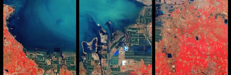
GIC was joined by Remote Sensing Technology Center of Japan (RESTEC), Terradue, Luxembourg Institute of Science and Technology (LIST), Planetek, and Indonesia’s government agencies and universities to round out the other sessions which focused on land subsidence, flood mapping, crop and water use mapping, and aquaculture mapping.