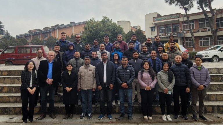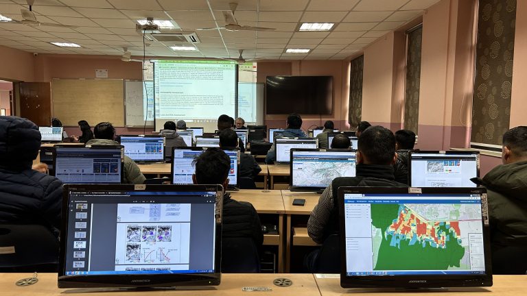
Geoinformatics Center hosted a multi-hazard assessment training session, delivered to the stakeholders in Nepal at the ICTC Building, Institute of Engineering, Tribhuwan University, Pulchowk Campus. The training, which consisted of theoretical and hands-on practical sessions, was held over four days. More than 35 participants in the training came from the National Disaster Risk Reduction and Management (NDRRMA).
The training began with understanding the needs and requirements based on the concurrent hazard in the area. They were applied from the multi-hazard understanding, where it poses a significant risk to communities and critical infrastructure in the area. According to the first intervention on the training, Nepal needed to criticize the risk of its different assessment method due to the risk scale.
Day 1: Introduction to Multi-hazard Risk Assessment
At the introductory session, training was run with several lectures about disaster risk assessments and their adaptation. Dr. Manzul K Hazarika talked about the introduction to disaster risk assessment at various scales in the introductory lectures. Following his lecture, Mr Rameshwar Marhatta, the joint secretary of NDRRMA, gave an insightful lecture on the organizational and legislative framework of MHRA in Nepal. He described existing policies, legal instruments, task forces, past works, and experiences relevant to disaster risk management in Nepal.
The government of Nepal has been working with the Youth Innovation Lab on Building an Information Platform Against Disaster (BIPAD). From the Disaster Information System (DIMS), a demo of how to use the portal is delivered to participants to generate risk information in certain areas.
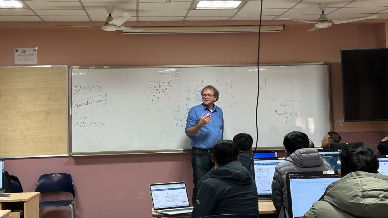
Day 2: RiskChanges Practical Session
Following by the lecture from Dr. Basanta Raj Adhikari, Assistant Professor of Tribhuwan University and Prof. Cees, GIC (Mr. Anish Ratna Shakya and Ms. Rabina Twayana) guided the hands-on training on using the RiskChanges tool. Participants created their account, organization and project and uploaded the hazard input data in that session. In the last session, participants showed their work related to disaster risk management.
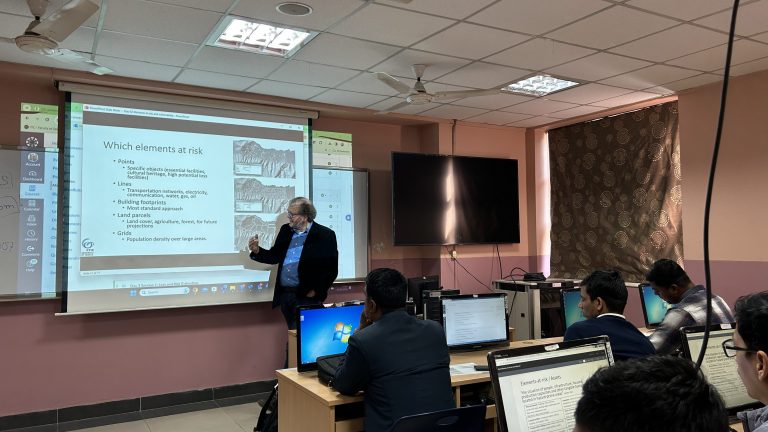
Day 3: Loss and Risk Estimation
On day three, Prof. Cees lectured about loss, risk estimation, and risk reduction alternatives. As the previous session enlightened participants with the initial assessment, the hands-on practical session continued with uploading the elements-at-risks layers linked with vulnerability, calculated exposure and estimated loss and risk. Similarly, participants also compared the risk reduction after applying various risk mitigation measures at the administrative level.
Day 4: Community Matters
On the final day, Prof. Eefje explained different approaches that enable vulnerable communities to build back better. She compared the results of her study in two districts of Nepal after the Gorkha Earthquake in 2015 and found interesting interpretations. On the final day, active discussions among the participants of various organizations marked the training’s objectives.
Lesson Learnt
The training met the expectations, where participants from various national agencies and engineers understood the scarcity of urban planning due to multi-hazard risk. They could use open-source, freely available web-based applications to prepare flood hazard maps. They learned where and how to develop elements-at-risks and vulnerability databases independently. Eventually, they learn to estimate multi-hazard risks and compare them with risks after applying mitigation measures.