Application of Remote Sensing and GIS Data for Landcover/Landuse Change Detection in Coastal Zones
Descriptions
The objectives of this project were: 1) To identify and map the landcover types, particularly mangrove forest, in the coastal zone of the South of Vietnam, 2) To detect and monitor changes in landcover and mangrove distribution.
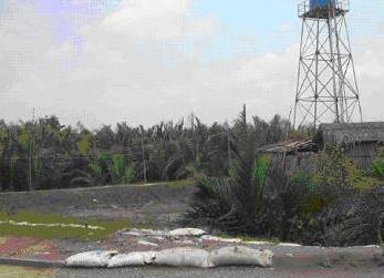
The study area, Can Gio district is located in a plain coastal region in the South of Vietnam, covers a notable mangrove region in the suburb of Ho Chi Minh city which is being affected much by urbanization and shrimp farming. In this project, the satellite images (JERS-OPS, MOS-MESSR, and Landsat-ETM+) and other data (topographical maps, existing landuse maps, and statistic yearbooks) were collected and purchased, then the ancillary data were digitized and input into a GIS to set up a database. In parallel, the satellite data were processed and analyzed using subsequent processes of visual interpretation, unsupervised, and supervised classification, with reference to the relevant ancillary data in order to produce draft landuse maps. A field survey was then carried out to collect additional ancillary data, to check and correct the maps. Finally, the final maps were produced, change detection analysis was performed, and the database was updated. Based on the results, it can be observed that there was increased in both wetland and forest land in the region, while the agriculture land in contrast was decreased. This can be explained by the appearance of a lot of shrimp ponds and fruit plantations as well as foreign-invest planted forest.

