Application of Remote Sensing & GIS Technology for Landslide Susceptibility Assessment
Descriptions
The objectives of this project were: 1) To develop a landslide susceptibility map using a deterministic slope stability model as well as a weighted average analysis, 2) To establish the spatial correlation of landslide occurrences with different physical parameters in the watershed using GIS.
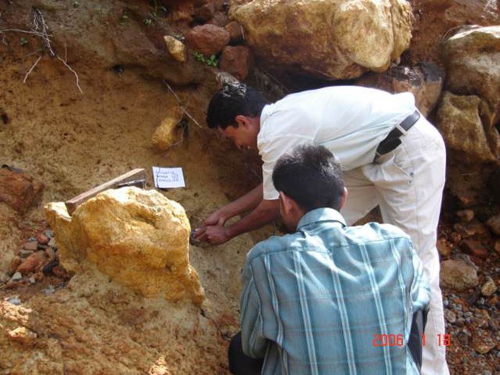
The study area of this project was Ratnapura district of Sri Lanka. Two approaches were considered in this project: 1) Analysis of the slope stability index using SINMAP extension of ArcView, 2) Weighted average analysis method based on landslide evidences using thematic maps of important triggering factors. Field visit was conducted for ground verification of remote sensing data, field assessment of geological and geomorphological features of landslides and soil sample collection for laboratory testing. In a very high susceptible zone, the SINMAP shows a landslide density of 2.54 per km2, whereas weighted average analysis method shows landslide density at 1.61 per km2. Based on the result, if the input DEM data is accurate, the stability index map SINMAP was superior to the subjective polygon-based weighted average overlay analysis method. The weighted average analysis method is very much dependent on the calibration using landslide occurrences; if there is not enough landslide points in the area of interest, then the quality of results gets very poor.

