Climate Change Downscaling Approaches and Applications

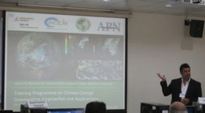
Climate Change Downscaling Approaches and Applications Training Program on Climate Change Downscaling Approaches and Applications (CCDAA) was held at Geoinformatics Center, Asian Institute of Technology from 9 – 20 November 2012. More than 50 participants from various countries attended Read More

Application of RS in Environmental Monitoring

Application of RS in Environmental Monitoring Geoinformatics Center organized a four day Workshop and Training on Application of Remote Sensing in Environmental Monitoring and Disaster Management in collaboration with the Department of Fisheries, Sabah, Malaysia. The program was held Read More

JAXA Sponsored Miniproject 2012 Phase I

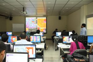
JAXA Sponsored Miniproject 2012 Phase I JAXA sponsored Miniproject 2012-2013 1st phase was held at Geoinformatics Center from 10th September to 28th September. Sixteen participants from eight countries  worked on their respective projects under the supervision of GIC staff. Read More

Wild Fire Detection and Climate Change Mitigation

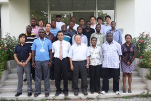
Wild Fire Detection and Climate Change Mitigation Geoinformatics Center jointly organized a 2 week technical workshop on Satellite Image Analysis for Wild Fire Detection and Climate Change Mitigation with Japan International Cooperation Agency (JICA), for Southern African Region. The Read More

8th Training Program on GIS for Disaster Risk Management

8th Training Program on GIS for Disaster Risk Management Geoinformatics Center jointly organized a 2 week training course with Asian Disaster Preparedness Center (ADPC), The International Institute for Geo-Information Science and Earth Observation, University of Twente (ITC) and UNITAR’S Read More