8th Training Program on GIS for Disaster Risk Management

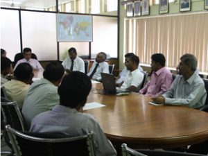
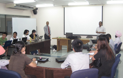
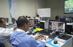
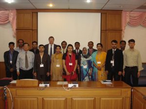
8th Training Program on GIS for Disaster Risk Management Geoinformatics Center jointly organized a 2 week training course with Asian Disaster Preparedness Center (ADPC), The International Institute for Geo-Information Science and Earth Observation, University of Twente (ITC) and UNITAR’S Read More

Optical and SAR Data Usage for Wetland Mapping

Optical and SAR Data Usage for Wetland Mapping GIC organized a 5 days highly technical training program on “Optical and SAR data usage for wetland mapping” for Central Environmental Authority (CEA) and other stakeholders of Sri Lanka under the Read More

Workshop on Image Analysis with ENVI 5.0

Workshop on Image Analysis with ENVI 5.0 GIC facilitated a 2 days workshop on Intuitive Image Analysis with ENVI 5.0. The workshop was conducted by the Exelis Visual Information Solutions; parallel to the launch of ENVI 5.0. The core Read More

Training on Application of Microwave Remote Sensing

Applications of RS for Topographical Mapping The 3-days customized professional development training program was organized in Colombo for the licensed surveyors with the close coordination of Surveyor Association of Malaysia (PEJUTA). Microwave Remote Sensing is also called as synthetic Read More

Applications of RS for Topographical Mapping

Applications of RS for Topographical Mapping GIC in collaboration with PASCO/ FINNMAP organized a four week training program on “Applications of Remote Sensing for Topographical Mapping” . The program was held at Srinakharinwirot University, Bangkok. The training was carried Read More