Land Use/Land Cover Changes and Flood Risk Assessment in Cambodia using Remote Sensing and GIS
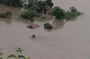
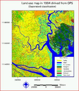
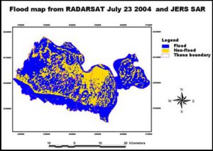
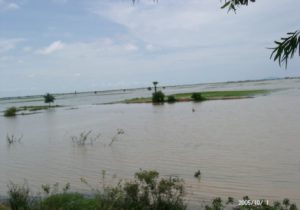
Land Use/Land Cover Changes and Flood Risk Assessment in Cambodia using Remote Sensing and GIS Year: 2005-2006Country: CambodiaLocation within country: Prey Veng, Kandal, and Kampong Cham provinces Descriptions The objectives of this project were: 1) To prepare landuse and Read More