Area : Pacific Island Nations Client : UNESCAP Start Year : Jun 2016 End Year : Mar 2018 Partners : BMKG, Indonesia
Strengthening Multi-hazard Risk Assessment and Early Warning Systems with Applications of Space and Geographic Information Systems in Pacific Island Countries
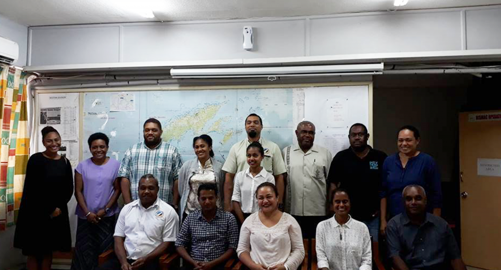
The project aimed at strengthening multi-hazard risk assessment and early warning systems of Pacific Island Countries (PICs) by enhancing the capacities of responsible agencies/institutes through
Capacity building on geo-spatial technologies, Numerical Weather Prediction (NWP) modelling and early warning through Common Alerting Protocol (CAP)
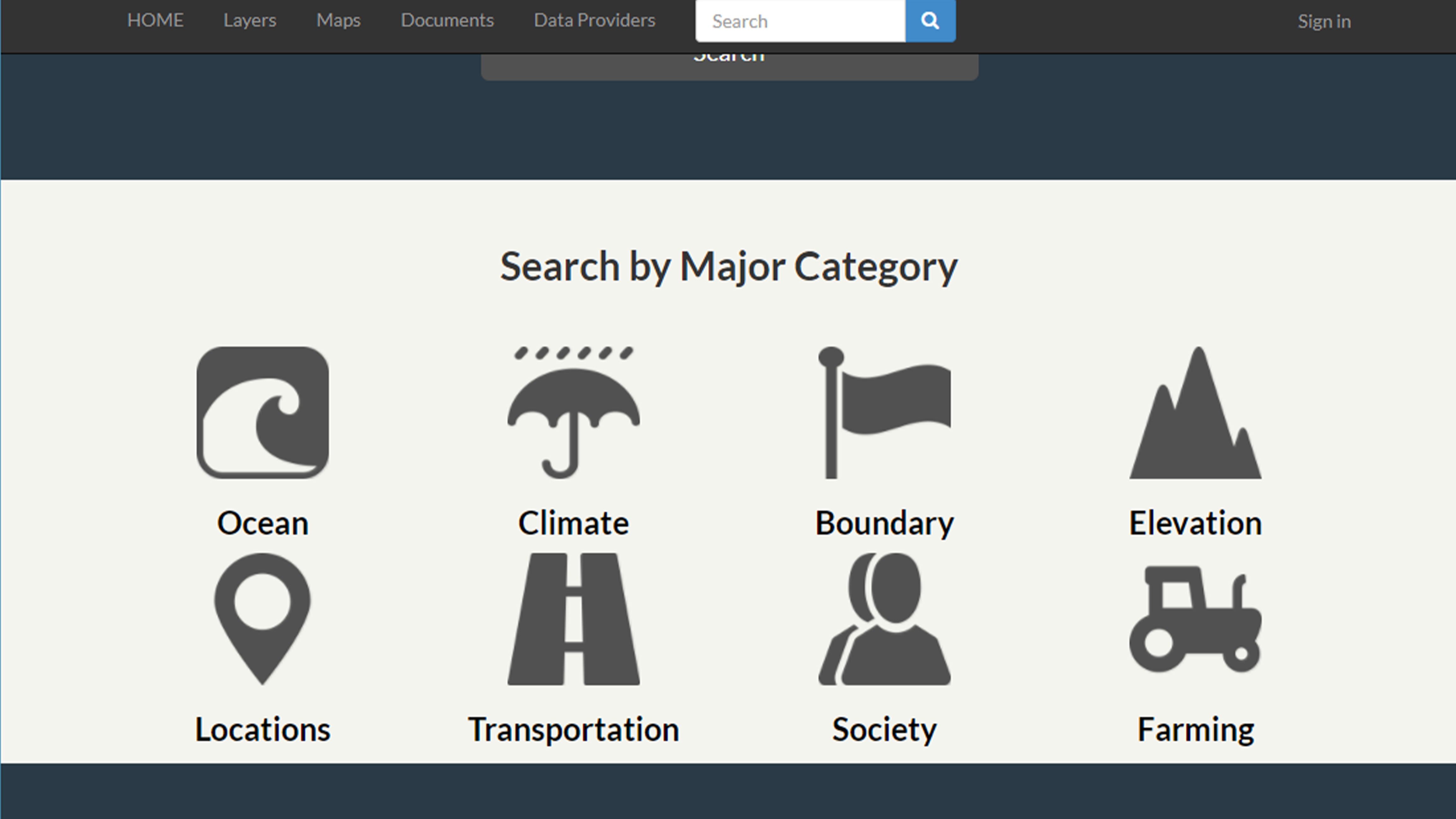
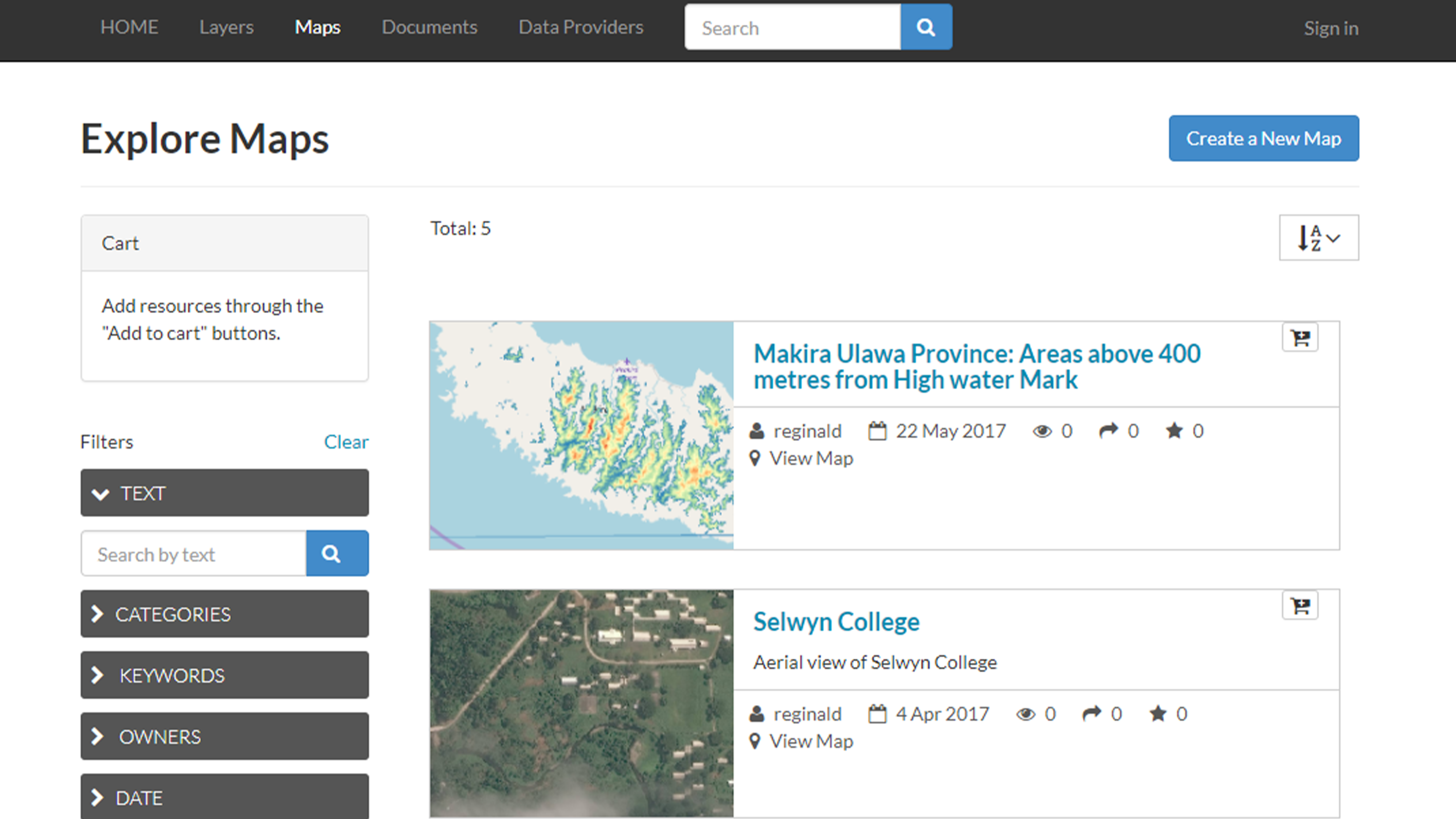
Deploying geospatial data sharing platforms for disaster risk management (Geo-DRMs) in the Pacific region; and
Operationalizing if Numerical Weather Prediction model called WRF.