Area : Vietnam Client : JAXA Start Year : April 2008 End Year : March 2009 Partners : –
Flood Damage Assessment Integrating Geospatial Technologies - A Case Study in Hue City, Vietnam
The project aimed at delineating the flooding extent, mapping the elements at risk of the affected area and assessing the flood damage quickly using the modern geospatial technologies such as remote sensing and GIS.
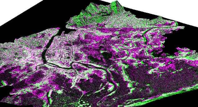
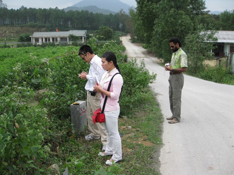
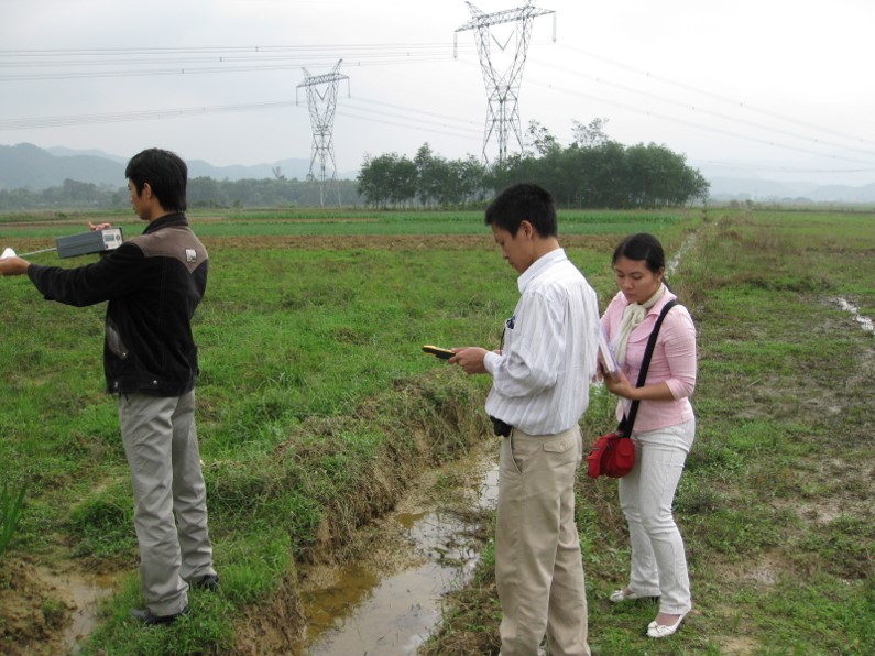
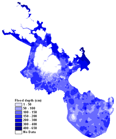
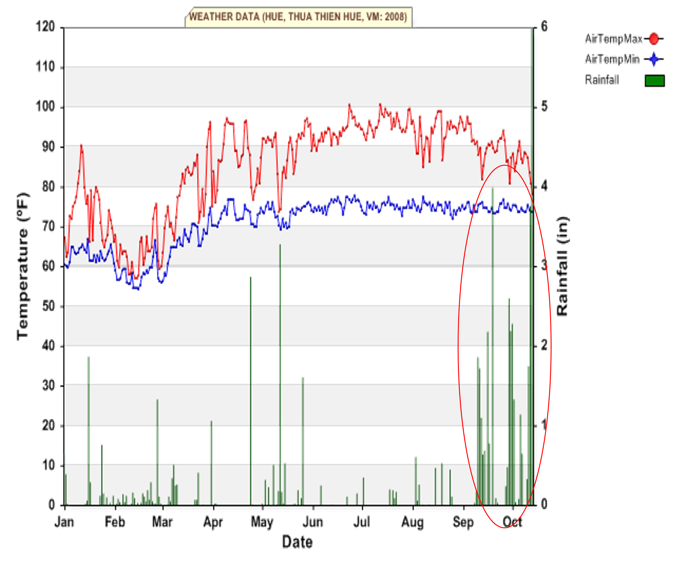
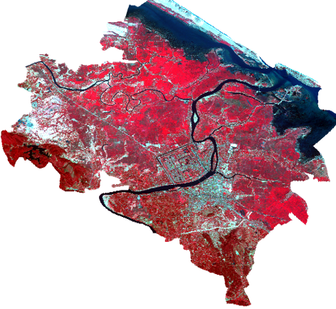
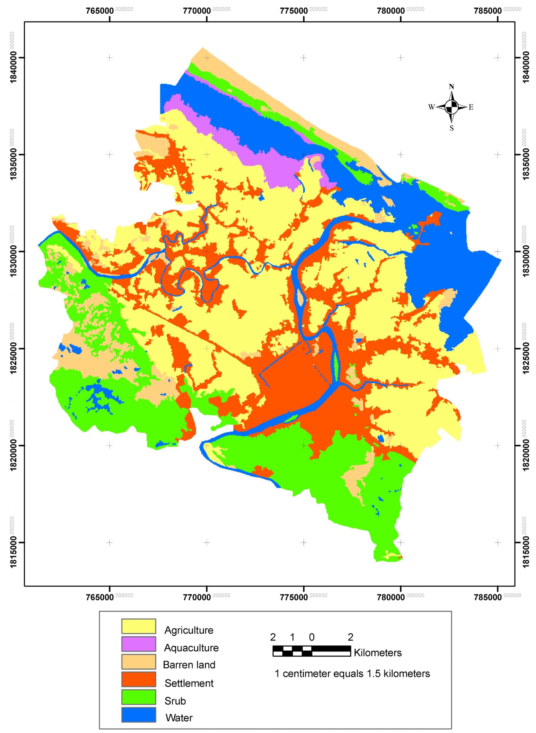
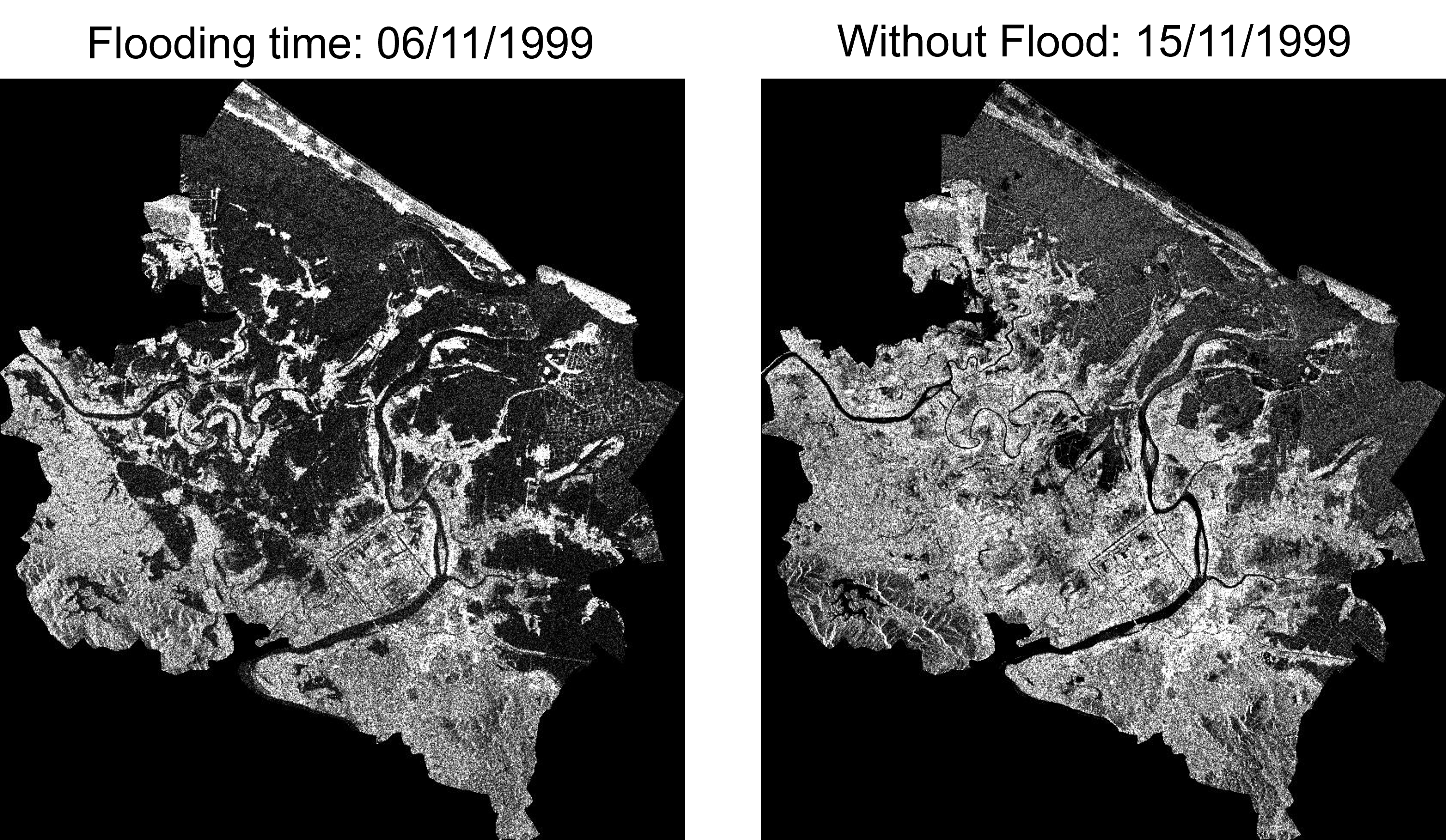
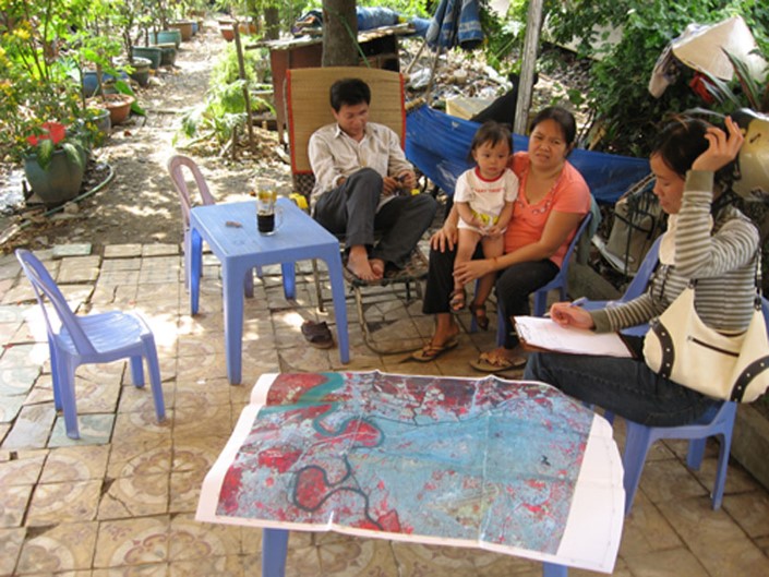
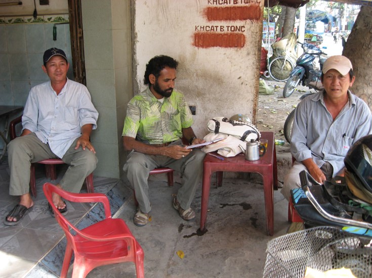
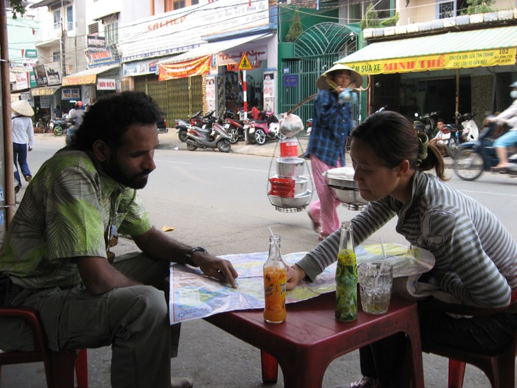
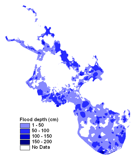
The study area, Hue city is located in the central part of Vietnam, and it is highly vulnerable to flooding owing to its location, topography and climatic factors. With its spectral characteristics in the water bodies, RADARSAT image acquired during the 1999 extreme event were used to delineate the flood affected areas in the study area. The ALOS/AVNIR-2 optical image of the same area, acquired during dry seasons were also used for this purpose. Filtering techniques were first used to reduce the speckle in RADARSAT image. Multi-spectral optical images were used for landcover and landuse classifications using the supervised classification technique. Ground truth data collected during a field visit was used for this purpose. Finally, damage curves corresponding to designated landuse classes were prepared and a GIS analysis was carried out for estimating the total damage in the study area. It was found that if damage curves are available for a particular study area, rapid damage assessment can be done using satellite images.