
Area : Vietnam
Client : JAXA
Start Year : April 2011
End Year : March 2012
Partners : –
Rapid Flood Mapping in Hue Province of Vietnam for Emergency Response and Rescue Using Satellite Images
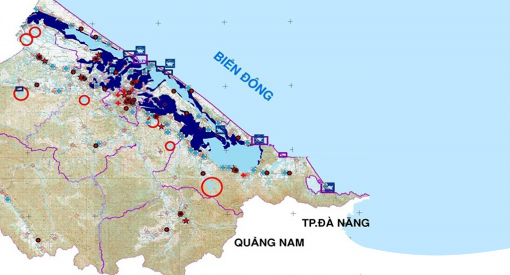
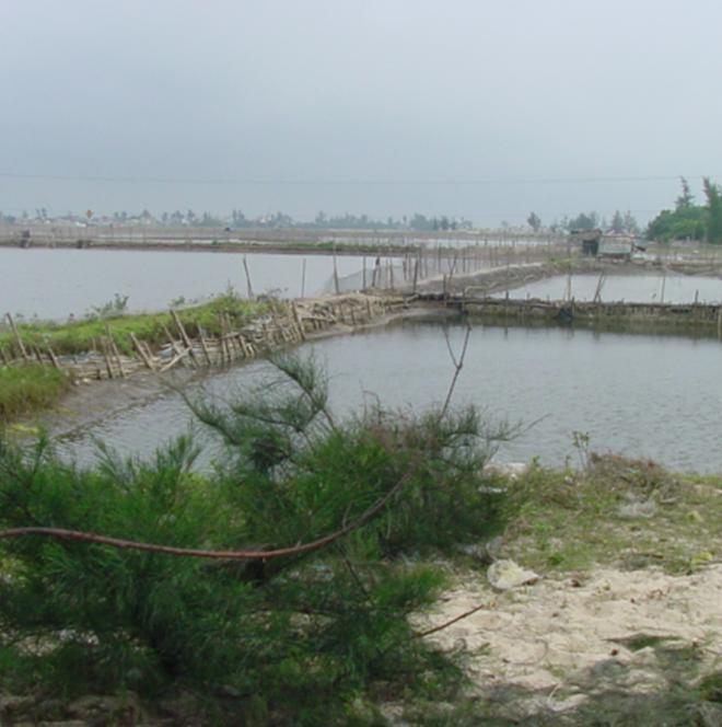
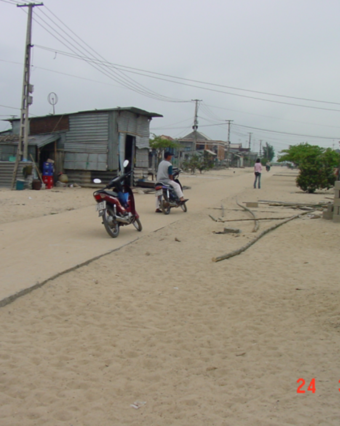
The project’s objectives were to develop a methodology for rapid mapping using ALOS/PALSAR for emergency response and rescue. ALOS/PALSAR data was used in this study and made available through the Sentinel Asia emergency observations requests. The study area of the project is located in the province of Thua Thien Hue in the central part of Vietnam, which is flooded almost every year.
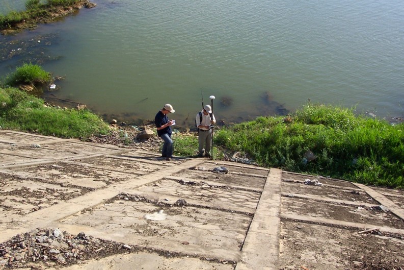
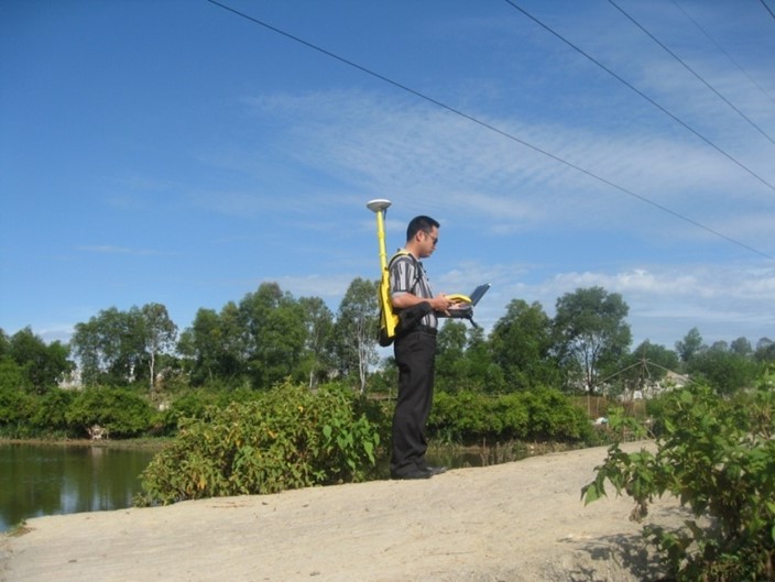
ALOS/PALSAR images of the dry season and during a flood were first co-registered and then converted from amplitude to decibel values. The difference in decibel values between these two images at the pixel level was calculated by subtracting one image from the other. A threshold of 3 decibels was applied to the image difference, which was then masked, assuming that the flood caused a significant change in the backscatter values. In addition to this, the existing GIS data layers of important places and evacuation points were overlaid with the generated flood map to provide more information to emergency rescue and response teams. The flood map was then verified with the field and ancillary data, and the results were quite satisfactory. Later, the whole process was repeated, and it was found that the entire data processing workflow to produce a flood map took nearly one and a half hours.
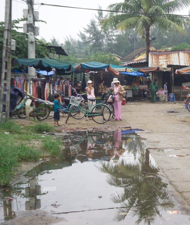
In this study, it was found that the flood affected most of the industrial and residential areas. The threshold method used in this study was accurate and much easier to implement than modeling, which requires many other types of data. It can also be implemented in areas with no good DEM and isolated flooding caused by storm surges or local rainfall.