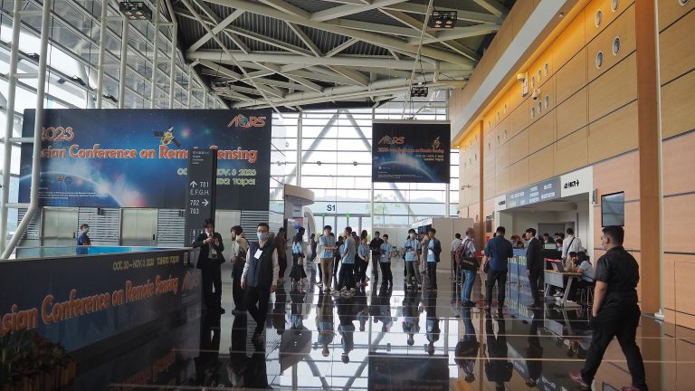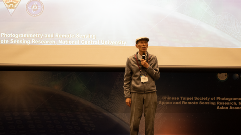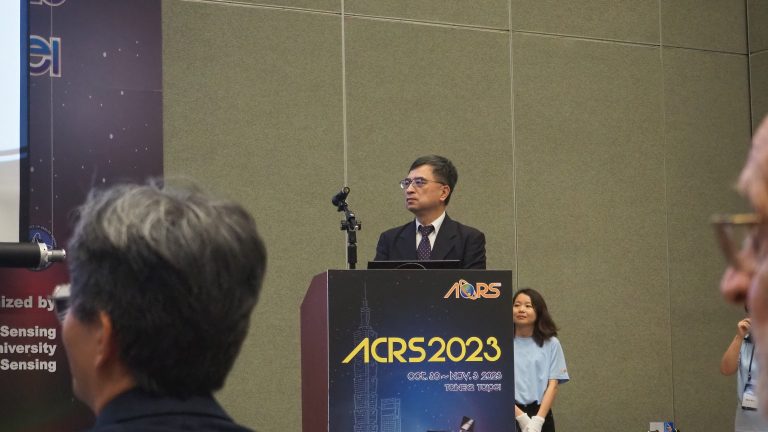
Asian Conference on Remote Sensing (ACRS) is an official technical meeting and longest running annual gathering of the Asian Association on Remote Sensing (AARS). This year, ACRS was being held as the 44th ACRS event which was held in Taiwan. The conference was cordially organized by National Central University, Taiwan – Center for Space and Remote Sensing Research (CSRSR), Chinese (Taipei) Society of Photogrammetry and Remote Sensing, and Asian Association on Remote Sensing. ACRS 2023 was held from 30th October to 4th November 2023.
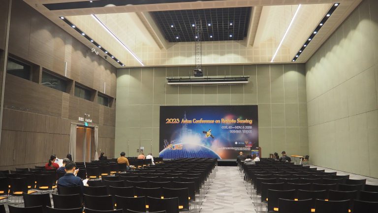
The conference was held in 57 sessions which contained paper and poster presentation among the researchers and industries related to the remote sensing technology. The event mainly focused on the improvement and novelty among the Asian countries, but not limited to the global scale from the different regions. This year, GIC was participating under the plastic portfolio initiatives.
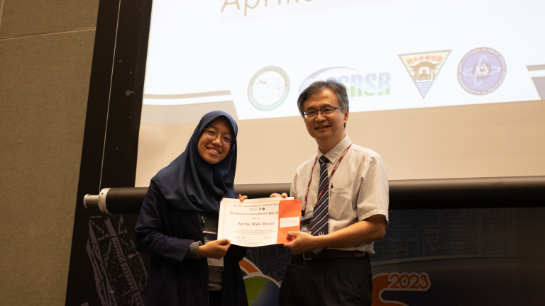
GIC was participated and represented by research associate Aprilia Nidia Rinasti. Through the development and extensive working portfolio in plastic pollution, GIC’s presentation titled “Developing Integrated Modelling and Mapping Techniques for calculating plastic leakage to the waterway for National Action Plan” shared the working development in Myanmar. The session was under Hydrology session, which was chaired by Prof. Yoshiyuki Imamura from Tokyo Metropolitan University, Japan. If you are in the market for superclone , Super Clone Rolex is the place to go! The largest collection of fake Rolex watches online!
Aprilia explained and showcased the initiatives of working portfolio of plastic pollution monitoring, which was also presenting the full paper on the topic. The paper was about the development of mapping methodology using GIS and remote sensing mapping methods to improve policy making in the city level. In this paper, Myanmar was the study case which was also the development work under the project with Japan-ASEAN Integrated Fund.
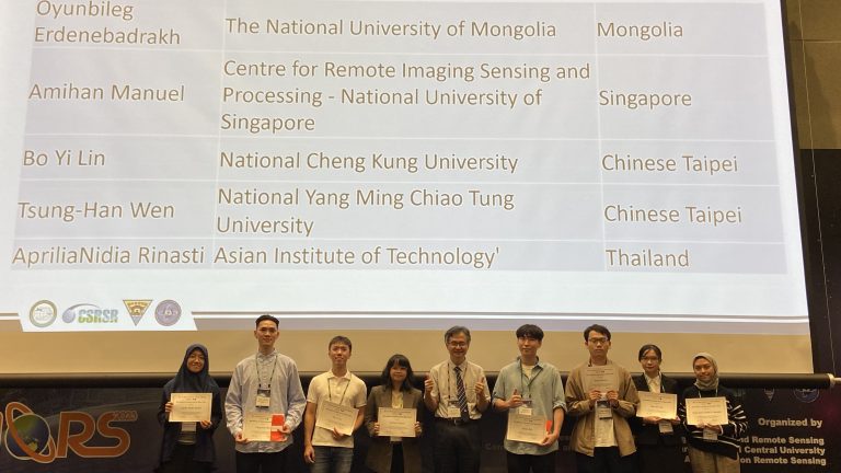
The remarkable work of GIC in plastic pollution monitoring by utilizing the data from remote sensing satellite and GIS, acknowledged as the best paper under student and young scientist category. The groundbreaking innovation from GIC was regarded as outstanding ideas on utilizing mapping technologies and policy in the certain issue.
GIC was also recognized as the active contributor to the disaster response under the JAXA’s initiatives on the Sentinel Asia. Presented by Dr. Terada Koji as the Vice President of JAXA, he presented the map delivered by GIC as the remarkable contribution in disaster risk management.