Real-time Crop Monitoring System Using Satellite Data (RECENT)
Descriptions
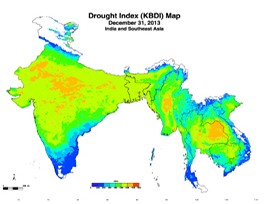
Availability of large number of free satellite data has made it possible to obtain near real-time information on rainfall, land surface temperature, land surface water content, drought, vegetation index etc. The Real-time Crop Monitoring System Using Satellite Data (RECENT) obtains all such freely available data from various sources and present them at national and sub-national level.
For more information visit http://iis.gic.ait.ac.th/
Remote Sensing and GIS

