Asia and the Pacific Region is one of the regions which frequently face numerous natural disasters. Thus, the use of information and technological potential in disaster risk management are quite unique due to the rapid facilitation of information flow in real-time situations. The role of digital technology in all phases of disaster risk management has become an essential modern component to enhance reduction of risks, disaster resilience, and preparedness and response. The full potential utilization of current ICT can be achieved for individuals and government institutions to be capable of integrating to components of multi-hazard risk assessment.
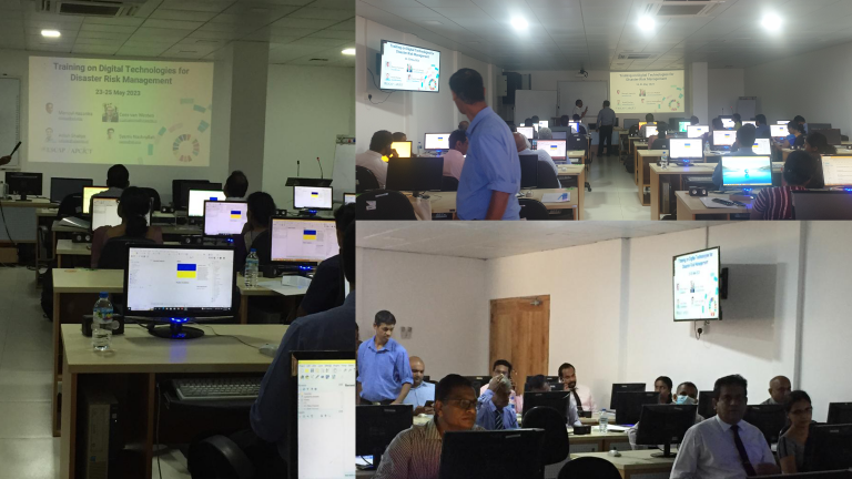
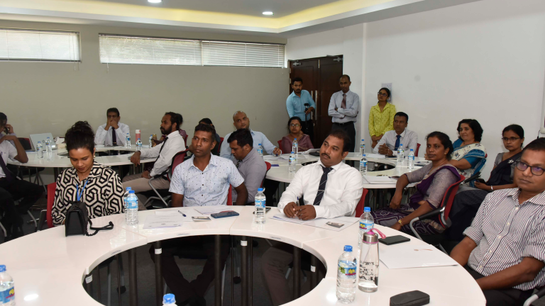
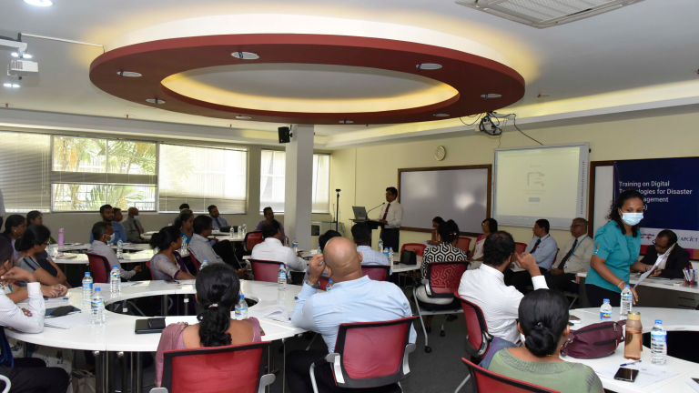
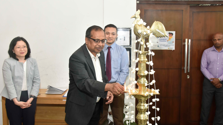
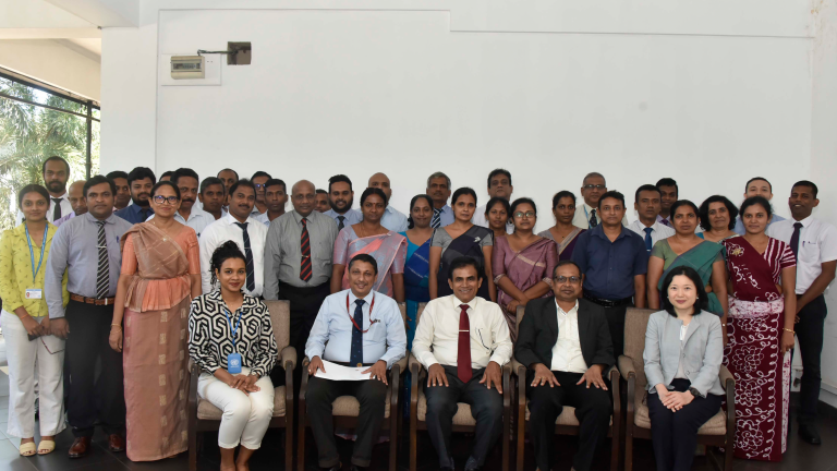
For this capacity strengthening endeavor in Sri Lanka context, Geoinformatics Center of Asian Institute of Technology (GIC-AIT) and UN-ESCAP/APCICT, in partnership with World Food Programme Sri Lanka (WFP-Sri Lanka) and Sri Lanka Institute of Development Administration (SLIDA) and ITC-University of Twente have conducted national training for Sri Lanka capacity building at SLIDA Building in Colombo from 23 – 25 May 2023. The three-day hybrid training session, both conceptual and practical, was delivered to Sri Lankan government officials, and correspondents from several national agencies to achieve:
- Familiarization with Disaster Risk Management (DRM) concepts.
- Understanding of Risk Assessment conduct and its application to risk mitigation at various levels.
- Use of ICT in community-based preparedness planning, shelter planning, establishment of early warning system and impact-based forecasting.
- Awareness of publicly available satellite-based resources, remote sensing data and products for emergency mapping purposes.
- Knowledge of ICT’s role in supporting disaster recovery and damage assessment (e.g., mobile apps, robots).
GIC-AIT has facilitated the capacity training programme with the aid of open-source tools such as utilizing web-based platform called RiskChanges (https://riskchanges.org) for spatial-decision support tool for dynamic multi-hazard risk assessment, creating an initial approximation of a flood hazard map for specific locations in Sri Lanka using Fastflood App (https://fastflood.org/), creating landslide susceptibility map using QGIS software and the SZ plugin. Online courses were offered via the online platform CANVAS which individuals can access the training materials online, offering self-paced learning opportunities to participants.
ESCAP/APCICT: https://www.unapcict.org/news/training-digital-technologies-disaster-risk-management-sri-lanka-0
Online Course: https://canvas.instructure.com/courses/6800491.