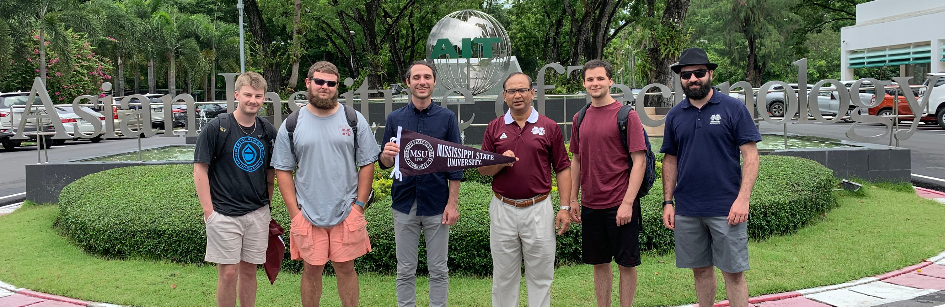
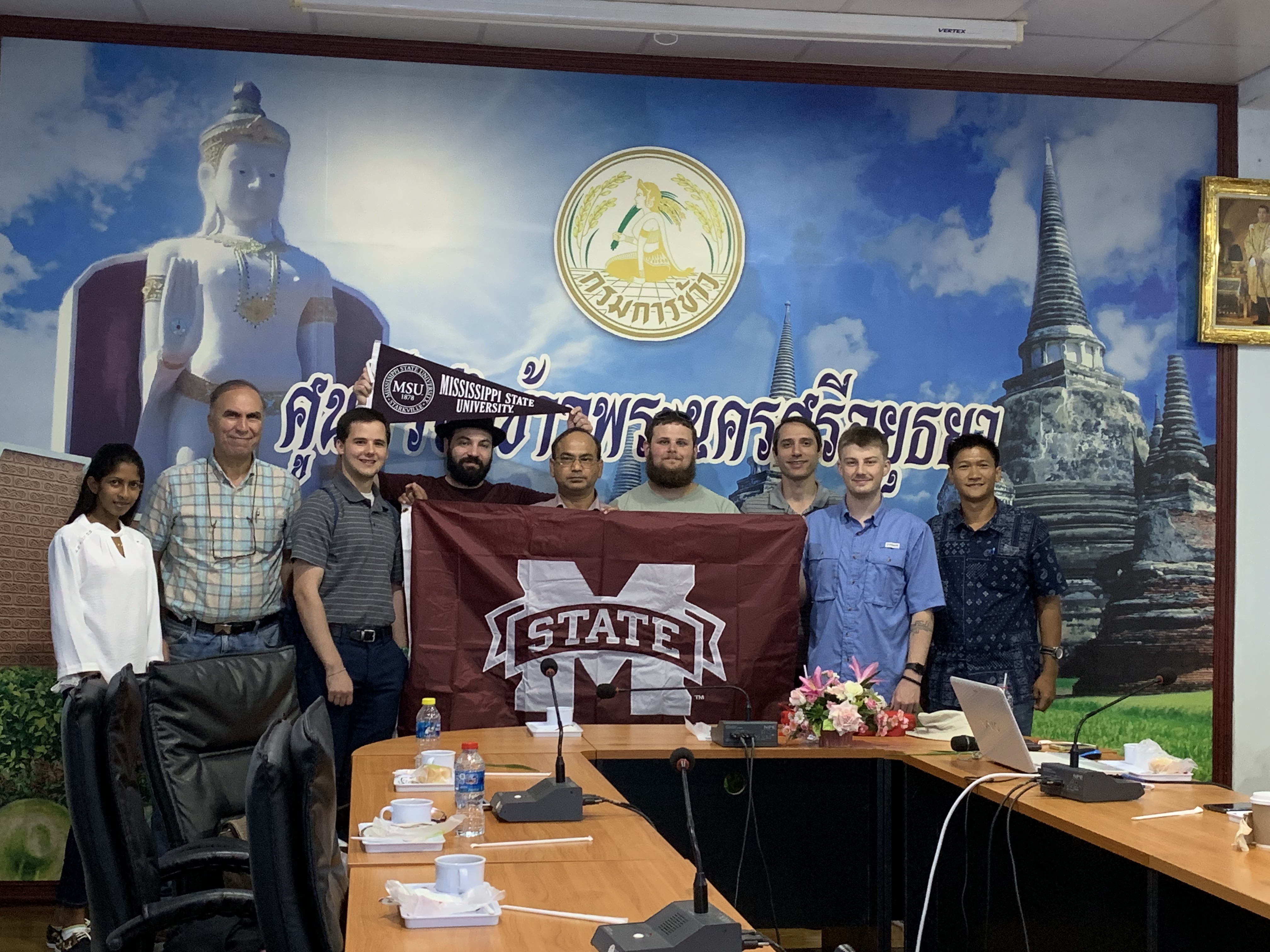
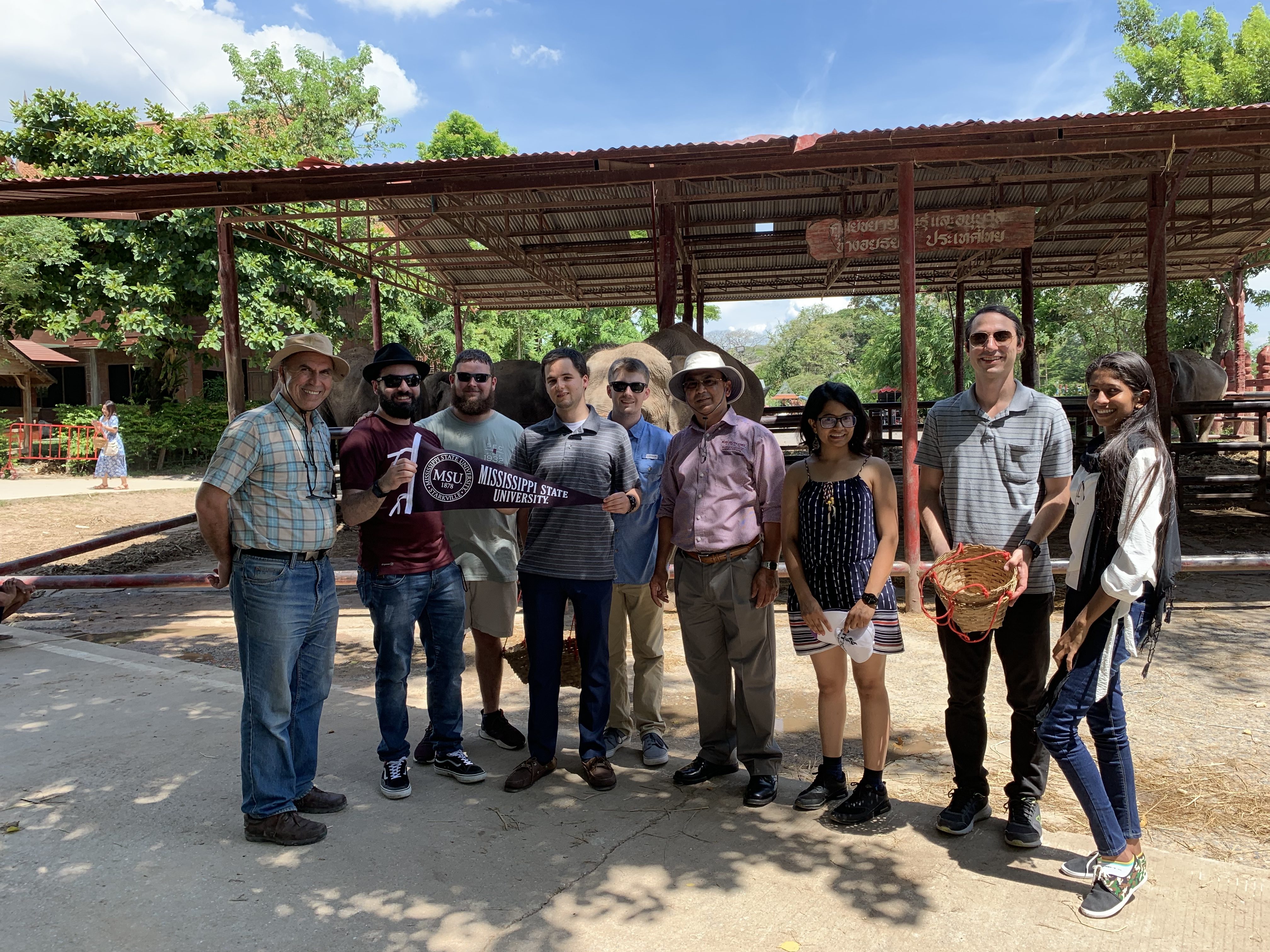
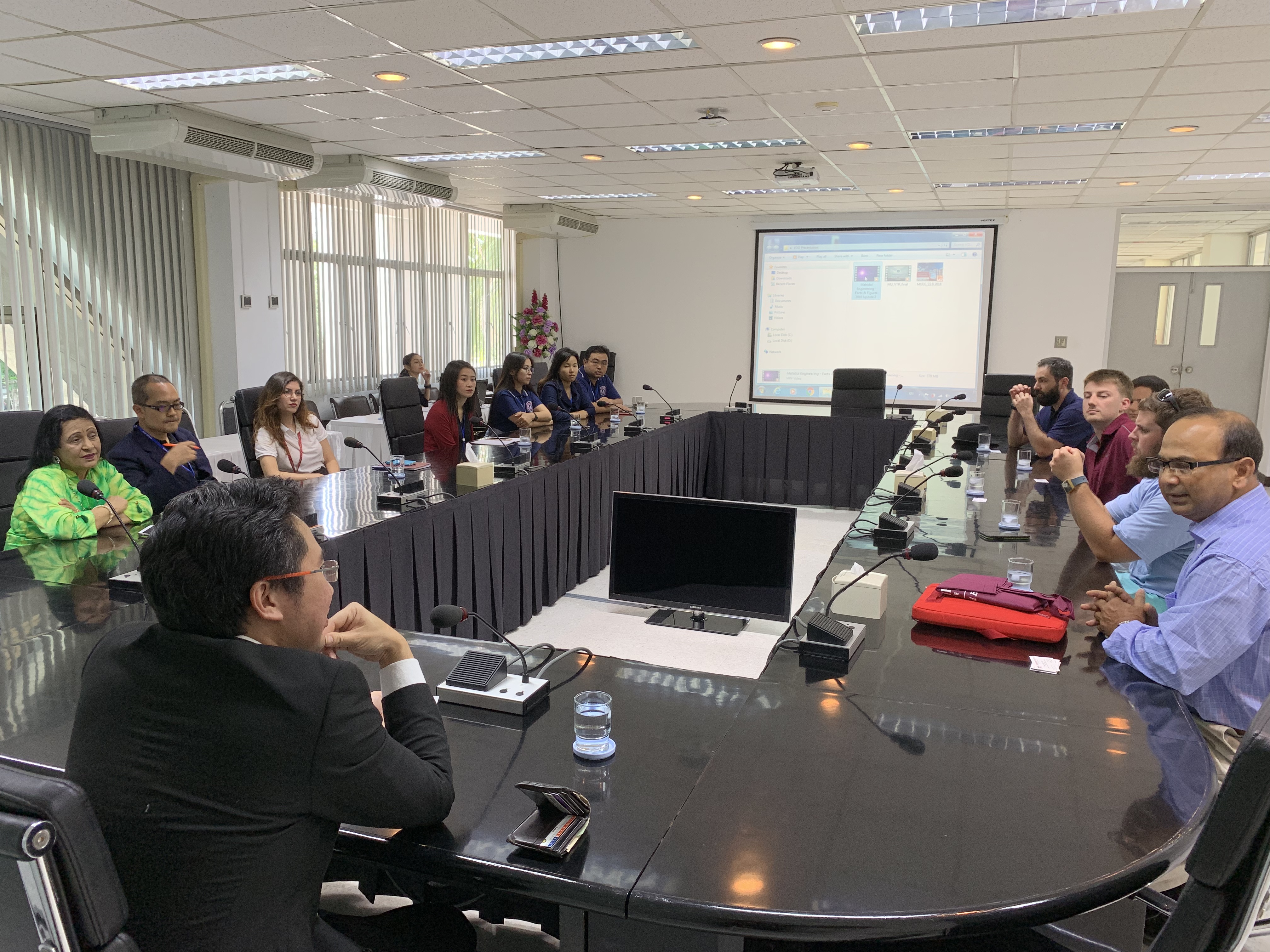
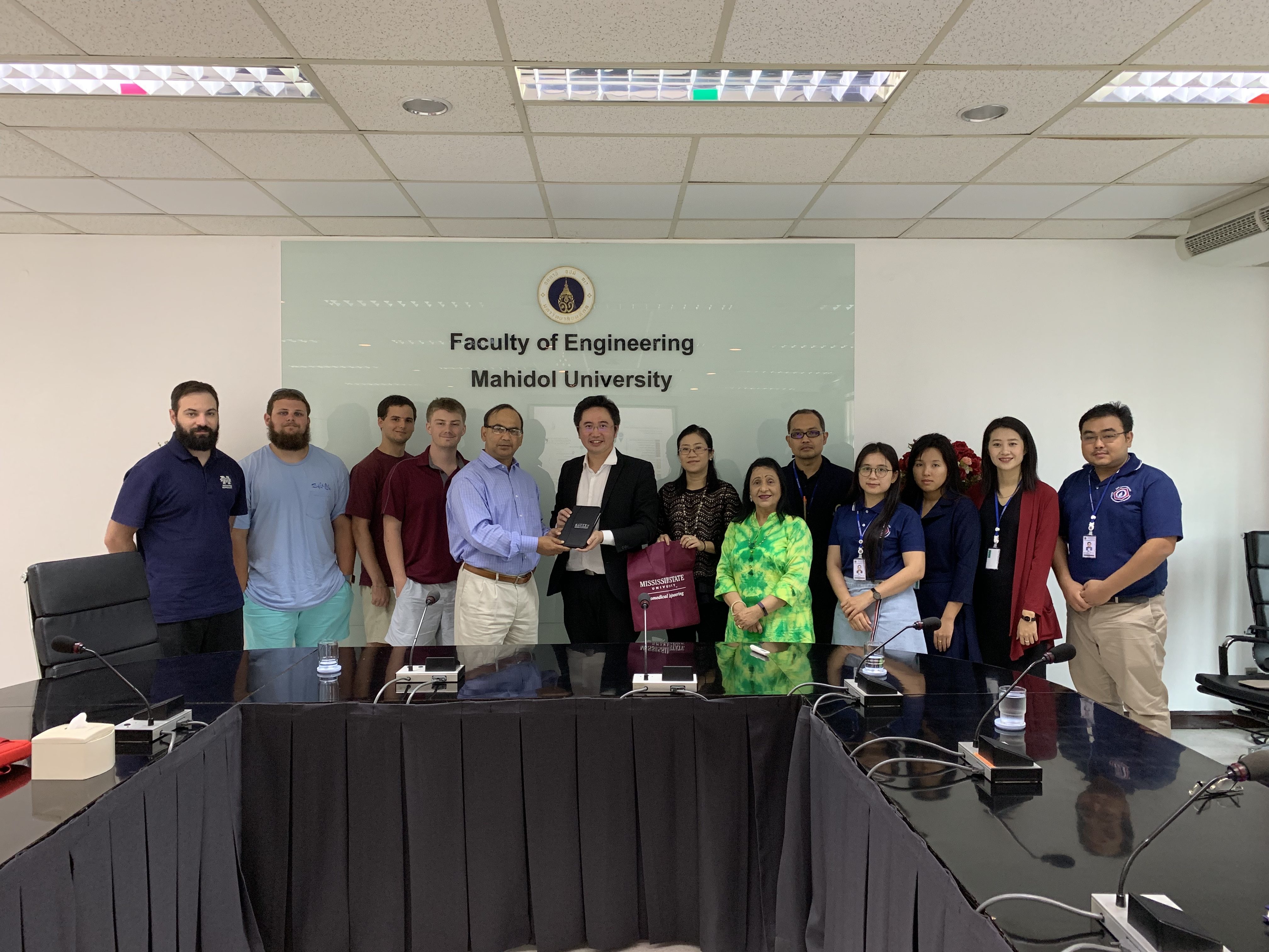
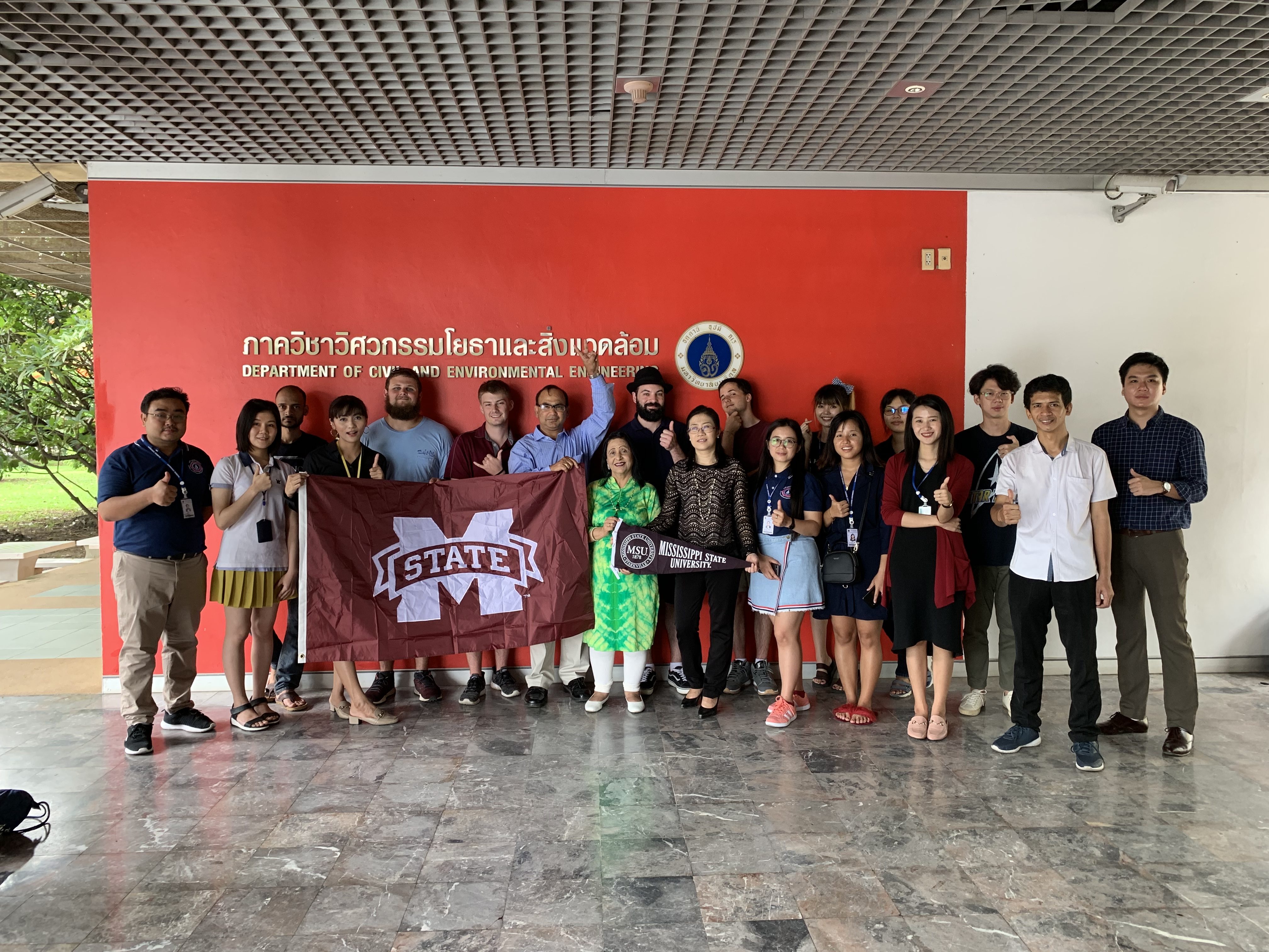
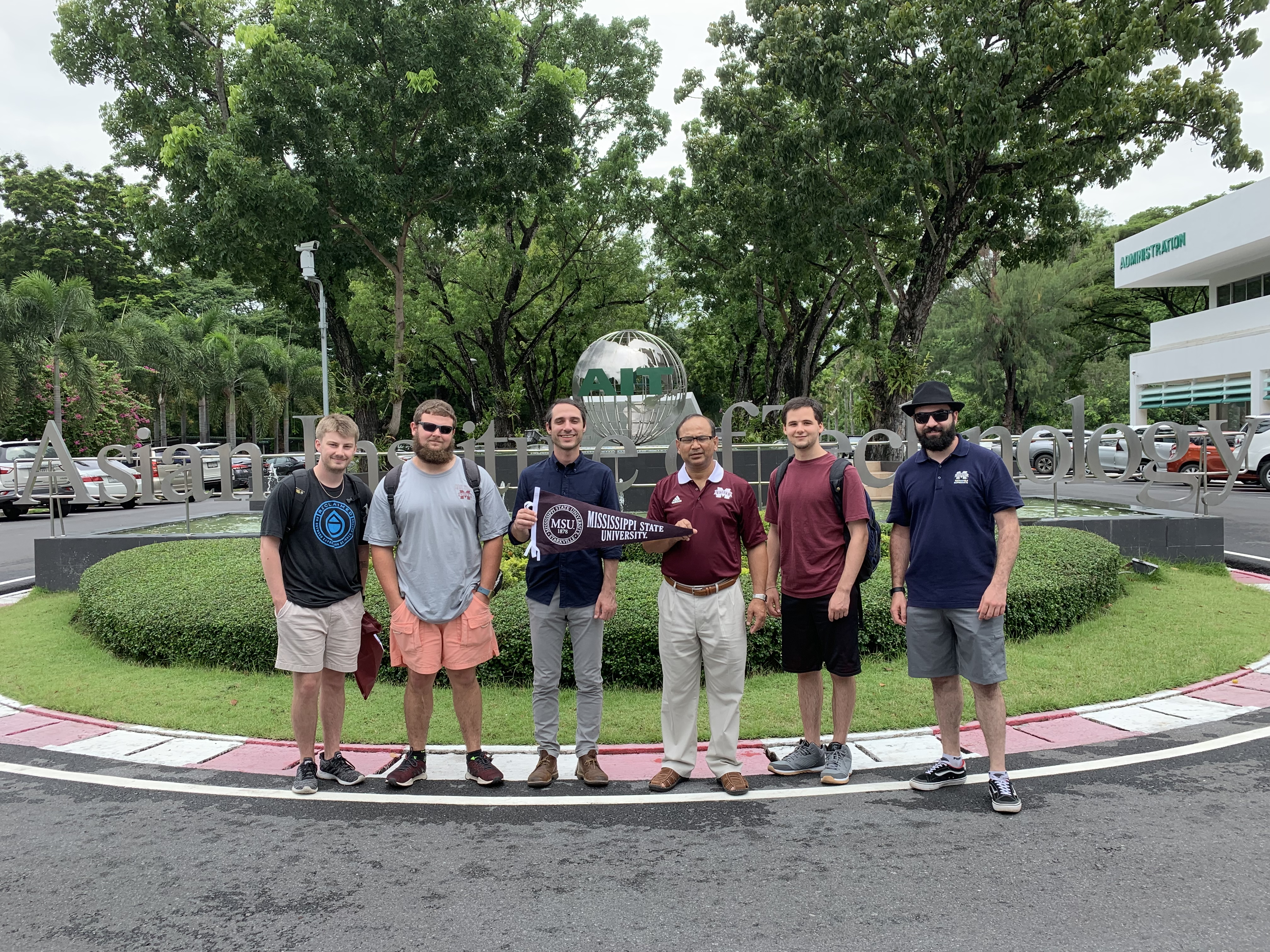
A group of students from Mississippi State University’s Bagley School of Engineering participated in a study abroad program at AIT’s GeoInformatics Center from May 31 – June 23, 2019.
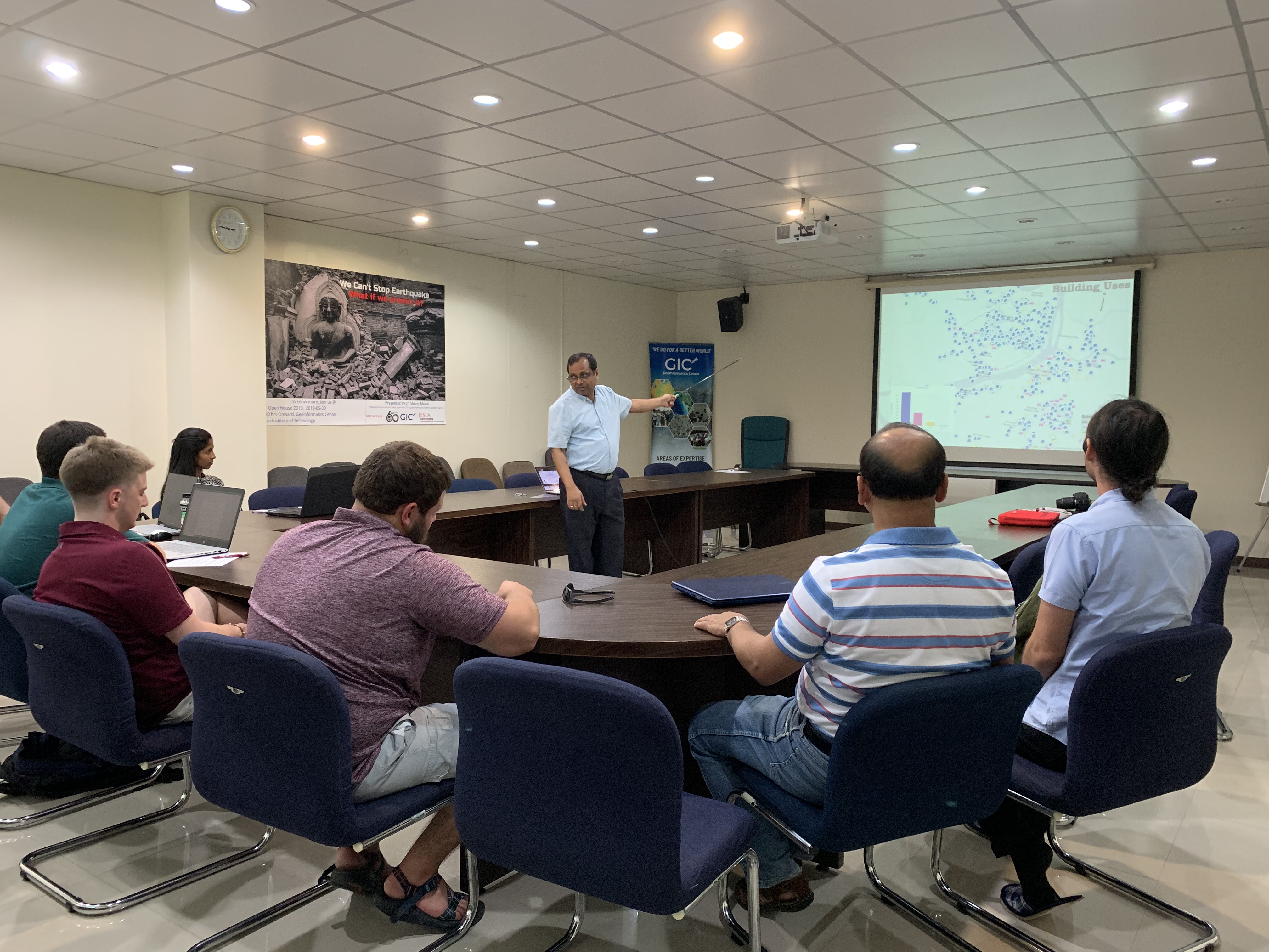
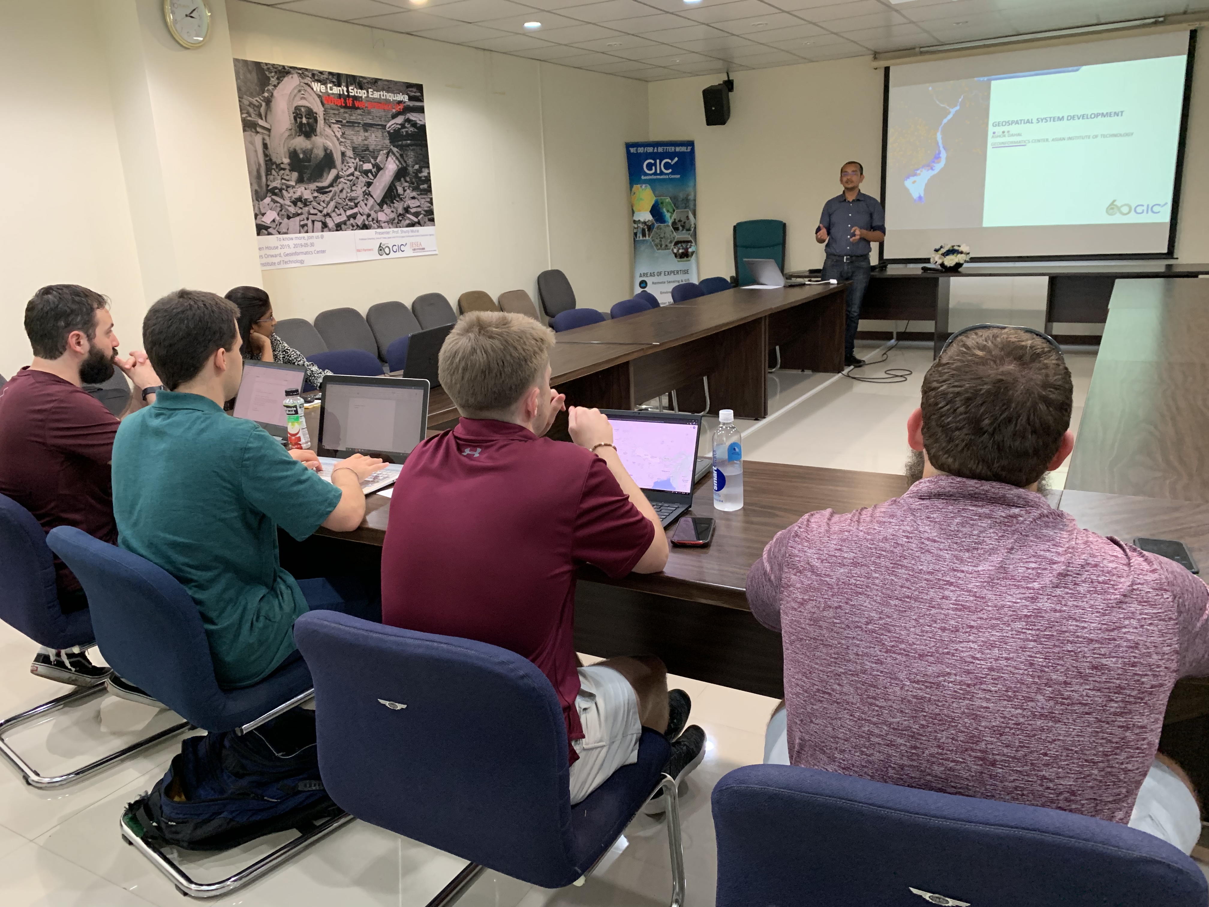
The three-week program focused on the global perspective of resource planning. GIC staff delivered lectures in a wide range of geoinformatics applications including drought modelling, flood mapping, and crop monitoring. Practical sessions accompanied the lectures, including sessions on agricultural mapping with MODIS imagery and best practices for producing cartographic deliverables.
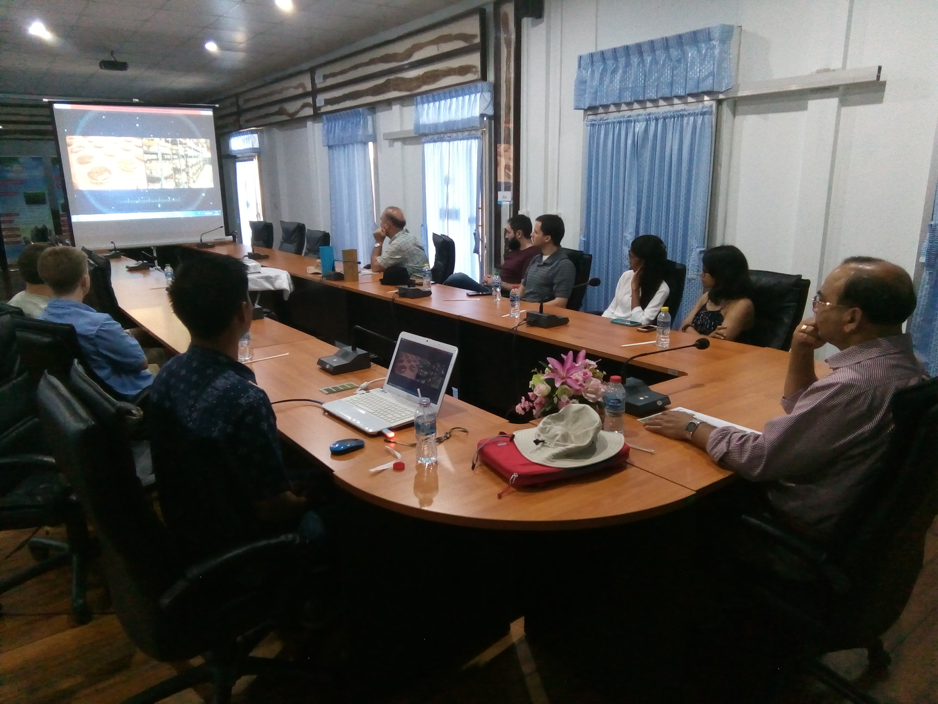
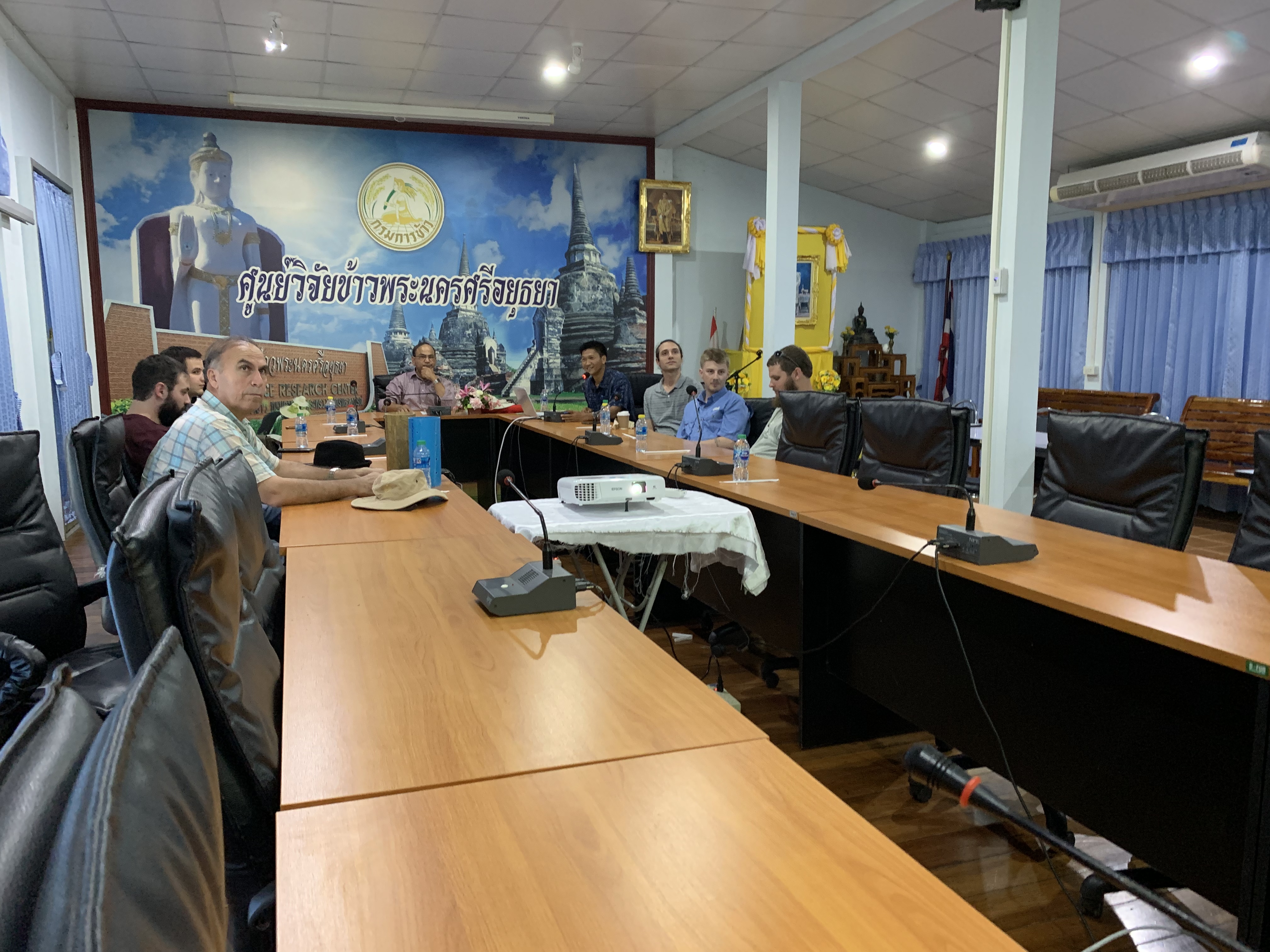
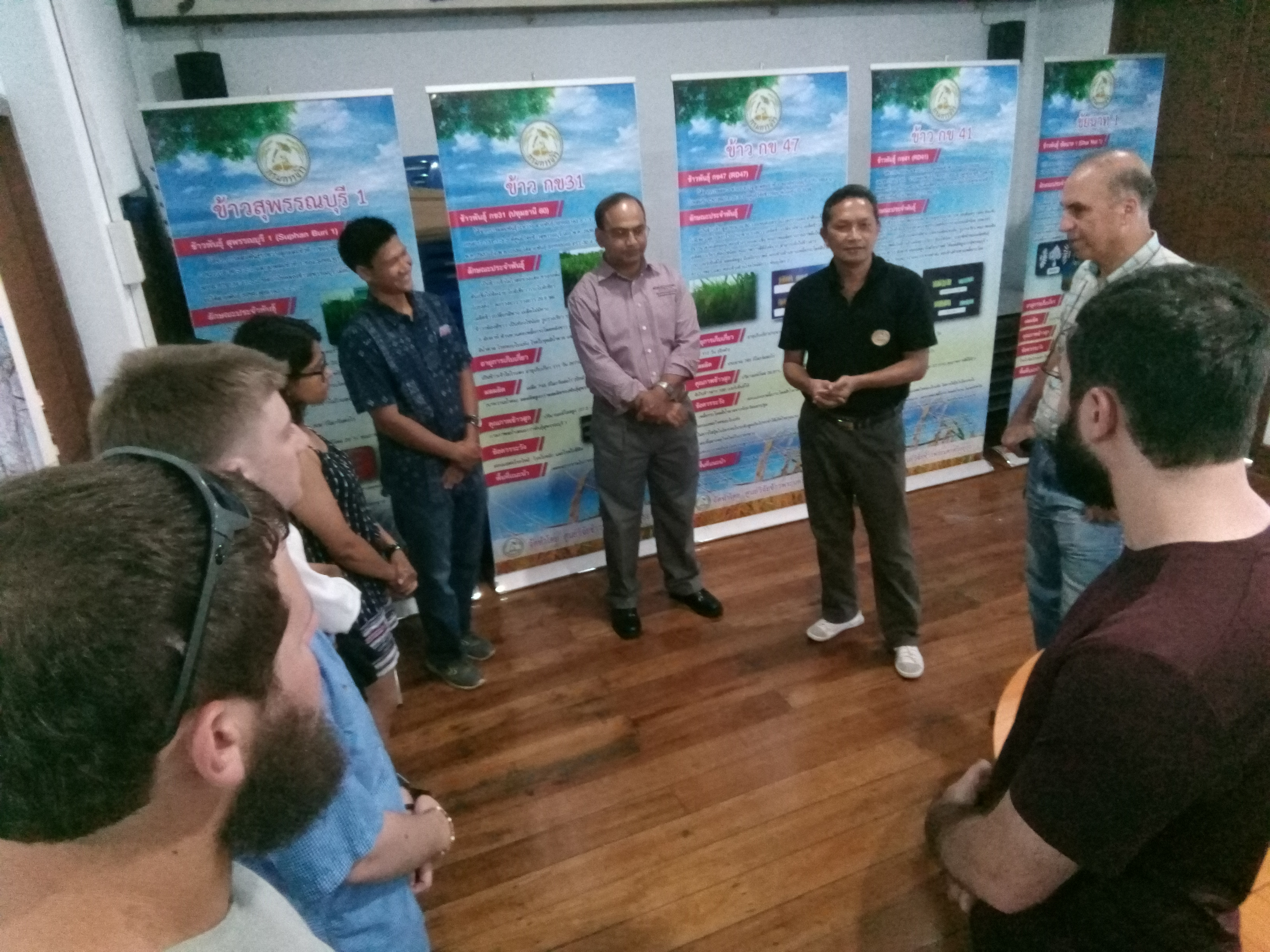
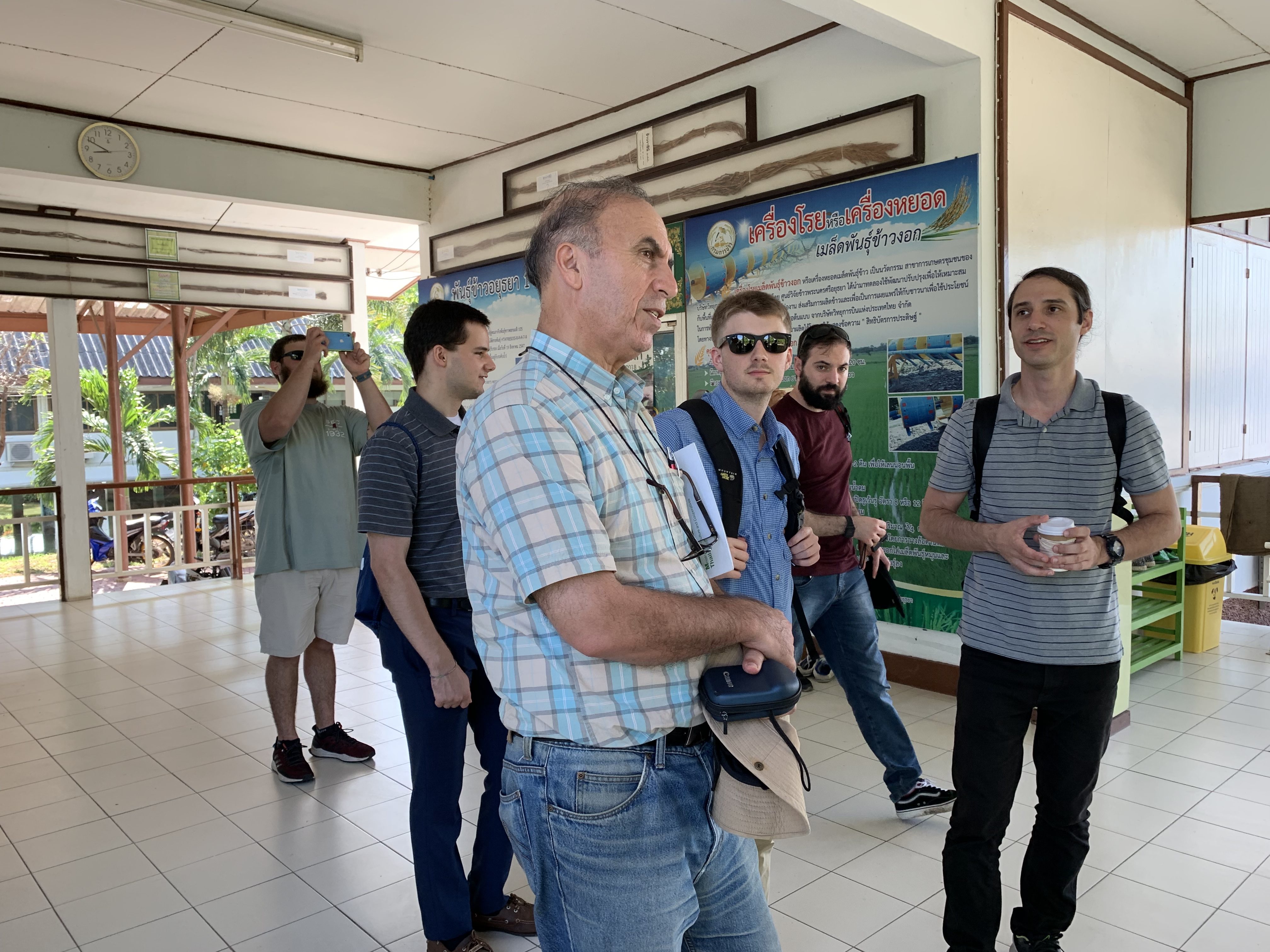
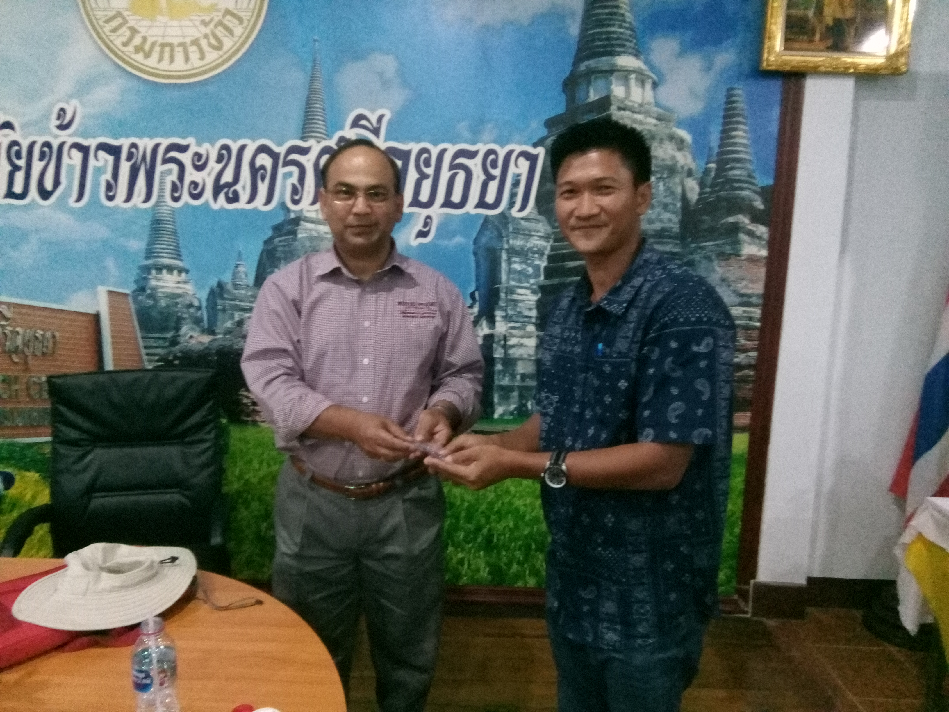
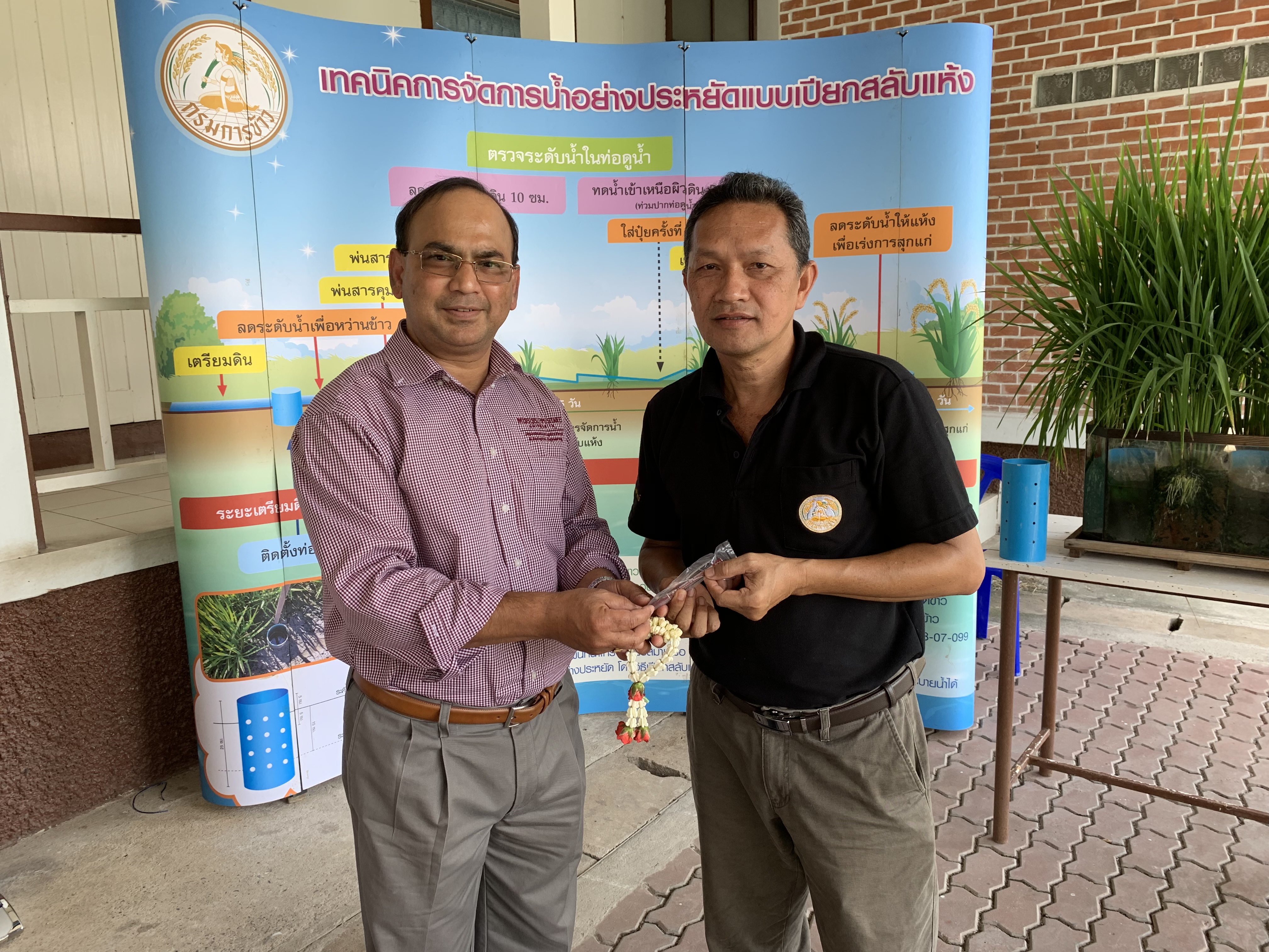
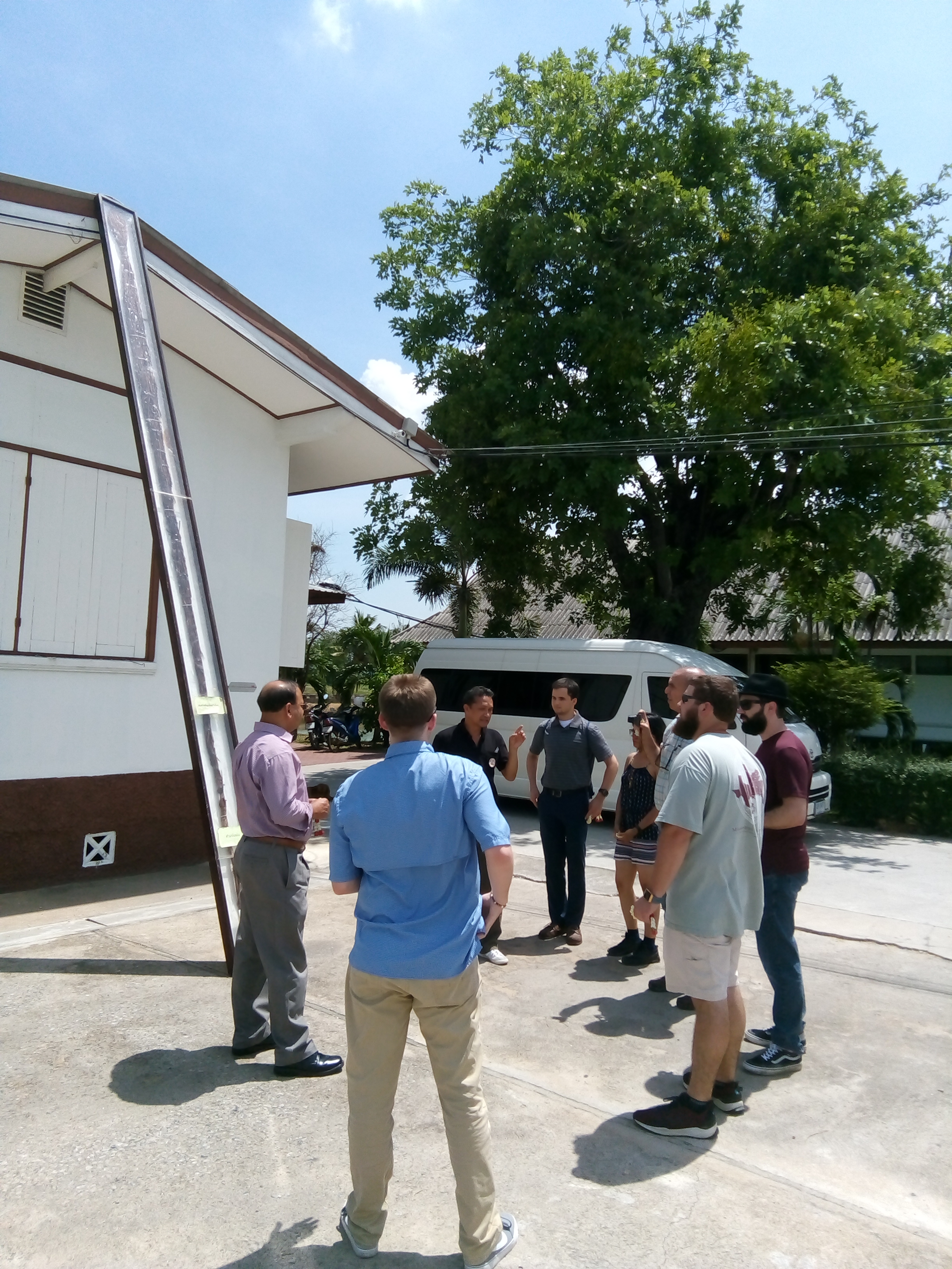
Beyond the classroom the group made a field visit to the Ayuthaya Rice Research Center. Mr. Kritkamol Paothong, Head Agricultural Research Specialist, gave a welcome from the Center and reviewed the latest innovative technology being used for rice cultivation. Center Director Mr. Pisit Pornmanarot also joined to explain about Pathum Thani’s floating rice paddies and to present Thailand’s record-holding longest rice plant.
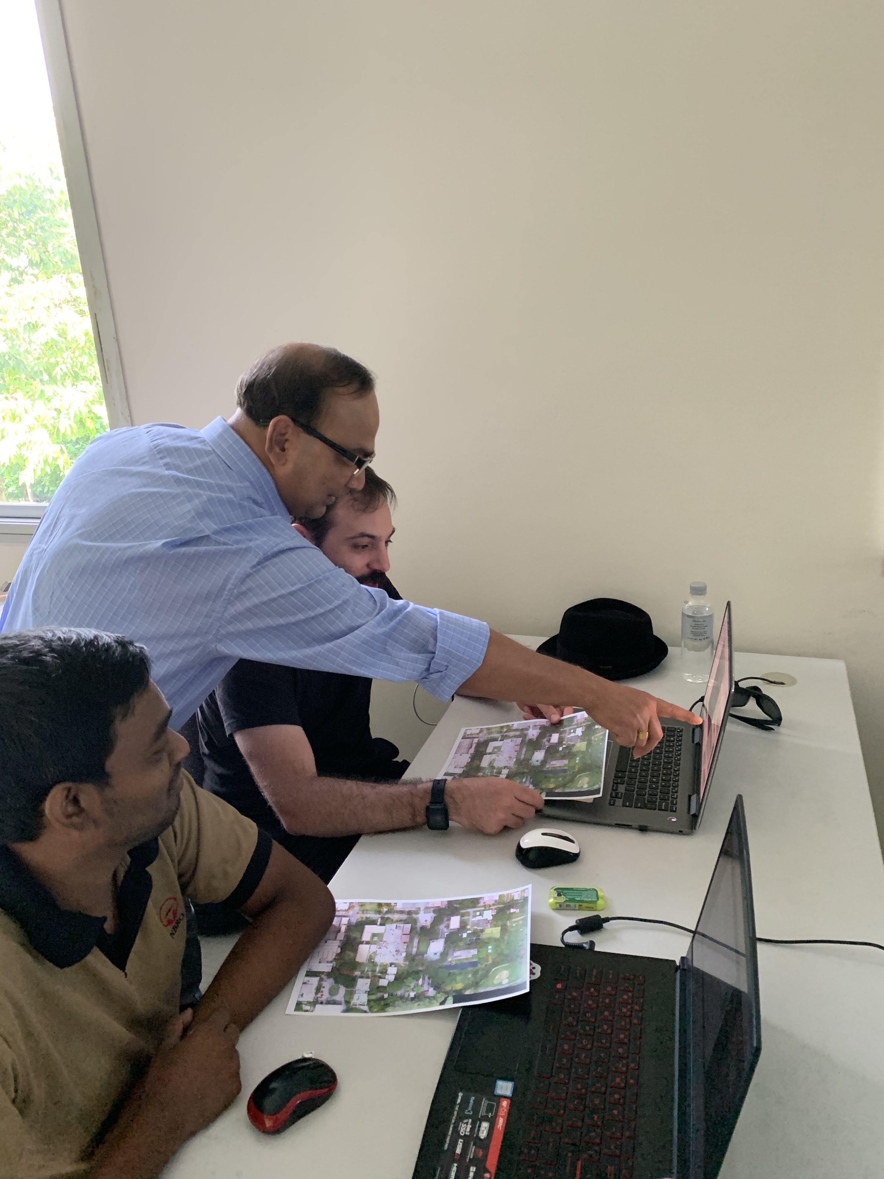
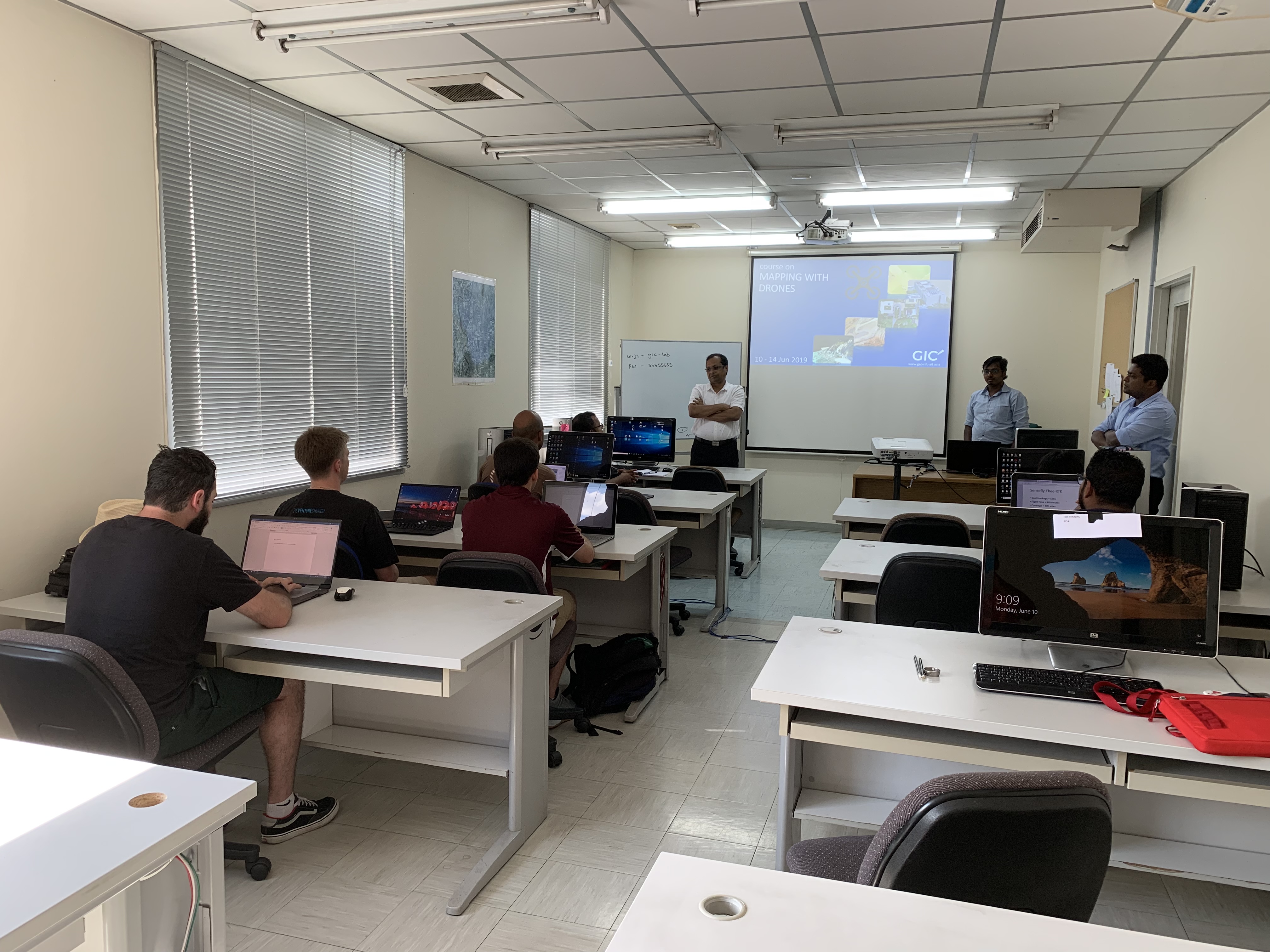
The group also participated in a drone training course at the GeoInformatics Center during the second week of the program. GIC staff led sessions on aerial image acquisition theory, basic drone maneuvers, flight planning, and image processing.
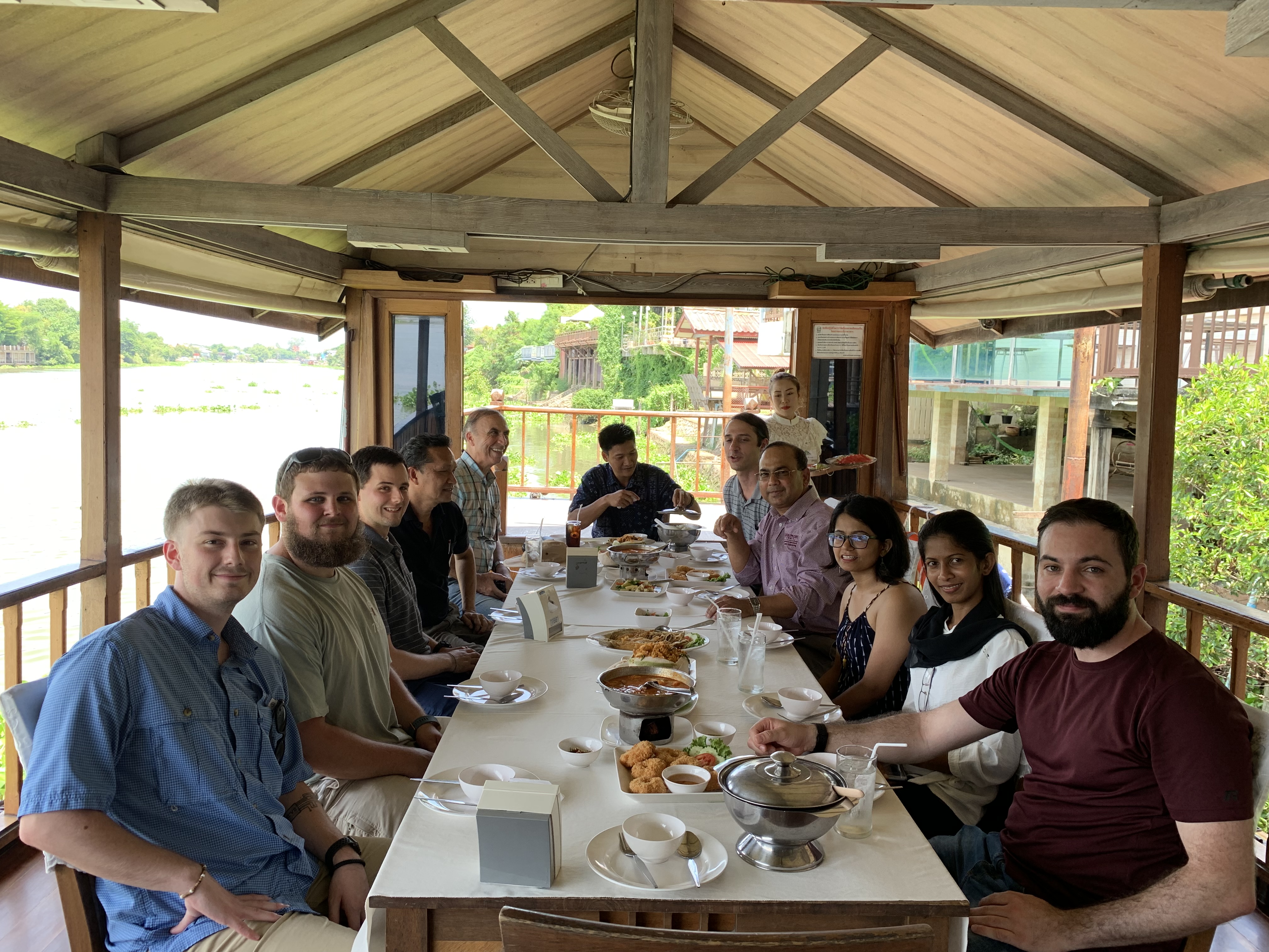
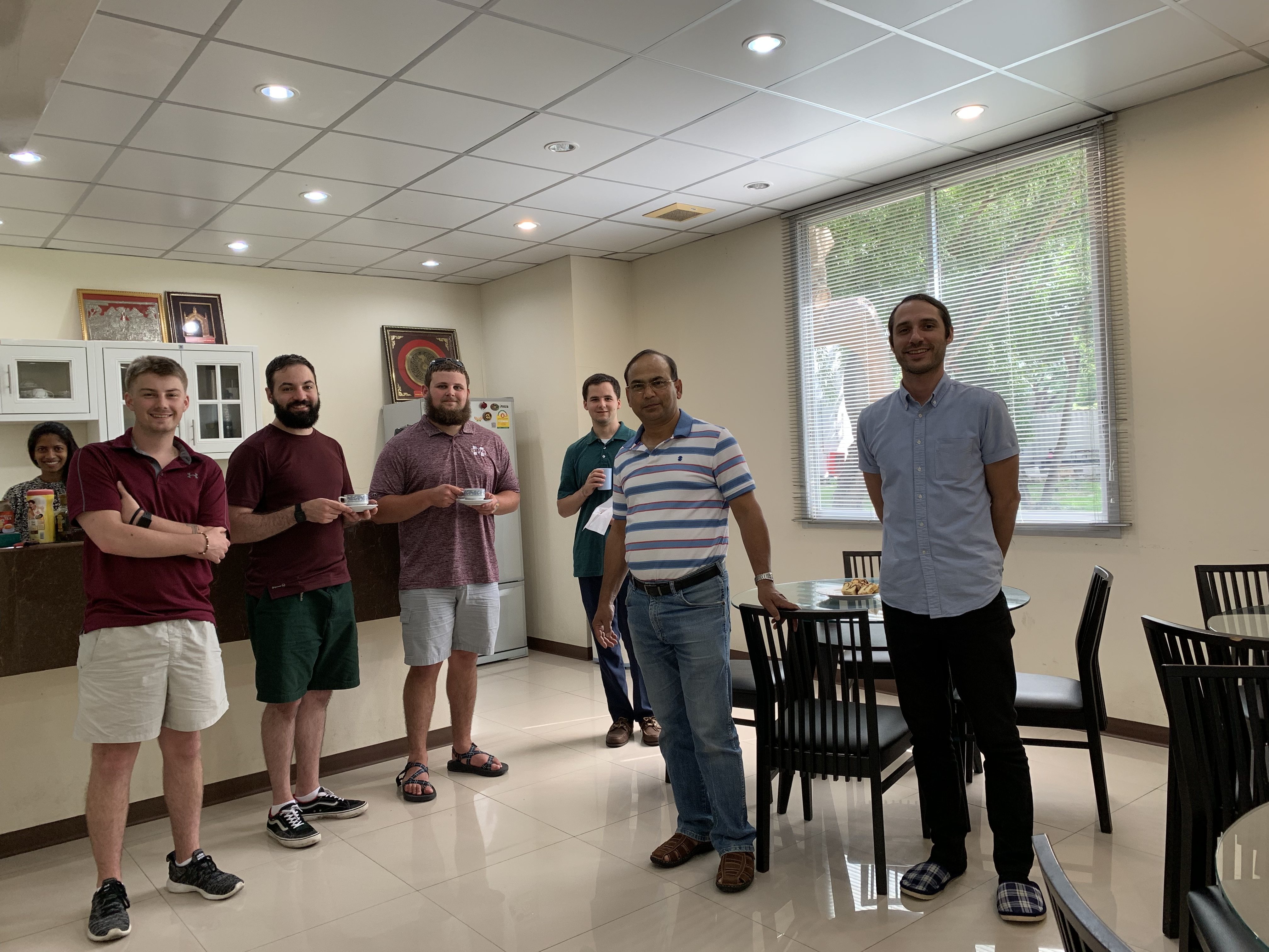
While the students came from a variety of engineering backgrounds, they found the study abroad experience a valuable addition to their university education. Geoinformatics lessons in combination with cultural stops through Thailand made for a unique learning experience, providing perspectives into a new culture and field of study.
Dr. Ganesh Bora, an alumnus of the School of Environment, Resources, and Development at AIT, led the study abroad trip. After graduating with a masters degree from the Faculty of Agricultural Systems and Engineering, Dr. Bora went on to complete his terminal degree at Kansas State University in the United States. Currently he serves as faculty at Mississippi State University in Starkville, Mississippi, USA.