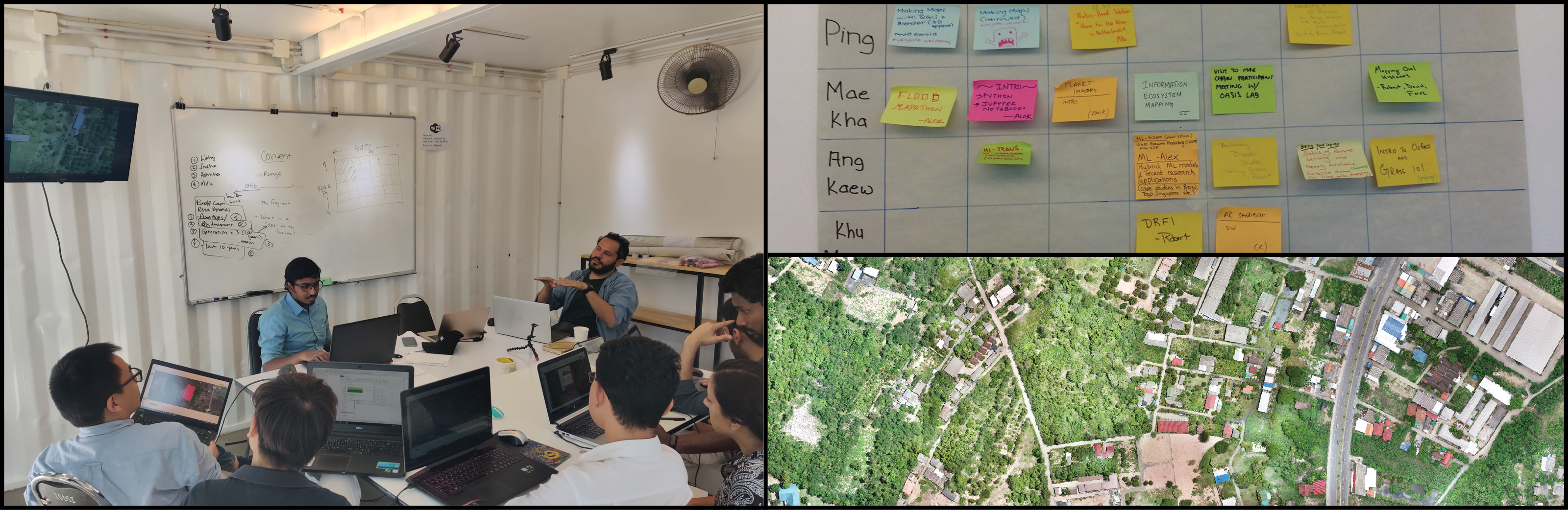
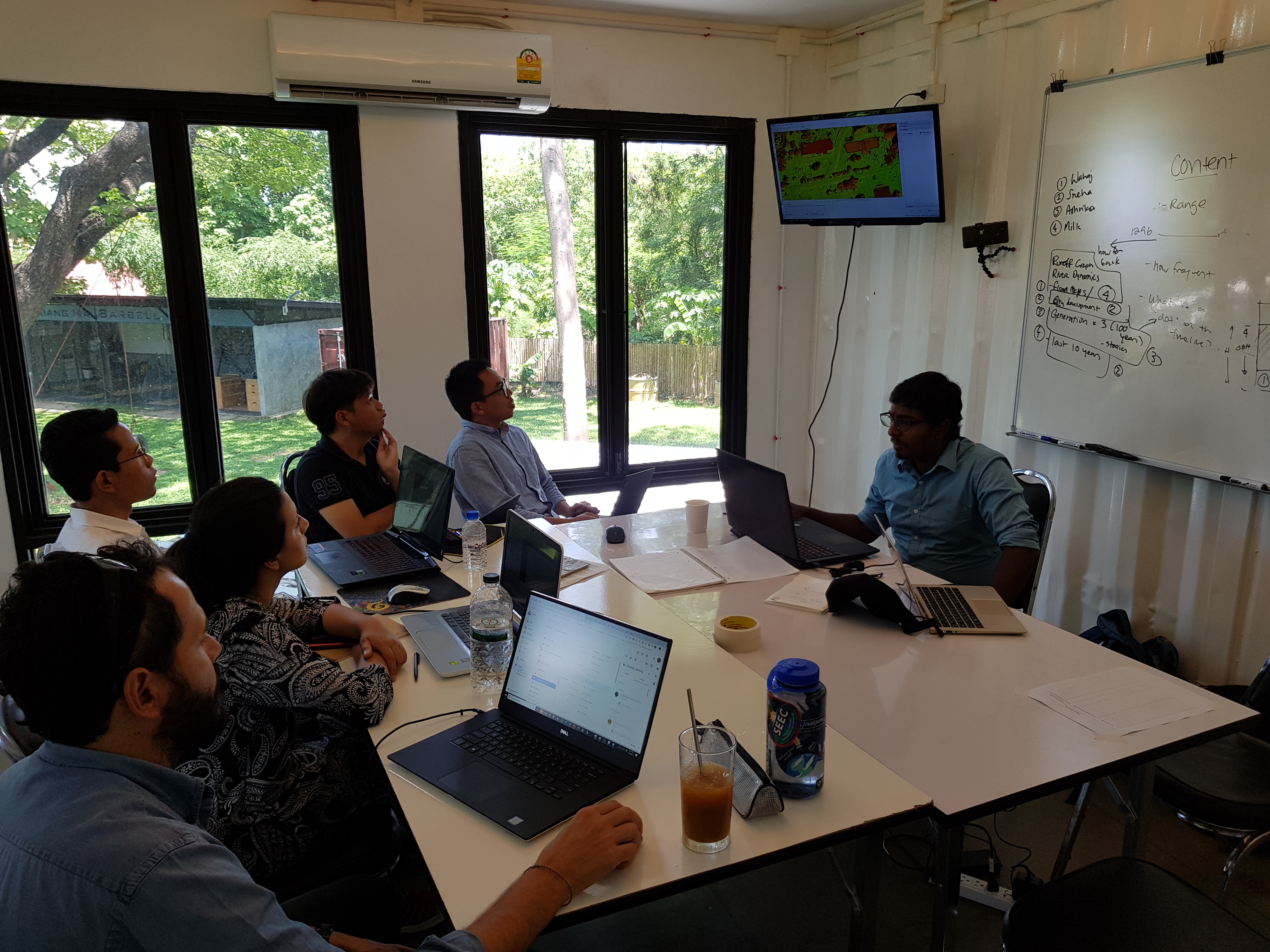
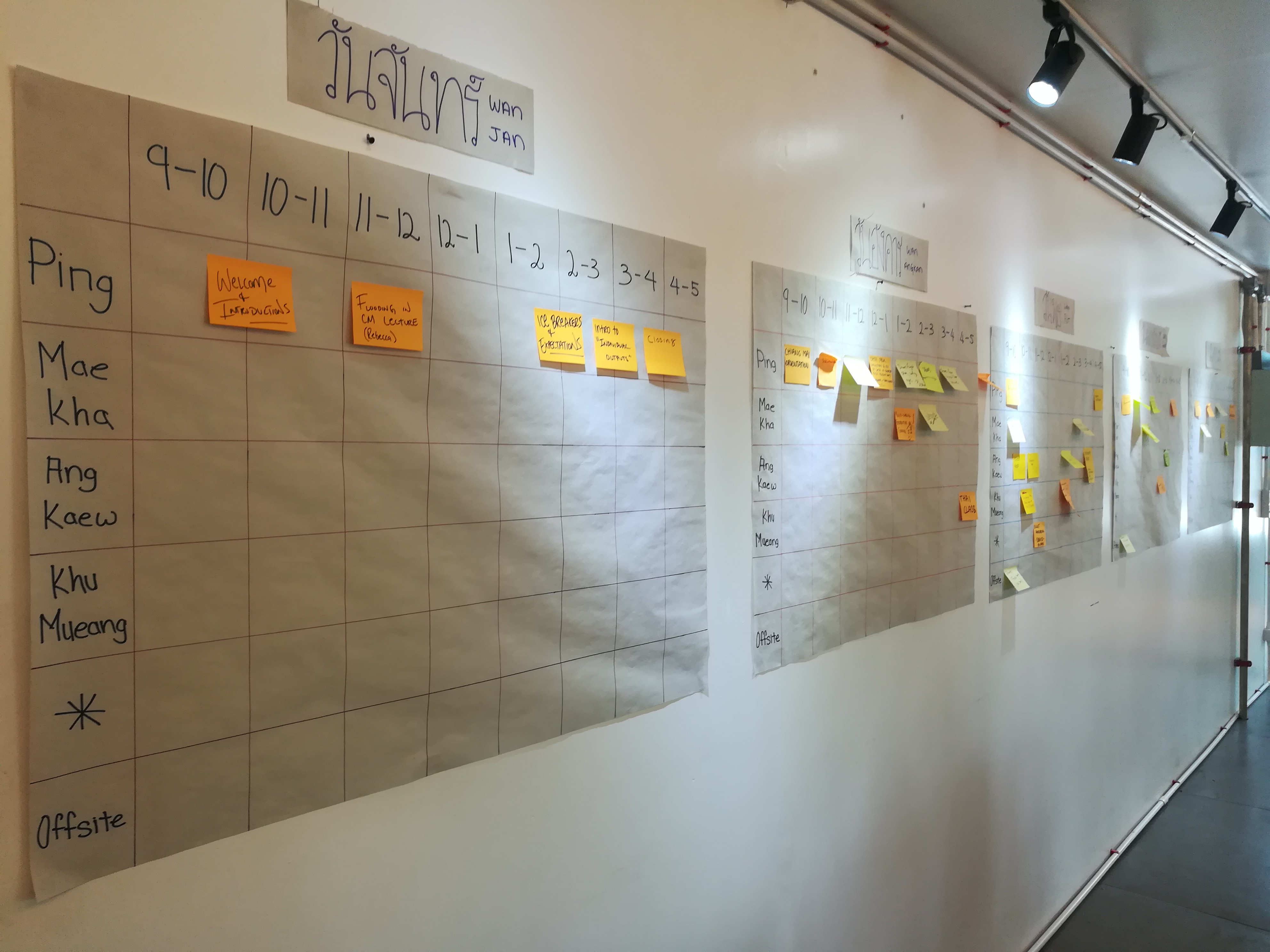
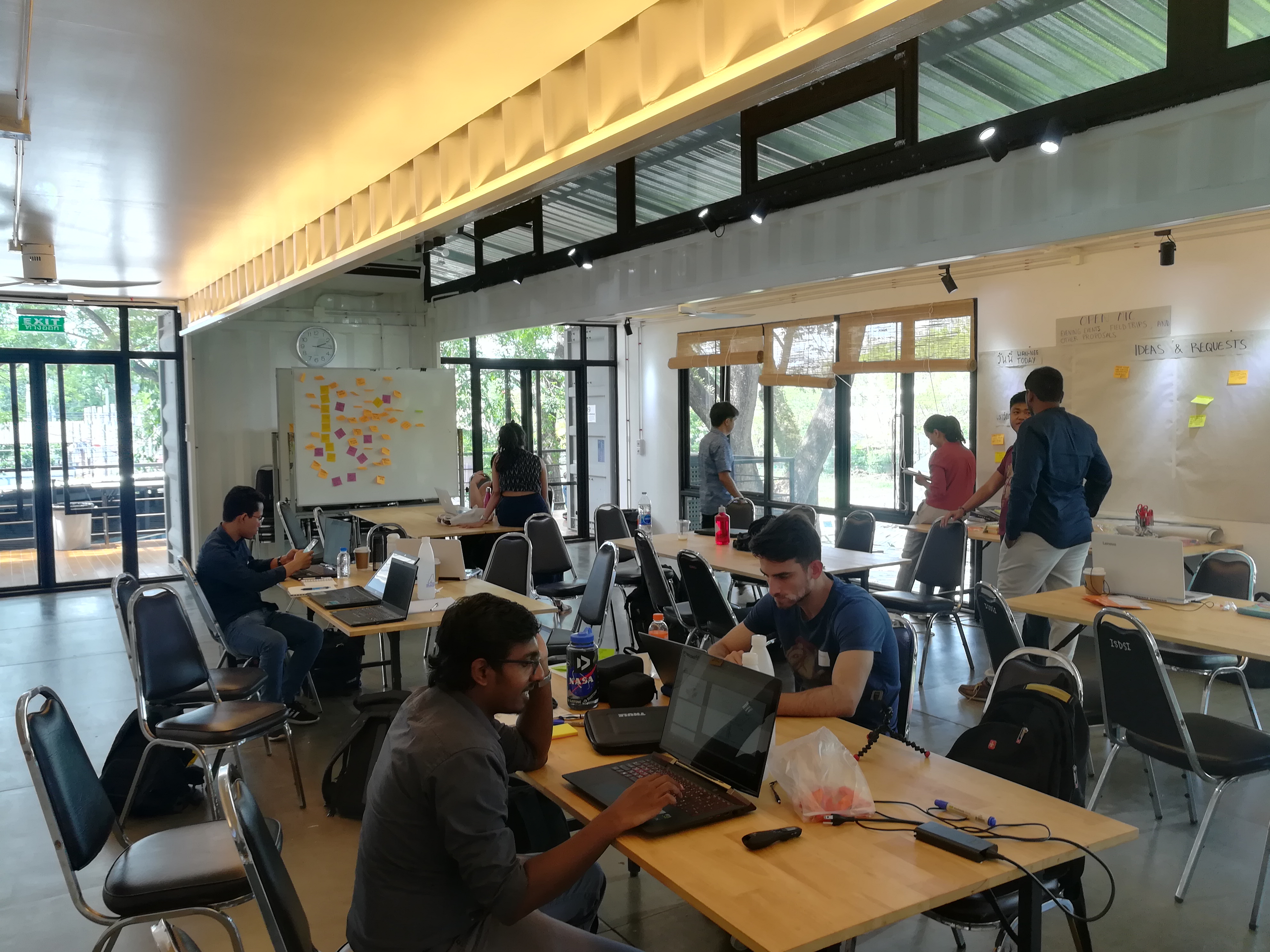
GIC staff participated in the Understanding Risk Field Lab which took place at the International Sustainable Development Studies Institute in Chiang Mai, Thailand from June 3 – 28, 2019. The theme of the field lab was urban flooding in Chiang Mai, which was handled in a multi-faceted approach.
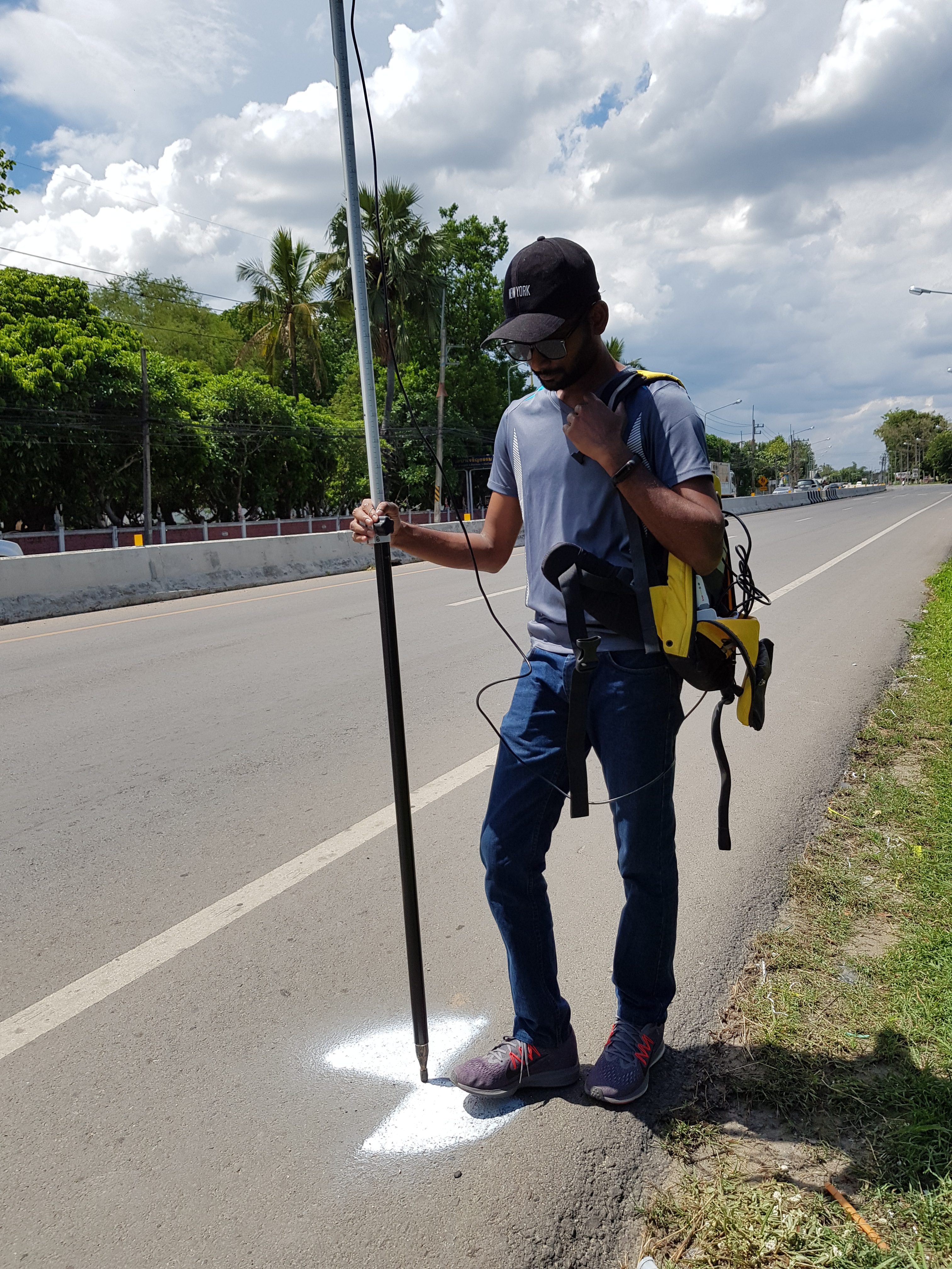
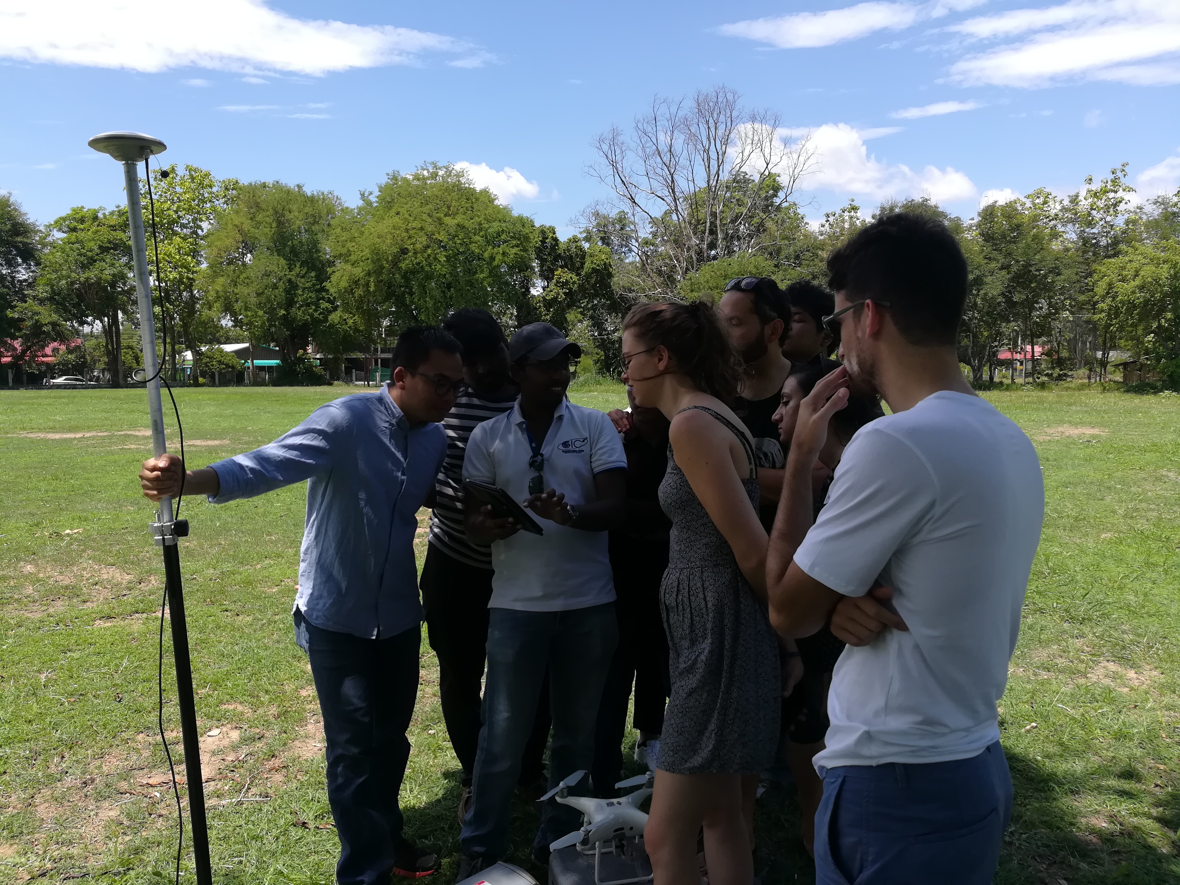
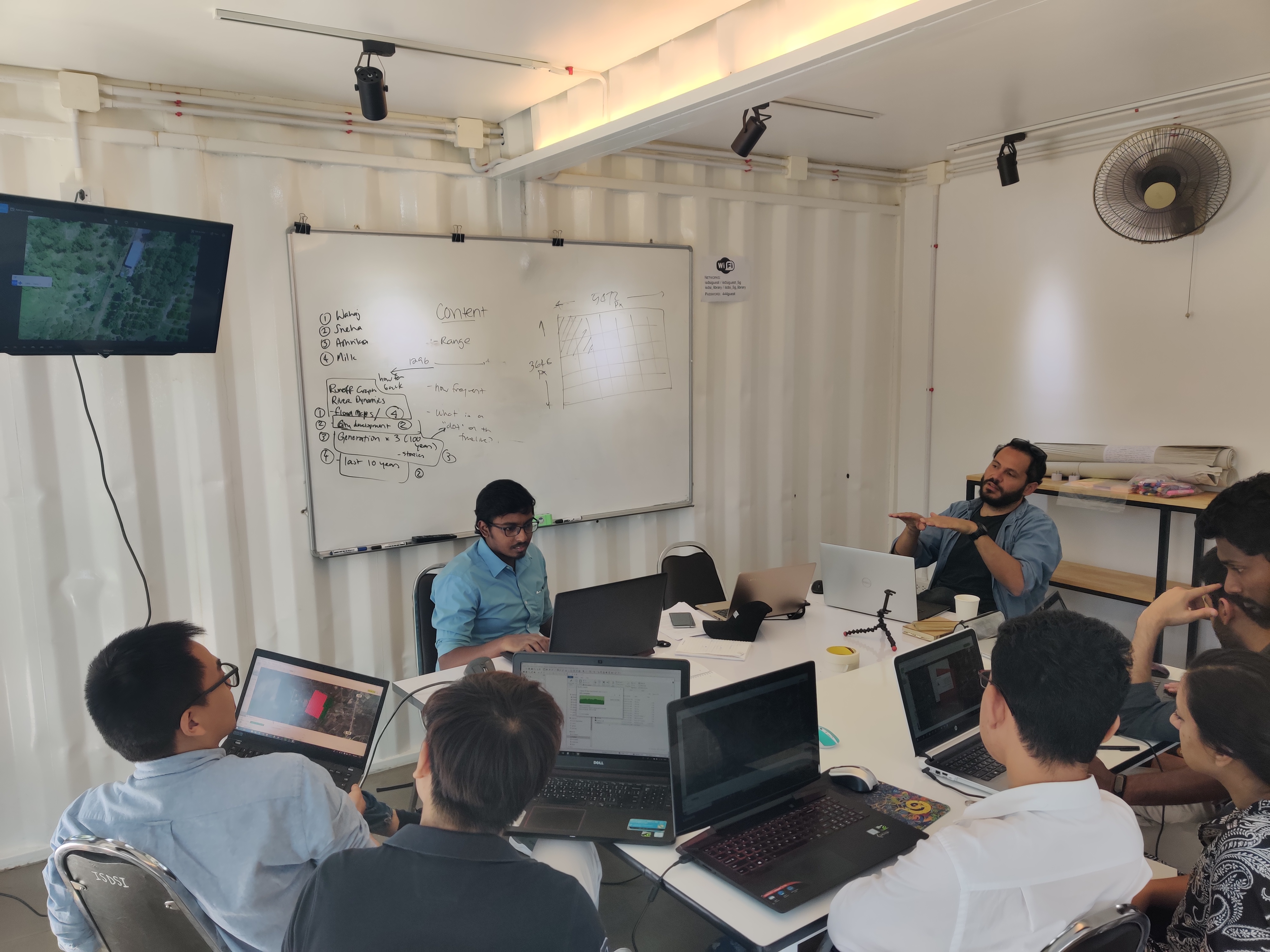
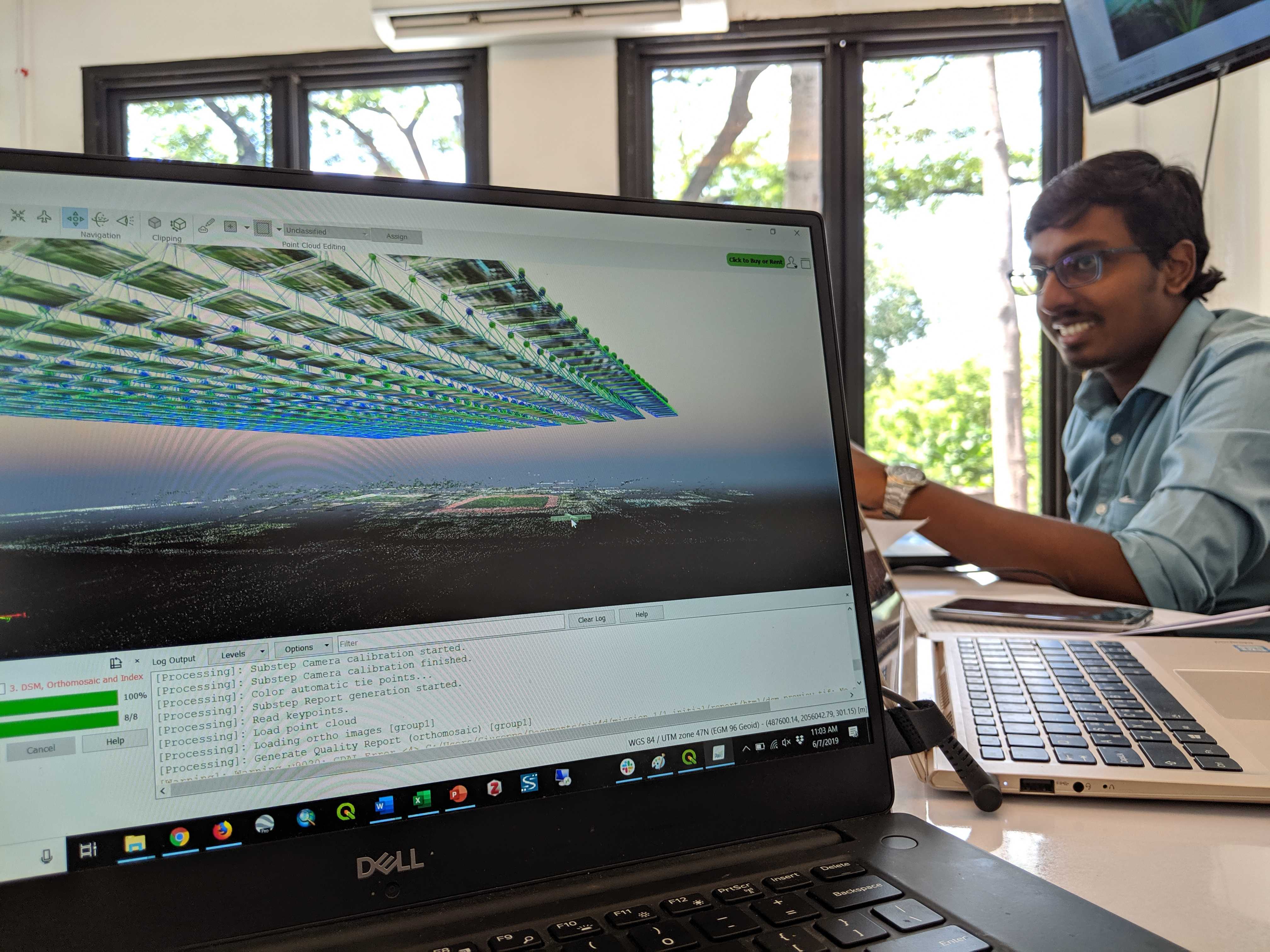
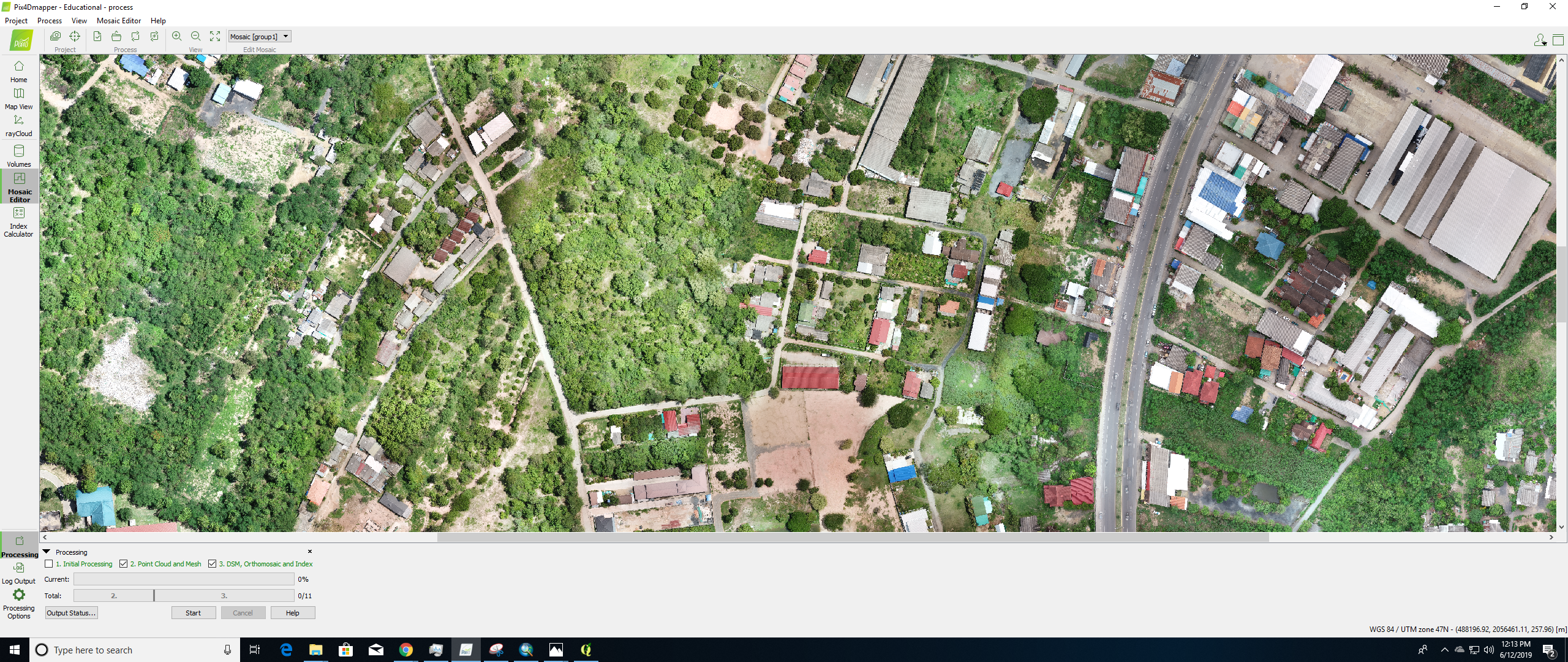
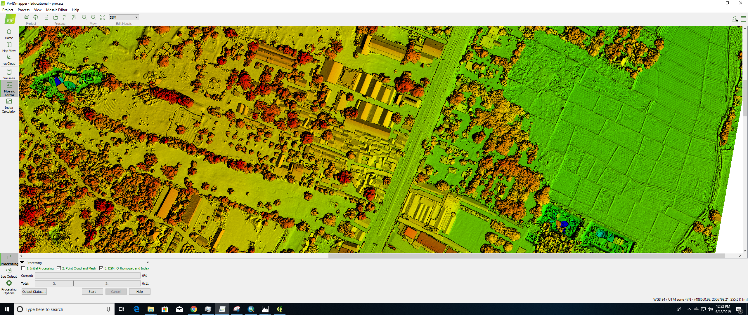
GIC staff were on hand during the first week of the month-long field lab to lend their expertise in drone data acquisition. Initially they selected a suitable area of interest in regards to flooding with consideration to the no-fly zone and delivered technical sessions on drone image acquisition theory. In the field the team performed missions to capture imagery over the 2km2 area of interestwith a DJI Phantom 4 multirotor and performed a GNSS survey of ground control points including logging via smart device. Finally, the team returned to the lab to process the drone imagery to create deliverables including orthomosaic and digital surface model. The deliverables were to be used during further sessions of the field lab to modelling flooding in Chiang Mai.
Themes for the field lab included AI and Machine Learning for Flood Impact, Nature-based Solutions to Mitigate Flood Risk, Sensing and the ‘Internet of Things’, Community Mapping with OpenStreetMap, Risk Communication & Visualising Oral Histories of Flooding, Art & Science for Flood Risk, and User-centred Design for Disaster Risk Financing.
Understanding Risk is a nonprofit organization that is addressing disaster risk assessment through community involvement. The community is vast, consisting of over 9,000 professionals in the geospatial and disaster prevention community from across the globe. To learn more please visit https://understandrisk.org